Potomac Yard in Alexandria, Virginia — The American South (Mid-Atlantic)
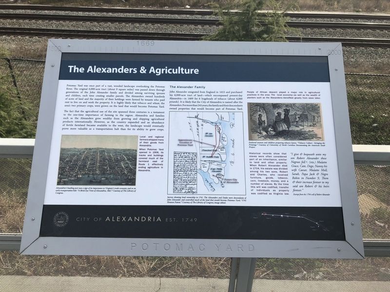
The Alexanders & Agriculture
City of Alexandria Est. 1749
— Potomac Yard —
The fact that the agricultural use of the site spanned three centuries is a testament to the one-time importance of farming to the region. Alexandria and families such as the Alexanders grew wealthy from growing and shipping agricultural products internationally. However, as the country expanded and an abundance of fertile farmland became available to the west, the landscape would eventually prove more valuable as a transportation hub than for its ability to grow crops.
Local and regional farmers shipped many of their goods from Alexandria.
When Potomac Yard opened in 1906, its tracks and buildings covered much of the farmland east of Route 1 effectively ending agriculture in Alexandria.
The Alexander Family
John Alexander emigrated from England in 1653 and purchased his 6,000-acre tract of land—which encompassed present-day Alexandria—in 1669 for 6 hogsheads of tobacco (about 6,000 pounds). It is likely that the City of Alexandria is named after the Alexanders. For more than 245 years, the family and their descendants owned properties that would become part of Potomac Yard.
People of African descent played a major role in agricultural practices in the area. The local economy—as well as the wealth of the planters such as the Alexanders—benefited greatly from slave labor.
Historical records show that slaves were often considered part of an inheritance, similar to land and other property. When Robert Alexander died in 1704, his estate was divided among his two sons, Robert and Charles, who received furniture, goods, tobacco, corn, livestock, money, and a number of slaves. By the time this will was codified, transfer of individuals as property was codified as Virginia Law.
"I give & bequeath unto my son Robert Alexander these Negro foll g. (viz.) Mulatto Grace, Cate, Dego, Nanny his wife Caesar, Mulatto Moll, Sarah, Papa Jack & Negro Robin in Number 9, Them & their increase forever to my said son Robert & his heirs forever."
Excerpt from the 1704 will of Robert Alexander
Erected by
Topics and series. This historical marker is listed in these topic lists: African Americans • Agriculture • Colonial Era • Settlements & Settlers. In addition, it is included in the Virginia, The City of Alexandria series list.
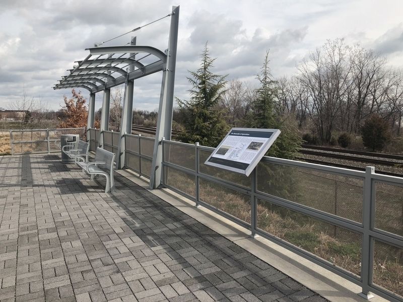
Location. 38° 49.963′ N, 77° 2.844′ W. Marker is in Alexandria, Virginia. It is in Potomac Yard. Marker is on Potomac Avenue north of East Glebe Road, on the right when traveling north. The marker stands in the Potomac Yard neighborhood of Alexandria. Touch for map. Marker is at or near this postal address: 2501 Potomac Avenue, Alexandria VA 22305, United States of America. Touch for directions.
Other nearby markers. At least 8 other markers are within walking distance of this marker. Virginia's First Highways (within shouting distance of this marker); Building Potomac Yard (approx. 0.2 miles away); Ruby Tucker (approx. 0.4 miles away); The People of Potomac Yard (approx. 0.4 miles away); The Bluemont Line (approx. half a mile away); Corporal Charles William Hill (approx. 0.6 miles away); St. Asaph Racetrack (approx. 0.6 miles away); Mount Vernon Trail (approx. 0.6 miles away). Touch for a list and map of all markers in Alexandria.
Credits. This page was last revised on January 27, 2023. It was originally submitted on March 30, 2018, by Devry Becker Jones of Washington, District of Columbia. This page has been viewed 250 times since then and 22 times this year. Photos: 1, 2. submitted on March 30, 2018, by Devry Becker Jones of Washington, District of Columbia. • Bernard Fisher was the editor who published this page.

