Jacksonport in Jackson County, Arkansas — The American South (West South Central)
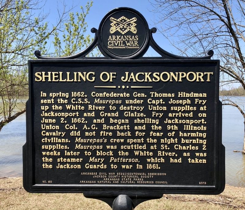
Shelling of Jacksonport
Erected 2013 by Arkansas Civil War Sesquicentennial Commission, Jackson County Historical Society, Arkansas State Parks, Arkansas Natural and Cultural Resources Council. (Marker Number 60.)
Topics and series. This historical marker is listed in these topic lists: War, US Civil • Waterways & Vessels. In addition, it is included in the Arkansas Civil War Sesquicentennial Commission series list. A significant historical date for this entry is June 2, 1862.
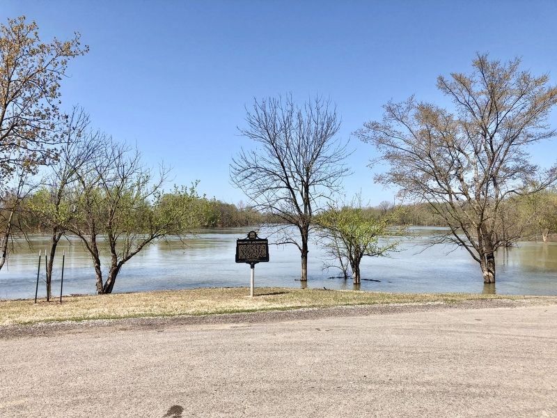
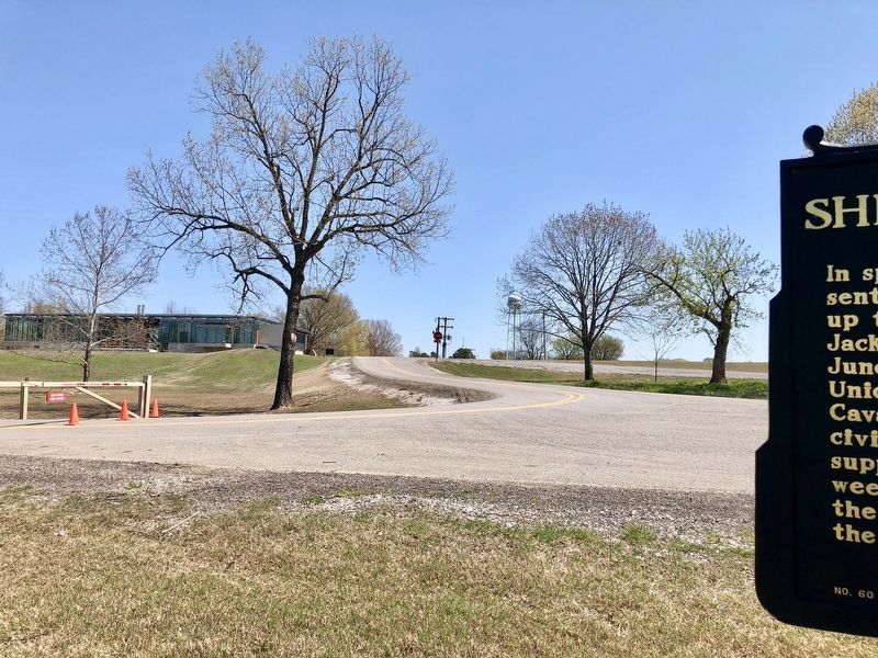
Location. 35° 38.305′ N, 91° 18.746′ W. Marker is in Jacksonport, Arkansas, in Jackson County. Marker is on Avenue Street, 0.1 miles west of Adams Street, on the right when traveling west. Touch for map. Marker is at or near this postal address: Avenue Street, Newport AR 72112, United States of America. Touch for directions.
Other nearby markers. At least 8 other markers are within walking distance of this marker. The Port of Jacksonport (about 300 feet away, measured in a direct line); Welcome to Jacksonport State Park (about 500 feet away); Building the City (about 600 feet away); Jacksonport in the Civil War (about 700 feet away); Jackson Guards Monument (about 800 feet away); Jacksonport Civil War Cannon (about 800 feet away); Surrender at Jacksonport (approx. 0.2 miles away); The Courthouse (approx. 0.2 miles away). Touch for a list and map of all markers in Jacksonport.
Also see . . .
1. Jacksonport in the Civil War. Encyclopedia of Arkansas History & Culture entry (Submitted on April 12, 2018, by Mark Hilton of Montgomery, Alabama.)
2. C.S.S. Maurepas. Encyclopedia of Arkansas History & Culture entry. (Submitted on April 12, 2018, by Mark Hilton of Montgomery, Alabama.)
Credits. This page was last revised on January 6, 2021. It was originally submitted on April 12, 2018, by Mark Hilton of Montgomery, Alabama. This page has been viewed 284 times since then and 15 times this year. Photos: 1, 2, 3. submitted on April 12, 2018, by Mark Hilton of Montgomery, Alabama.


