Near Rochelle in McCulloch County, Texas — The American South (West South Central)
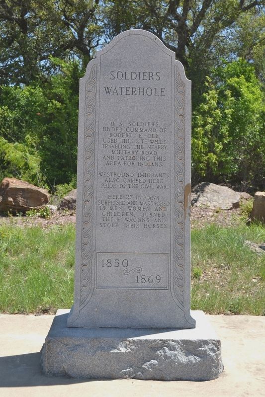
Soldiers Waterhole
1850 - 1869
Westbound immigrants also camped here prior to the Civil War.
Here 27 Indians surprised and massacred 18 men, women and children, burned their wagons and stole their horses.
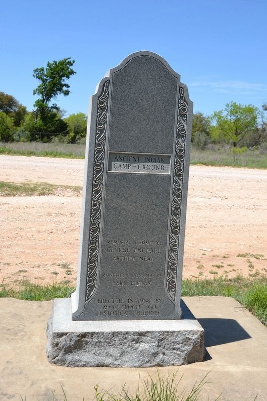
Erected 1964 by McCulloch County Historical Society. (Marker Number 4976.)
Topics. This historical marker is listed in these topic lists: Native Americans • Wars, US Indian. A significant historical year for this entry is 1850.
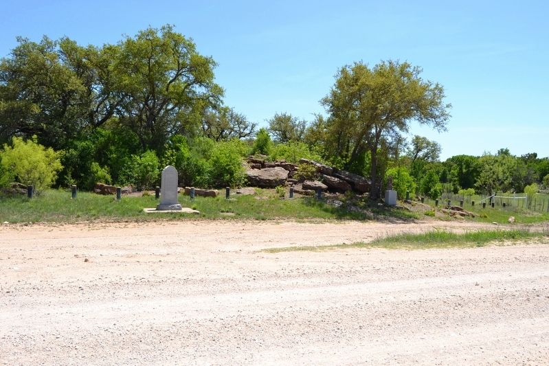
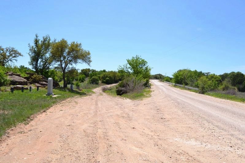
Location. 31° 10.444′ N, 99° 13.58′ W. Marker is near Rochelle, Texas, in McCulloch County. Marker is on County Road 412, one mile east of County Road 416, on the right when traveling east. Marker is located where County Road 412 crosses Onion Creek. Touch for map. Marker is in this post office area: Rochelle TX 76872, United States of America. Touch for directions.
Other nearby markers. At least 8 other markers are within 7 miles of this marker, measured as the crow flies. Onion Creek Indian Fight (approx. 1.7 miles away); Swedish Settlers (approx. 1.8 miles away); East Sweden Presbyterian Church (approx. 1.9 miles away); Rochelle Cemetery (approx. 3.6 miles away); Rochelle Depot (approx. 3.8 miles away); Curtis Airfield (approx. 5˝ miles away); Union Passenger Depot (approx. 6.9 miles away); McCulloch County Courthouse (approx. 7 miles away). Touch for a list and map of all markers in Rochelle.
More about this marker. Although the marker was installed by McCulloch County Historical Society, the Texas Historical Commission lists the marker as State marker #4976.
Regarding Soldiers Waterhole. On the reverse side of the marker is inscribed: Ancient Indian Camp - Ground
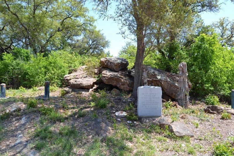
Near the marker is another marker with the following inscription: This site served as a natural fort for early day travelers / Donated by Louis and Tom Moorman, Moorman Ranch, to the McCulloch County Historical Society
Also see . . . Early Swedish Settlers. A 1972 historical survey of the history of Swedish communities in McCulloch County, provided by the McCulloch County Historical Survey Committee. Also includes information on the Soldier’s Waterhole and the monument placed by the McCulloch County Historical Society. (Submitted on April 17, 2018.)
Credits. This page was last revised on April 17, 2018. It was originally submitted on April 17, 2018, by Duane Hall of Abilene, Texas. This page has been viewed 1,823 times since then and 238 times this year. Photos: 1, 2, 3, 4, 5. submitted on April 17, 2018, by Duane Hall of Abilene, Texas.
