Pineville in Rapides Parish, Louisiana — The American South (West South Central)
Pineville #1
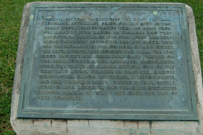
Pineville today encompasses the first central Louisiana settlement begun on this spot in the early 1700's. Post Du Rapide took its name from "el rapido", the rapides in Spanish and "les rapide", from the French. The first levee was built along the river following the 1927 Flood. This was the beginning of the 100 block of Main Street, The second levee was constructed after the 1945 Flood and the businesses that once thrived on the banks of Red River vanished. Among them were the T.N. Price Filling Station, one of the first auto repair centers in Pineville. Rapides Syrup Works, David's Warehouse, Liberto's Fruits, and The Pineville News, owned by Bill Skeels. Today only a residence and the Glass Specialties business remain at what was once the hub of area commerce.
Erected by City of Pineville.
Topics. This historical marker is listed in these topic lists: Roads & Vehicles • Settlements & Settlers • Waterways & Vessels.
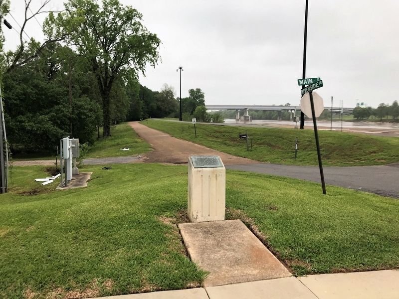
Location. 31° 18.862′ N, 92° 26.501′ W. Marker is in Pineville, Louisiana, in Rapides Parish. Marker is at the intersection of Main Street and Riverside Drive, on the right when traveling east on Main Street. Touch for map. Marker is in this post office area: Pineville LA 71360, United States of America. Touch for directions.
Other nearby markers. At least 8 other markers are within walking distance of this marker. Pineville River Front Trail (within shouting distance of this marker); Pineville #2 (within shouting distance of this marker); Pineville #3 (about 400 feet away, measured in a direct line); Old Rapides Cemetery (about 500 feet away); 200 Block of Main Street (approx. 0.2 miles away); Red River (approx. 0.2 miles away); The Jewish Cemetery (approx. 0.2 miles away); 300 Block Main Street (approx. 0.2 miles away). Touch for a list and map of all markers in Pineville.
Credits. This page was last revised on September 1, 2023. It was originally submitted on April 20, 2018, by Cajun Scrambler of Assumption, Louisiana. This page has been viewed 271 times since then and 22 times this year. Photos: 1, 2. submitted on April 20, 2018.

