Copake Falls in Columbia County, New York — The American Northeast (Mid-Atlantic)
Harlem Valley Rail Trail
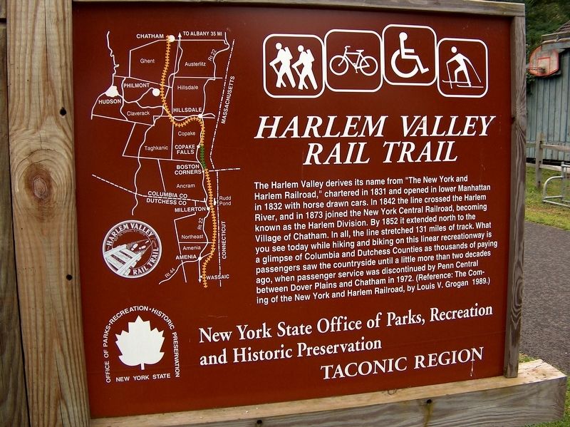
The Harlem Valley derives its name from "The New York and Harlem Railroad," chartered in 1831 and opened in lower Manhattan in 1832 with horse drawn cars. In 1842 the line crossed the Harlem River, and in 1873 joined the New York Central Railroad, becoming known as the Harlem Division. By 1852 it extended north to the Village of Chatham. In all, the line stretched 131 miles of track. What you see today while hiking and biking on this linear recreationway is a glimpse of Columbia and Dutchess Counties as thousands of paying passengers saw the countryside until a little more than two decades ago, when passenger service was discontinued by Penn Central between Dover Plains and Chatham in 1972. (Reference: The Coming of the New York and Harlem Railroad, by Louis V. Grogan 1989.)
New York State Office of Parks, Recreation and Historic Preservation
Taconic Region
Erected by New York State Office of Parks, Recreation and Historic Preservation.
Topics. This historical marker is listed in these topic lists: Man-Made Features • Parks & Recreational Areas • Railroads & Streetcars. A significant historical year for this entry is 1831.
Location. 42° 7.235′ N, 73° 31.19′ W. Marker is in Copake Falls, New York, in Columbia County. Marker is on New York State Route 344 east of Miles Road, on the right when traveling east. Marker is located on the south side of the highway, beside the rail trail, near the former New York Central Railroad Copake Falls Station. Touch for map. Marker is at or near this postal address: 244 New York Highway 344, Copake Falls NY 12517, United States of America. Touch for directions.
Other nearby markers. At least 8 other markers are within walking distance of this marker. Site of Railroad Depot (here, next to this marker); Copake Iron Works Historic District (about 400 feet away, measured in a direct line); Welcome to Taconic State Park (about 700 feet away); Blast Furnace & Charging Deck (approx. 0.2 miles away); Copake Falls War Memorial (approx. 0.2 miles away); Isaac Chesbrough House (approx. 0.2 miles away); Site of Pomeroy Houses (approx. 0.2 miles away); Copake Iron Works (approx. ¼ mile away). Touch for a list and map of all markers in Copake Falls.
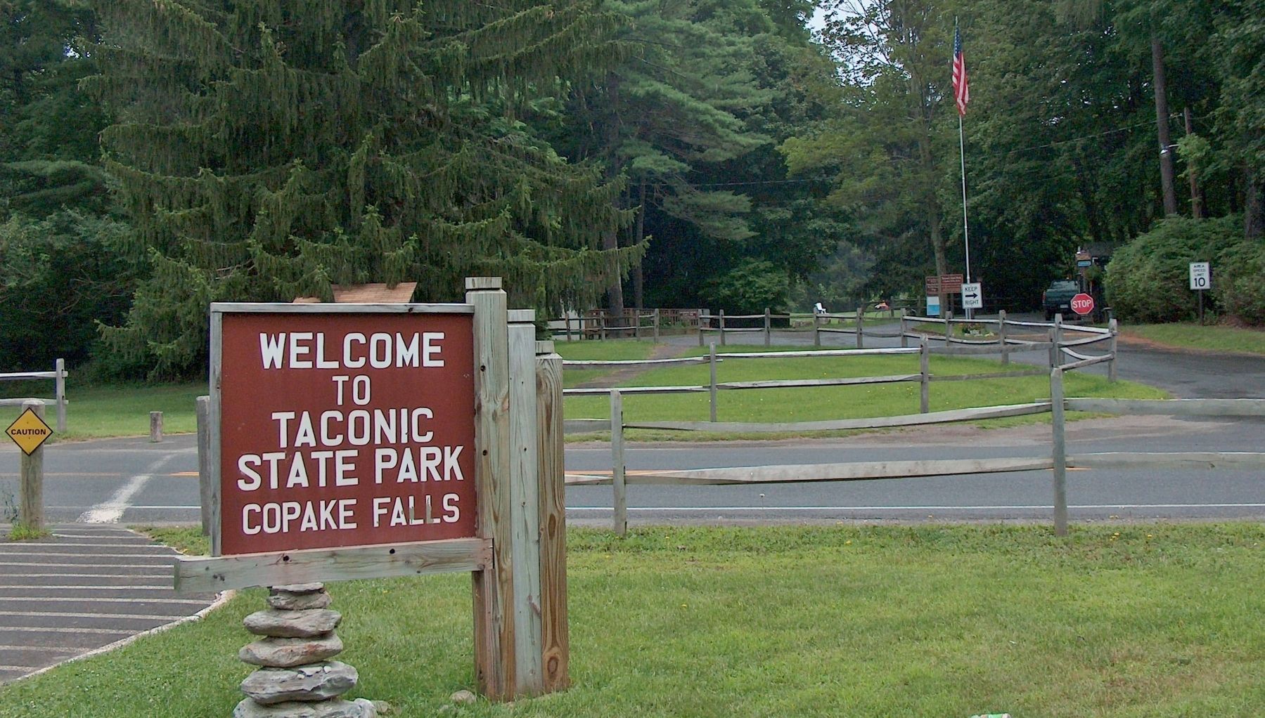
More about this marker. This is a large, wooden, painted "billboard-style" marker built into a heavy-duty wood frame. The back side of the marker is a welcome sign for Taconic State Park which is on the north side of New York Highway State 344 at this location.
Also see . . .
1. Railroad and Local History.
(Along with the history, this link presents an old picture of the railroad passing here beside the Copake Station.)
In 1852, the New York & Harlem Railroad was built
north to Chatham, NY. This completed an extension of the railroad more than 125 miles northward from its origins in Manhattan. Products could now be transported by rail directly to New York City rather than depending on river transport via Poughkeepsie. The extended line also provided a rail route for people and commerce northward to Albany, Boston, and towns in Vermont and Canada. (Submitted on April 25, 2018, by Cosmos Mariner of Cape Canaveral, Florida.)
2. The Harlem Valley Rail Trail. … is a paved bicycle/pedestrian path built on the old railroad bed that connected New York City, the Harlem Valley, and Chatham, New York. The trains stopped running on the Harlem Line north of Dover Plains in 1976 and three years later the tracks were removed. (Submitted on April 25, 2018, by Cosmos Mariner of Cape Canaveral, Florida.)
3. Harlem Valley Rail Trail.
The former New York and Harlem main line was acquired by the New York Central Railroad in 1864, and became part of Penn Central Railroad in 1968. After facing severe bankruptcy in 1970, the line was abandoned for passenger service between Dover Plains and Chatham in 1972, though freight service continued throughout the line until 1976, when it was abandoned between Millerton and Ghent. The rest of the line was abandoned in 1980. (Submitted on April 25, 2018, by Cosmos Mariner of Cape Canaveral, Florida.)
Credits. This page was last revised on April 26, 2018. It was originally submitted on April 25, 2018, by Cosmos Mariner of Cape Canaveral, Florida. This page has been viewed 306 times since then and 23 times this year. Photos: 1, 2. submitted on April 25, 2018, by Cosmos Mariner of Cape Canaveral, Florida. • Andrew Ruppenstein was the editor who published this page.

