Salvatierra, Guanajuato, Mexico — The Central Highlands (North America)
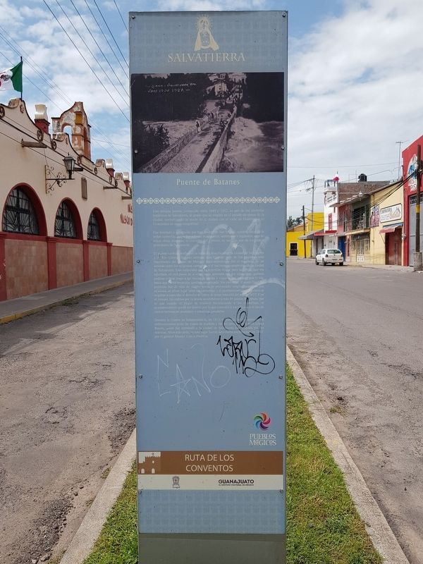
Bridge of Batanes
Ruta de los Conventos - The Convent Route
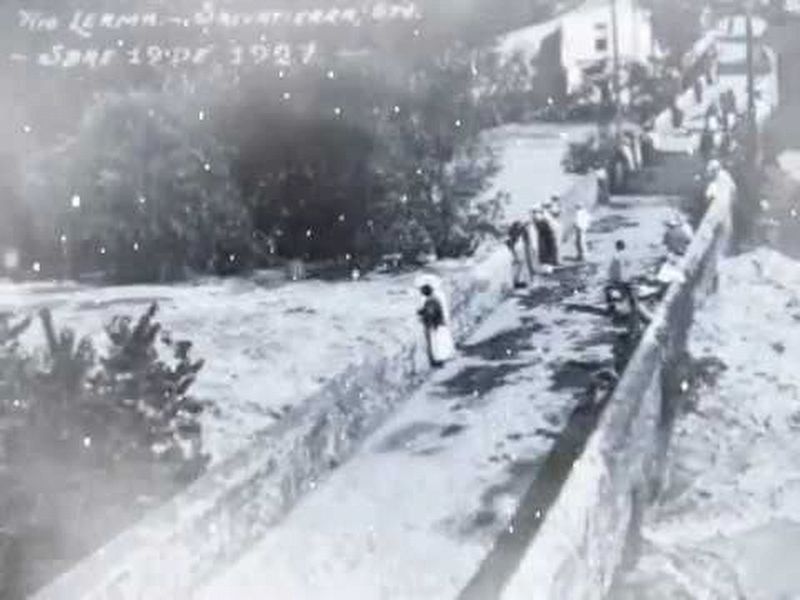
Este antiguo puente, construido entre 1649 y 1652, es uno de los símbolos históricos de Salvatierra, al grado que se emplea en el escudo de armas de la ciudad, simbolizando la unión de la ciudad con el valle de Huatzindeo (o Guatzindeo en otras ortografías).
Fue diseñado y construido por fray Andrés de San Miguel, notable sabio de la orden camelita, quien fue además matemático, astrónomo e ingeniero, otra de cuyas obras maestras, el convento del Carmen, es también uno de los icoonos principales de Salvatierra.
El puente también simboliza la estrecha relación entre la ciudad de Salvatierra y el Río Lerma, llamado también Río Grande, uno de los caudales mas importantes del centro de México. Su construcción fue el resultado de un acuerdo entre los religiosos carmelitas y el naciente ayuntamiento de la ciudad de Salvatierra. Este estipulaba que la inversión inicial para las obras, que era calculada en mil pesos de a ocho, seria aportada por los carmelitas, quienes podrían cobrar peaje a las recuas de mulas y viajeros que pasarán por la via, hasta que dicha inversión quedara amortizada. Sin embargo, el costo final del proyecto fue de más de cuatro veces lo proyectado originalmente, lo que ocasionó un pleito legal entre los carmelitas y el ayuntamiento, ya que estos se negaban a conceder el derecho de cobro de peaje más alla del año de 1652. Con el tiempo, los réditos por la deuda ascendieron a más de quince mil pesos, por lo que cuando el litigio se resolvió favoreciendo a los carmelitas, el ayuntamiento se quedó sin dinero, por lo que concedió a los religiosos el uso de vastos terrenos de pastizales y estancias ganaderas.
Durante la Guerra de Independencia, en 1813, el puente fue escenario de un enfrentamiento entre las tropas de Iturbide y las del insurgente Ramón López Rayón, quien fue derrotado y la ciudad de Salvatierra fue ocupado por los realistas. Años más tarde, en este lugar fueron derrotados los franceses en 1867, por el general Manuel Garcia Pueblita.
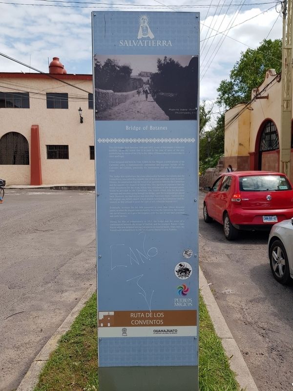
Bridge of Batanes
This old bridge, built between 1649 and 1652, is one of Salvatierra’s historical symbols, up to the extent that it is used in the coat of arms of the city, symbolizing the union of the City to the valley of Huatzindeo (or Guatzindeo in other spellings).
It was designed and built by Friar Andrés de San Miguel, a noted scholar of the Carmelite order, a mathematician, astronomer and engineer, builder of the Convento del Carmen, practically his masterpiece and one of Salvatierra’s icons.
The bridge also symbolizes the close relationship between Salvatierra and the Lerma River, also called Rio Grande, one of the most important rivers in central Mexico. Its construction was the result of an agreement between the Carmelites and the nascent city council of Salvatierra. This agreement stipulated that the initial investment for the work, which was calculated in one thousand pesos, would be provided by the Carmelites, who would collect tols for the mule carriages and travelers going through the bridge, until the investment got payed back. However, the final project was more than four times more expensive than the original one, which cause a legal dispute between the Carmelites and the council, as they refused to grant the right of toll collection beyond 1652.
Eventually, revenues for the debt amounted to more than fifteen thousand pesos, so when the dispute was resolved by favoring the Carmelites, the council ran out of money, so it gave the religious order the use of vast land grassland and cattle ranches.
During the War of Independence in 1813, the bridge was the scene of a confrontation between the troops of Iturbide and the insurgente Ramón López Rayón who was defeated leaving Salvatierra on royalist hands. Years later, the French were defeated here in 1867 by General Manuel Garcia
Pueblita.
Topics. This historical marker is listed in these topic lists: Bridges & Viaducts • Churches & Religion • Man-Made Features • Wars, Non-US. A significant historical year for this entry is 1649.
Location. 20° 12.671′ N, 100° 53.168′ W. Marker is in Salvatierra, Guanajuato. Marker is on Calle Fray Andrés de San Miguel just east of Calle Batanes, in the median. Touch for map. Marker is in this post office area: Salvatierra GTO 38900, Mexico. Touch for directions.
Other nearby markers. At least 8 other markers are within walking distance of this marker. The Battle of the Bridge of Batan (within shouting distance of this marker); General Emiliano Zapata (approx. 0.4 kilometers away); The Founders of Salvatierra (approx. half a kilometer away); Dr. Jesús Guisa y Azevedo (approx. half a kilometer away); Church and Former Convent of the Capuchinas (approx. half a kilometer away); Church and Former Convent of San Buenaventura (approx. 0.6 kilometers away); Agustín de Carranza y Salcedo (approx. 0.6 kilometers away); Old Factory “La Carolina y Reforma" (approx. 0.6 kilometers away). Touch for a list and map of all markers in Salvatierra.
Credits. This page was last revised on April 5, 2024. It was originally submitted on May 14, 2018, by J. Makali Bruton of Accra, Ghana. This page has been viewed 386 times since then and 45 times this year. Photos: 1, 2. submitted on September 29, 2020, by J. Makali Bruton of Accra, Ghana. 3. submitted on May 14, 2018, by J. Makali Bruton of Accra, Ghana. 4. submitted on September 29, 2020, by J. Makali Bruton of Accra, Ghana. 5. submitted on May 14, 2018, by J. Makali Bruton of Accra, Ghana.
