Downtown in Little Rock in Pulaski County, Arkansas — The American South (West South Central)
Settlements
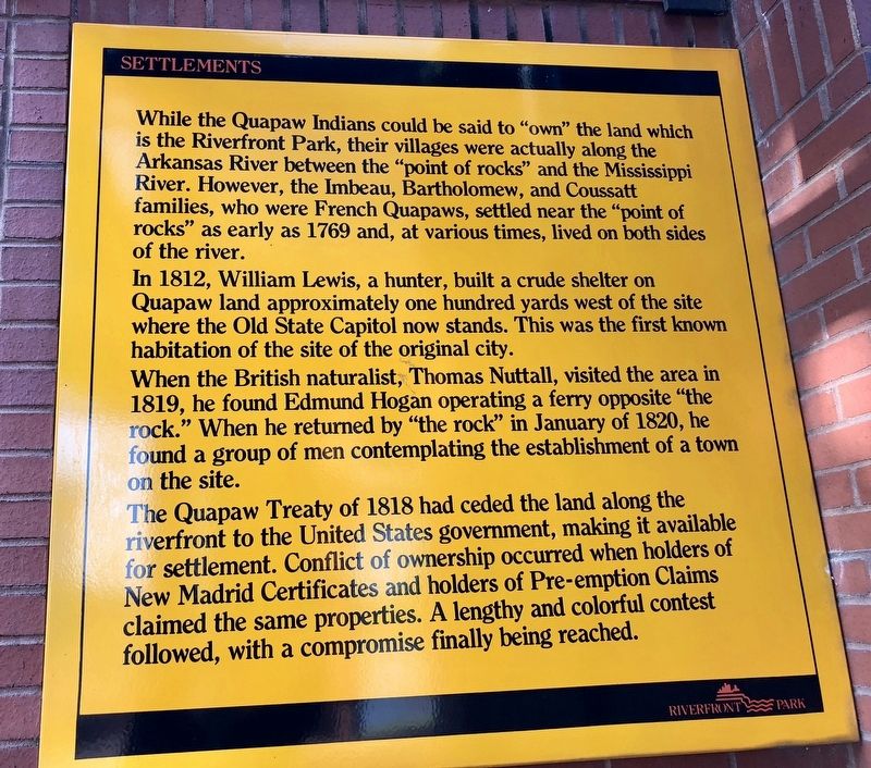
In 1812, William Lewis, a hunter, built a crude shelter on Quapaw land approximately one hundred yards west of the site where the Old State Capitol now stands. This was the first known habitation of the site of the original city.
When the British naturalist, Thomas Nuttall, visited the area in 1819, he found Edmund Hogan operating a ferry opposite "the rock." When he returned by "the rock" in January of 1820, he found a group of men contemplating the establishment of a town on the site.
The Quapaw Treaty of 1818 had ceded the land along the riverfront to the United States government, making it available for settlement. Conflict of ownership occurred when holders of New Madrid Certificates and holders of Pre-emption Claims claimed the same properties. A lengthy and colorful contest followed, with a compromise finally being reached.
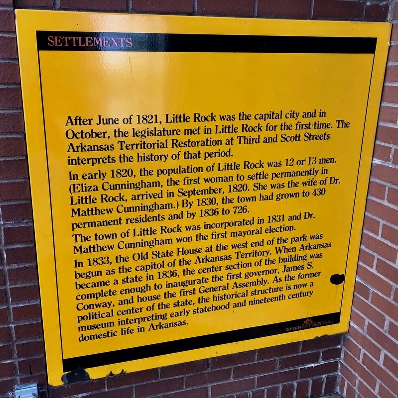
After June of 1821, Little Rock was the capital city and in October, the legislature met in Little Rock for the first time. The Arkansas Territorial Restoration at Third and Scott Streets interprets the history of that period.
In early 1820, the population of Little Rock was 12 or 13 men. Eliza Cunningham, the first woman to settle permanently in Little Rock, arrived in September, 1820. She was the wife of Dr. Matthew Cunningham.) By 1830, the town had grown to 430 permanent residents and by 1836 to 726.
The town of Little Rock was incorporated in 1831 and Dr. Matthew Cunningham won the first mayoral election.
In 1833, the Old State House at the west end of the park was begun as the capitol of the Arkansas Territory. When Arkansas became a state in 1836, the center section of the building was complete enough to inaugurate the first governor, James S. Conway, and house the first General Assembly. As the former political center of the state, the historical structure is now a museum interpreting early statehood and nineteenth century domestic life in Arkansas.
Topics. This historical marker is listed in these topic lists: Native Americans • Settlements & Settlers • Waterways & Vessels. A significant historical month for this entry is January 1820.
Location. 34° 44.936′ N, 92° 16.034′ W. Marker is in Little Rock, Arkansas, in Pulaski County. It is in Downtown. Marker can be reached from President Clinton Avenue. Located along the Arkansas River Trail near the Junction Bridge. Touch for map. Marker is at or near this postal address: 300 President Clinton Avenue, Little Rock AR 72201, United States of America. Touch for directions.
Other nearby markers. At least 8 other markers are within walking distance of this marker. The Little Rock Campaign - Riverfront Park (a few steps from this marker); River Traffic (a few steps from this marker); The Point of Rocks (a few steps from this marker); Arkansas in the Civil War (a few steps from this marker); It is River City (within shouting distance of this marker); Casimir Pulaski (within shouting distance of this marker); Smaller Rock, Big Bridge (within shouting distance of this marker); Witness to Removal (within shouting distance of this marker). Touch for a list and map of all markers in Little Rock.
Credits. This page was last revised on February 10, 2023. It was originally submitted on May 15, 2018, by Mark Hilton of Montgomery, Alabama. This page has been viewed 291 times since then and 28 times this year. Photos: 1, 2, 3, 4. submitted on May 15, 2018, by Mark Hilton of Montgomery, Alabama.


