Near Wurtsboro in Sullivan County, New York — The American Northeast (Mid-Atlantic)
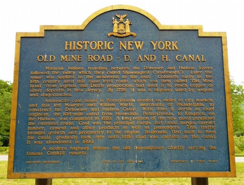
Old Mine Road ~ D. and H. Canal
Historic New York
Minisink Indians traveling between the Delaware and Hudson Rivers followed the valley which they called Shawangunk ("southward"). Later the name was applied to the mountains to the east. Colonists early in the 18th century used this same level route, which was then called "Old Mine Road" from legends that Dutch prospectors had used it to reach copper or silver deposits in New Jersey. By 1756, it was a highway used by wagons and stagecoaches.
Anthracite coal mines in Pennsylvania needed an outlet to city markets, and this led Maurice and William Wurts, merchants of Philadelphia, to construct the Delaware and Hudson Canal. With John B. Jervis as chief engineer, the 108-mile canal from Honesdale, Pennsylvania, to Kingston, on the Hudson, was completed in 1828. A long section of the new canal paralleled the overland route. Coal was principal cargo, but canal barges carried lumber, cement and other products as well as passengers. This traffic brought growth and prosperity to the region. Railroads, first built to feed the canal, gradually took over until little coal was carried on the canal. It was abandoned in 1899.
A modern highway follows the old thoroughfare chiefly serving the famous Catskill resorts.
Erected 1966 by State of New York Education Department and Department of Public Works.
Topics. This historical marker is listed in these topic lists: Industry & Commerce • Roads & Vehicles • Waterways & Vessels. A significant historical year for this entry is 1756.
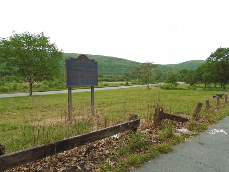
Location. 41° 36.326′ N, 74° 27.448′ W. Marker is near Wurtsboro, New York, in Sullivan County. Marker is on U.S. 209, 0.1 miles north of the N end of the Wurtsboro-Sullivan County Airport, on the left when traveling north. Marker is at a roadside rest area on the west side of the highway. Touch for map. Marker is in this post office area: Wurtsboro NY 12790, United States of America. Touch for directions.
Other nearby markers. At least 8 other markers are within 2 miles of this marker, measured as the crow flies. Michel Helm (within shouting distance of this marker); Fort Devens (approx. 0.7 miles away); O&W & Summitville Station (approx. one mile away); The Canal & the Railroad (approx. one mile away); History of the Canal (approx. 1.8 miles away); Towpath (approx. 1.9 miles away); Boothroyd House (approx. 1.9 miles away); Life on the Canal (approx. 1.9 miles away). Touch for a list and map of all markers in Wurtsboro.
Also see . . .
1. D & H Canal. National Park service website entry (Submitted on June 8, 2018, by William Fischer, Jr. of Scranton, Pennsylvania.)
2. D & H Canal History. D&H Canal Historical Society website entry (Submitted on June 8, 2018, by William Fischer, Jr. of Scranton, Pennsylvania.)
3. History Along the D & H Heritage Corridor. D & H Heritage Corridor Alliance website entry (Submitted on June 8, 2018, by William Fischer, Jr. of Scranton, Pennsylvania.)
4. Touring Old Mine Road: The Esopus-Minisink Trail. New York Almanack website entry (Submitted on June 8, 2018, by William Fischer, Jr. of Scranton, Pennsylvania.)
Credits. This page was last revised on December 22, 2021. It was originally submitted on June 8, 2018, by William Fischer, Jr. of Scranton, Pennsylvania. This page has been viewed 320 times since then and 102 times this year. Photos: 1, 2. submitted on June 8, 2018, by William Fischer, Jr. of Scranton, Pennsylvania.

