La Cañada Flintridge in Los Angeles County, California — The American West (Pacific Coastal)
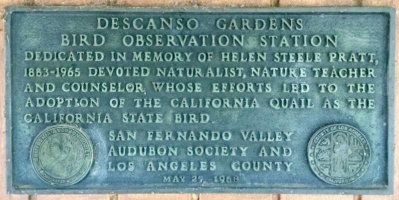
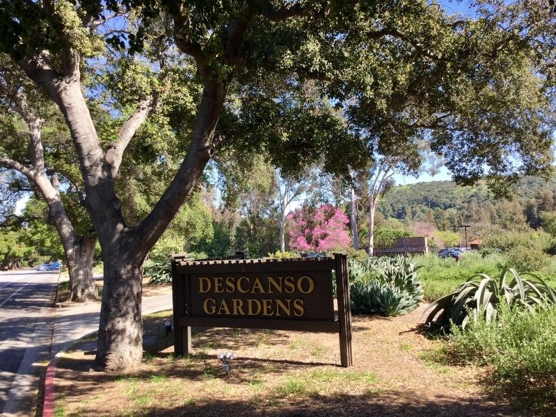
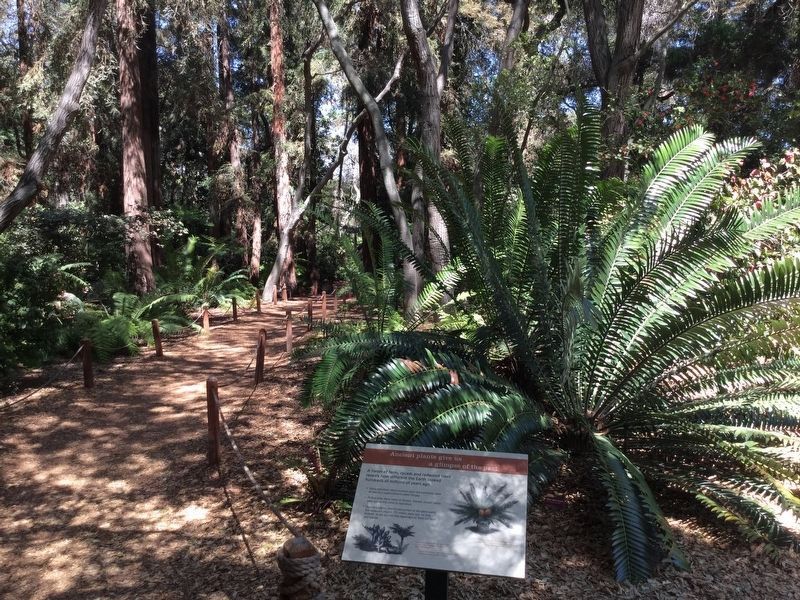
Descanso Gardens
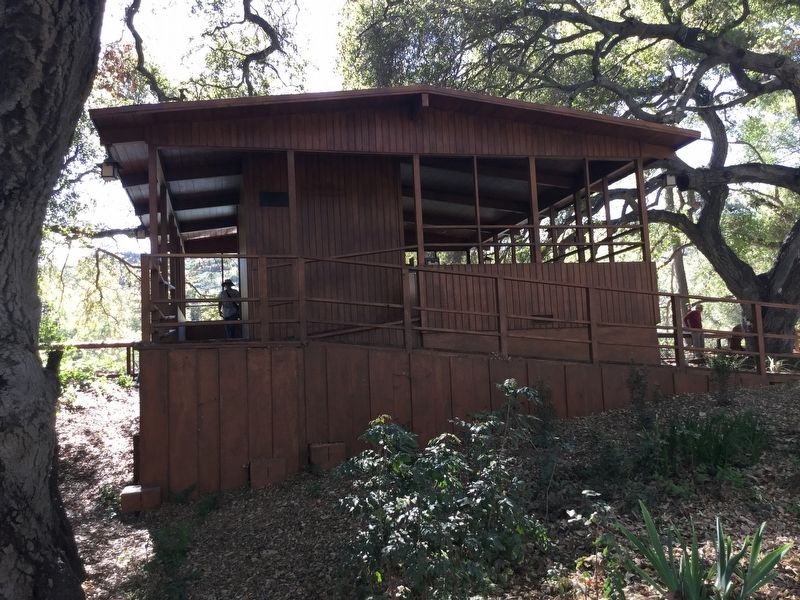
Bird Observation Station
Erected 1968 by San Fernando Valley Audubon Society, and Los Angeles County.
Topics. This historical marker is listed in these topic lists: Horticulture & Forestry • Parks & Recreational Areas.
Location. 34° 12.086′ N, 118° 12.79′ W. Marker is in La Cañada Flintridge, California, in Los Angeles County. Marker can be reached from Descanso Drive south of Verdugo Boulevard, on the right when traveling south. Marker is located inside the park, open daily 9-5. Touch for map. Marker is at or near this postal address: 1418 Descanso Drive, La Canada Flintridge CA 91011, United States of America. Touch for directions.
Other nearby markers. At least 8 other markers are within 2 miles of this marker, measured as the crow flies. A different marker also named Descanso Gardens (approx. ¼ mile away); Lanterman House (approx. half a mile away); Montrose Vietnam War Memorial (approx. 0.9 miles away); National Flag Week (approx. 0.9 miles away); The Crescenta-Cañada Valley (approx. 0.9 miles away); The Great Flood of 1934 (approx. 1½ miles away); San Rafael Rancho (approx. 1.8 miles away); Bonetto House (approx. 1.8 miles away). Touch for a list and map of all markers in La Cañada Flintridge.
Also see . . . Descanso Gardens Website. History, admission tickets, gardens map, etc. (Submitted on June 5, 2018.)
Credits. This page was last revised on February 7, 2023. It was originally submitted on June 5, 2018, by Craig Baker of Sylmar, California. This page has been viewed 544 times since then and 70 times this year. Last updated on June 8, 2018, by Craig Baker of Sylmar, California. Photos: 1, 2, 3, 4, 5, 6. submitted on June 5, 2018, by Craig Baker of Sylmar, California. • Bill Pfingsten was the editor who published this page.
