Islington in Greater London, England, United Kingdom — Northwestern Europe (the British Isles)
Regentís Canal
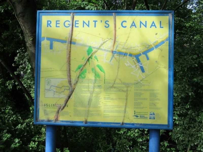
Regentís Canal † Islington
Maiden Lane Bridge to Sturts Lock
History
The eight and a half mile long Regentís Canal was planned by Thomas Homer, a local businessman who saw the potential of a new waterway to link the Grand Junction Canal at Paddington with docks to the east. The canal was designed and built in collaboration with the famous architect, John Nash.
Nash planned the canal to encircle another of his projects – the newly completed Regentís Park – and as a friend of the Prince Regent obtained the Princeís permission to name the canal after him. In 1812 the Regentís Canal Act was passed, and a company formed to build the canal with James Morgan as the engineer appointed by Nash.
From the start, the canal was a great success. After the ceremonial opening on 1 August 1820, companies rushed to occupy the canalside wharves. By 1840, Thomas Pickford Limited of City Road Basin had the largest boat fleet on the canal, with some 120 craft and as many horses to pull them.
However, competition from the railway was looming, and in 1837 Londonís first mainline railway station was opened at Euston. For a while, the two transport systems worked side by side, and many of the building materials for the new north London rail termini were carried by canal.
Gradually the faster railways attracted commercial traffic away from the canal, although the canal company cut toll charges and strengthened the boat fleets in a valiant attempt to compete. Starved of funds, the Regentís Canal finally foundered as a commercial trade route when munitions traffic ceased after World War II. The government nationalised rail, road and canal transport in 1948, and set up the British Transport Commission to administer them all.
In 1963, British Waterways took over the running of the inland waterways system, and canals have since become widely used for a variety of recreational and leisure activities. In London, the Boroughs work together with British Waterways to provide a historic and interesting canalside walkway through London for all to enjoy.
Wildlife
The Regentís Canal is home to a great variety of plants and animals, as the peaceful environment offers a natural highway for seed dispersal or migration in the built-up city.
Grass, scrub and woodlands habitats along the canal bank and towing path shelter small animals, insects and birds; canal walls and shallow edges are ideal for marsh and water plants; and a variety of invertebrates and fish live in the deeper water.
Places of interest
Chapel Market
A traditional London market with its mixture of foodstuffs and other wares. Closed Monday all day, and Thursday and Sunday in the afternoons.
Camden Passage
One of Londonís most interesting and best known antique markets. Open Wednesdays and Saturdays until 3pm only.
Islington Tunnel
Here you leave the towing path and follow cast iron plaques set in the pavement to rejoin the path beyond the tunnel.
Walking route over tunnel
Local pubs
Towing path
Total length just under 1 ½ miles, of which about ½ mile is tunnel with no pedestrian access.
Access points
Advice
Swimming is not allowed as the water is deep and dangerous
Cyclists must have a permit from British Waterways (see below)
No motorbikes allowed
Anglers can buy day tickets from patrolling bailiffs except: where therer are permanent boat moorings; at Camden Lock and surrounding area; and between Camden and Hawley locks.
Opening times
Towing path gates are normally open every day during daylight hours.
Topics. This historical marker is listed in these topic lists: Environment • Industry & Commerce • Waterways & Vessels.
Location. 51° 31.98′ N, 0° 6.181′ W. Marker is in Islington, England, in Greater London. Marker is at the intersection of Colebrooke Row and Vincent Terrace, on the
right when traveling north on Colebrooke Row. Touch for map. Marker is in this post office area: Islington, England N1 8AP, United Kingdom. Touch for directions.
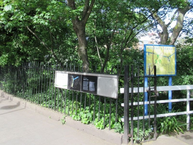
Other nearby markers. At least 8 other markers are within walking distance of this marker. A different marker also named Regents Canal (here, next to this marker); Duncan Terrace Gardens (within shouting distance of this marker); The York (about 150 meters away, measured in a direct line); William Nicholson (about 150 meters away); Sir Hugh Myddelton (approx. 0.3 kilometers away); Finsbury War Memorial (approx. 0.6 kilometers away); Dadabhai Naoroji (approx. 0.8 kilometers away); Holy Trinity Hoxton War Memorial (approx. 0.8 kilometers away). Touch for a list and map of all markers in Islington.
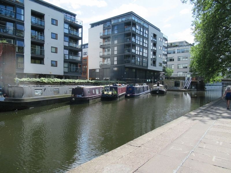
More about this marker. Next to the canal, beneath the marker is the Islington Canal Tunnel
Also see . . .
1. Regentís Canal on Wikipedia. (Submitted on June 13, 2018, by Michael Herrick of Southbury, Connecticut.)
2. Islington Tunnel on Wikipedia. (Submitted on June 13, 2018, by Michael Herrick of Southbury, Connecticut.)
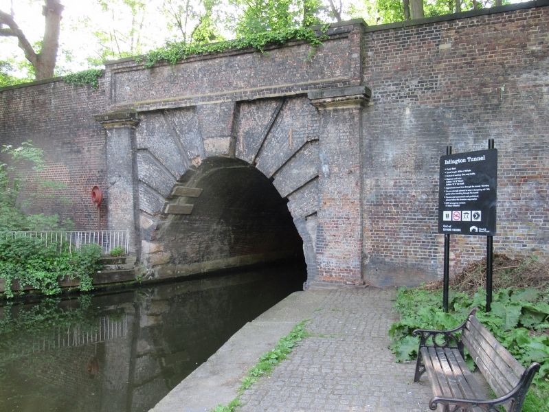
Photographed By Michael Herrick, May 9, 2018
5. Islington Tunnel
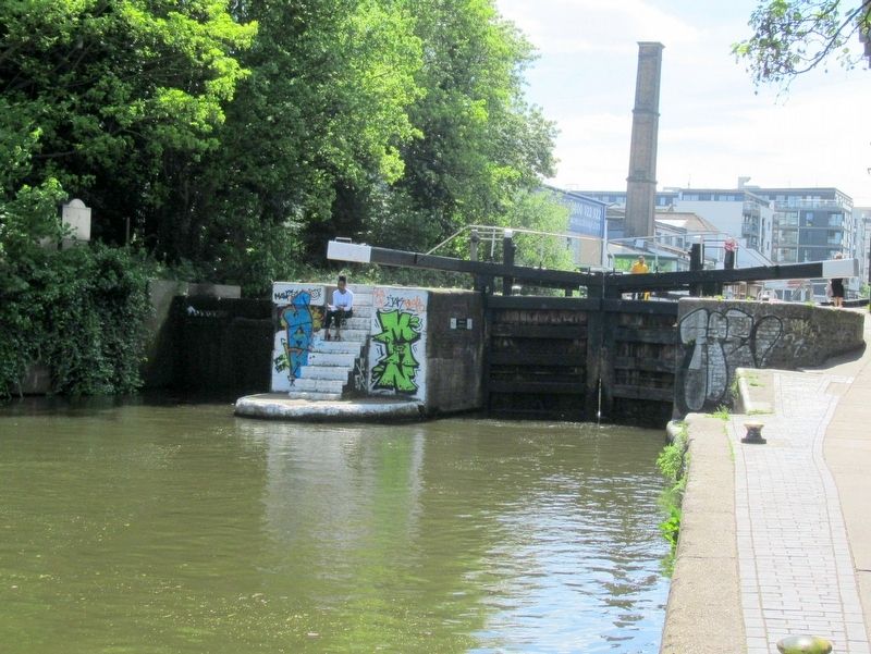
Completed in 1820, the tunnel is 960 yards long. There was no towpath for horses in the tunnel. Horses were untied from the boat and led up a ramp to the tunnelís other end. Barges originally had to be “legged” by watermen lying on the deck and “walking the tunnel”. In 1826 it was upgraded with a steam tug attached to a continuous chain on the canal bed which would heave barges through. This remained for over one hundred years until the 1930s, when it was replaced with a diesel engine, which is no longer in use. It not possible to walk or cycle through the tunnel.
Credits. This page was last revised on January 27, 2022. It was originally submitted on June 13, 2018, by Michael Herrick of Southbury, Connecticut. This page has been viewed 113 times since then and 7 times this year. Photos: 1, 2, 3, 4, 5. submitted on June 13, 2018, by Michael Herrick of Southbury, Connecticut.
