Fool Chief's Village
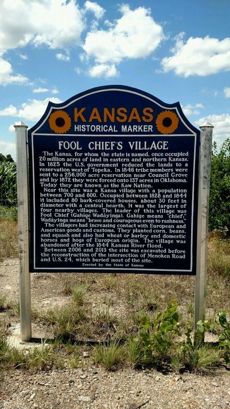
Near this site was a Kansa village with a population between 700 and 800. Occupied between 1828 and 1844 it included 80 bark-covered houses, about 30 feet in diameter with a central hearth. It was the largest of four nearby villages. The leader of this village was Fool Chief (Gahíge Wadáyinga). Gahíge means “chief;” Wadáyinga means "brave and courageous even to rashness."
The villagers had increasing contact with European and American goods and customs. They planted corn, beans, and squash and also had wheat or barley and domestic horses and hogs of European origin. The village was abandoned after the 1844 Kansas River flood.
Between 2006 and 2013 the site was excavated before the reconstruction of the intersection of Menoken Road and U.S. 24, which buried most of the site.
Erected 2014 by The State of Kansas. (Marker Number 120.)
Topics. This historical marker is listed in these topic
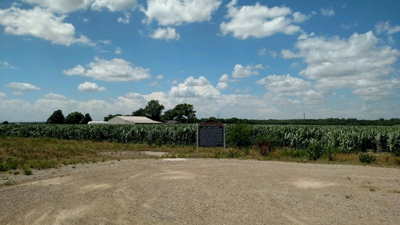
Location. 39° 5.556′ N, 95° 44.933′ W. Marker is in Topeka, Kansas, in Shawnee County. Marker is at the intersection of NW Menokin Road and U.S. 24 on NW Menokin Road. Touch for map. Marker is in this post office area: Topeka KS 66618, United States of America. Touch for directions.
Other nearby markers. At least 8 other markers are within 3 miles of this marker, measured as the crow flies. Mission Kitchen Garden (approx. 2.9 miles away); Potawatomie Baptist Manual Labor Training School (approx. 2.9 miles away); Trails across Kansas (approx. 2.9 miles away); Sioux Quartzite Boulder (approx. 2.9 miles away); The Munn Pioneer Memorial (approx. 3 miles away); V. F. W. Lawn (approx. 3.1 miles away); Topeka Chapter, The Military Order of the World Wars (approx. 3.1 miles away); Kansas Army and Air National Guard (approx. 3.1 miles away). Touch for a list and map of all markers in Topeka.
Also see . . . Kaw Mission State Historic Site: An Intersection of Cultures. (Submitted on June 18, 2018, by William Fischer, Jr. of Scranton, Pennsylvania.)
Credits. This page was last revised on June 18, 2018. It was originally submitted on June 18, 2018, by Mike Wintermantel of Pittsburgh, Pennsylvania. This page has been viewed 291 times since then and 33 times this year. Last updated on June 18, 2018, by Tim Fillmon of Webster, Florida. Photos: 1, 2. submitted on June 18, 2018, by Mike Wintermantel of Pittsburgh, Pennsylvania. • Andrew Ruppenstein was the editor who published this page.

