Fort Stanton in Lincoln County, New Mexico — The American Mountains (Southwest)
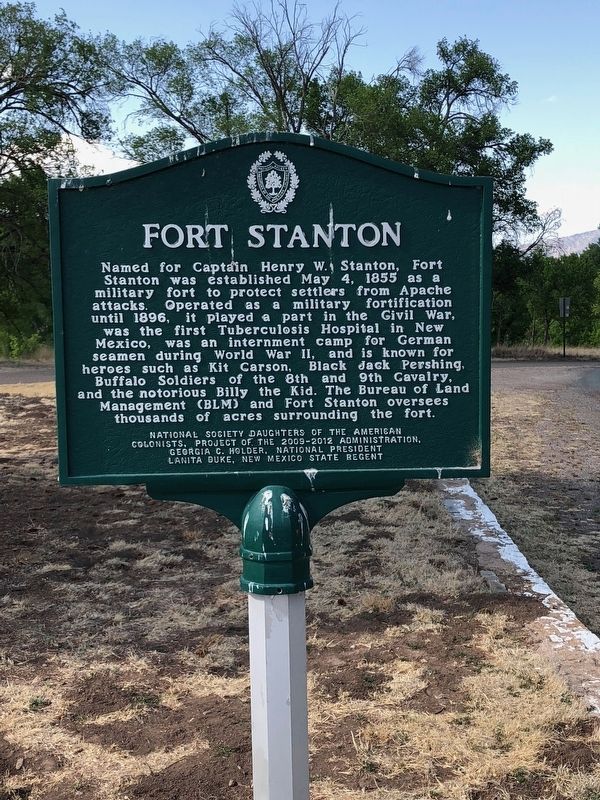
Fort Stanton
Erected by National Society Daughters of the American Colonists.
Topics and series. This historical marker is listed in these topic lists: Forts and Castles • Science & Medicine • War, US Civil • War, World II. In addition, it is included in the Daughters of the American Colonists series list. A significant historical date for this entry is May 4, 1855.
Location. 33° 29.774′ N, 105° 31.477′ W. Marker is in Fort Stanton, New Mexico, in Lincoln County. Marker is at the intersection of Billy the Kid Trail (State Highway 220) and Black Jack Pershing Road, on the right when traveling west on Billy the Kid Trail. Touch for map. Marker is at or near this postal address: 100 Black Jack Pershing Road, Fort Stanton NM 88323, United States of America. Touch for directions.
Other nearby markers. At least 8 other markers are within walking distance of this marker. A different marker also named Fort Stanton (a few steps from this marker); a different marker also named Fort Stanton (within shouting distance of this marker); Stables and Corrals (about 300 feet away, measured in a direct line); Buildings 17 - 20 (about 600 feet away); Officer’s Quarters (about 700 feet away); Community House (about 700 feet away); Fort Stanton Medical Center (about 700 feet away); Chapel (about 700 feet away). Touch for a list and map of all markers in Fort Stanton.
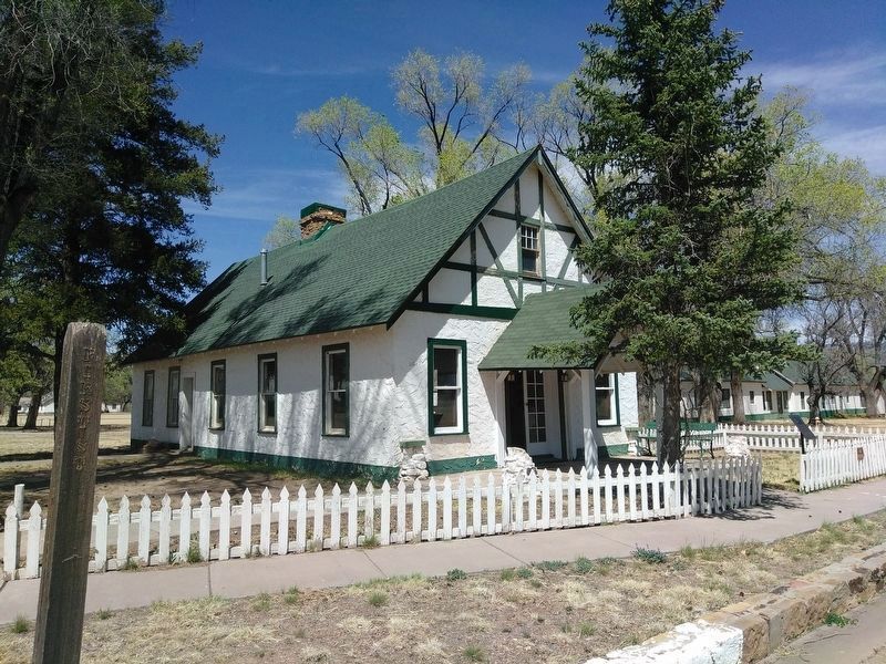
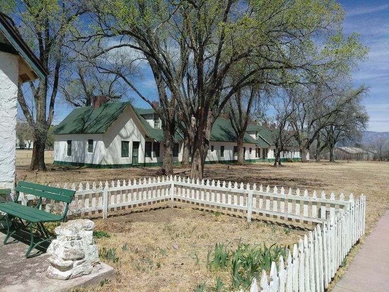
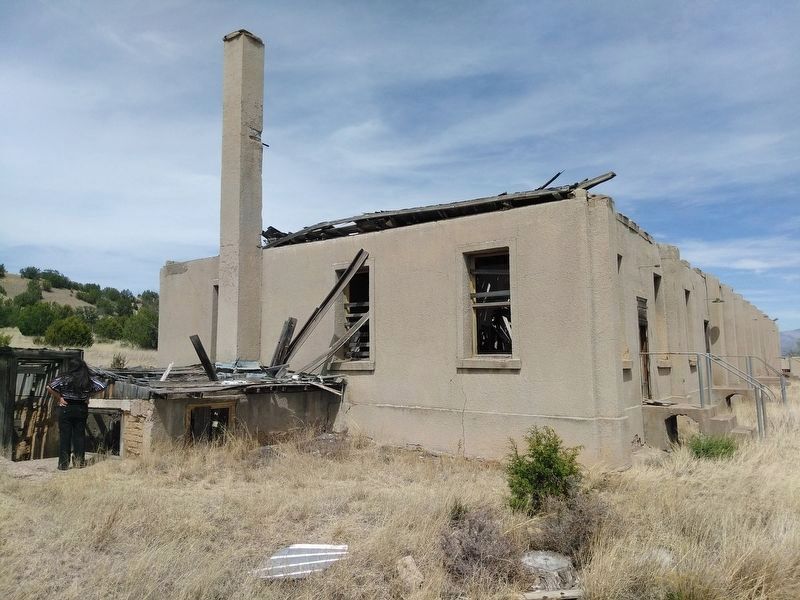
Credits. This page was last revised on May 4, 2020. It was originally submitted on June 29, 2018, by Brian Anderson of Humble, Texas. This page has been viewed 261 times since then and 18 times this year. Photos: 1. submitted on June 29, 2018, by Brian Anderson of Humble, Texas. 2, 3, 4. submitted on May 3, 2020, by Heinz Landeck of El Paso, Texas. • Syd Whittle was the editor who published this page.
Editor’s want-list for this marker. Wide area view of the marker and its surroundings. • Can you help?


