Near Beverly in Washington County, Ohio — The American Midwest (Great Lakes)
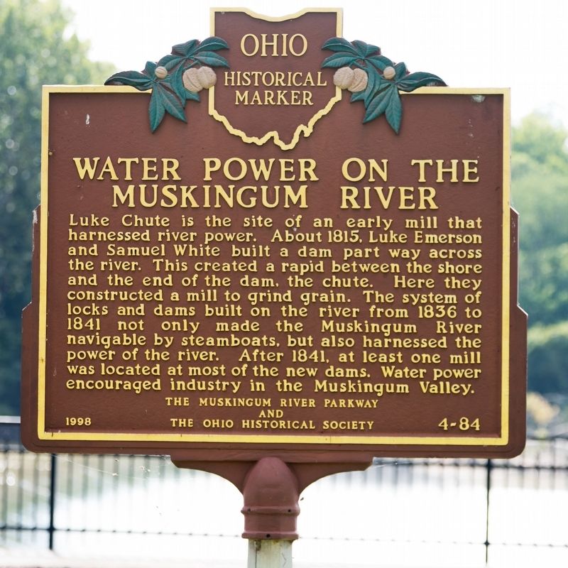
Water Power on the Muskingum River
Erected 1998 by The Muskingum River Parkway and The Ohio Historical Society. (Marker Number 4-84.)
Topics and series. This historical marker is listed in these topic lists: Industry & Commerce • Waterways & Vessels. In addition, it is included in the Ohio Historical Society / The Ohio History Connection series list. A significant historical year for this entry is 1815.
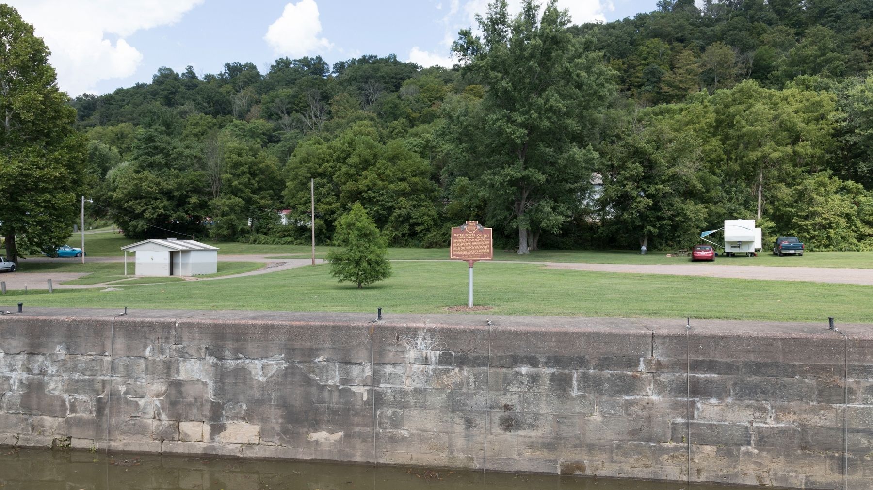
Location. 39° 32.225′ N, 81° 43.256′ W. Marker is near Beverly, Ohio, in Washington County. Marker is on Luke Chute Road (Local Route 649) south of Milner Road (Route 102), on the right when traveling south. It is at the Muskingum River Lock and Dam Number Five, about 6 miles from Beverly.
From Beverly take State Route 339 south and make the first right after crossing the Muskingum River onto Milner Road (County Route 32/102). Route 102 turns left 0.7 miles later and keeps the Milner Road Name. Continue on Milner Road for 4 miles to a left on Luke Chute Road. The State Park is 1.2 miles away at the end of Luke Chute Road.
There is no charge to visit the park. Touch for map. Marker is in this post office area: Beverly OH 45715, United States of America. Touch for directions.
Other nearby markers. At least 8 other markers are within 5 miles of this marker, measured as the crow flies. Big Bottom Massacre (approx. 3.2 miles away); Two Riverboat Pilots (approx. 3.7 miles away); Underground Railroad (approx. 3.8 miles away); The Stockport Mill (approx. 3.8 miles away); Stockport (approx. 3.8 miles away); Brick Church and Cemetery (approx. 3.8 miles away); The Peninsula (approx. 4.2 miles away); The Buckeye Belle Explosion (approx. 4.2 miles away).
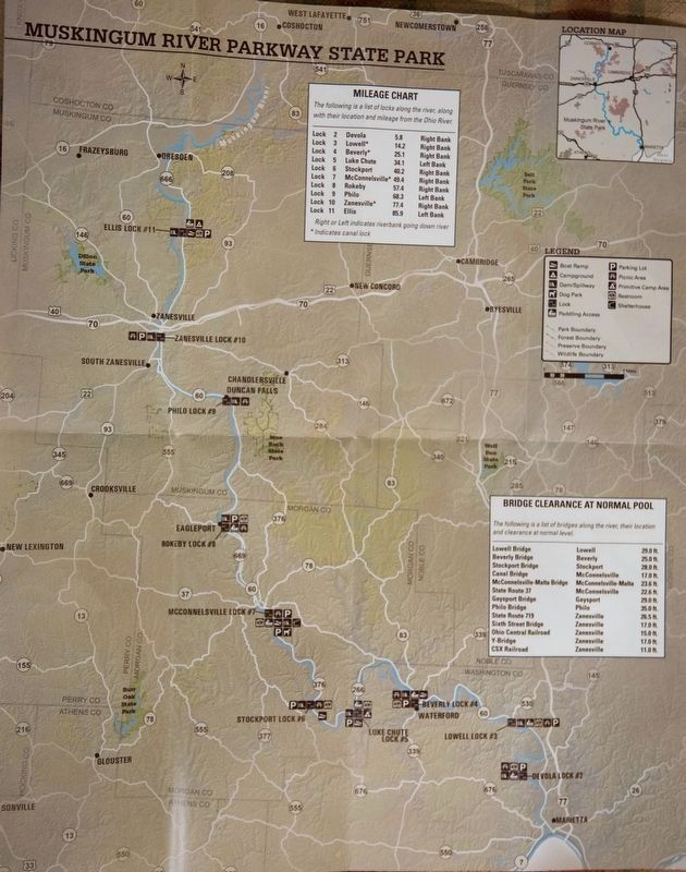
Regarding Water Power on the Muskingum River. This dam and lock is part of the Muskingum River Parkway State Park, a 90 mile long navigable portion of the river from Marietta to Dresden. Click on the map link above in the Location section, switch to Satellite view, and zoom in for a very clear aerial view of the lock and dam.
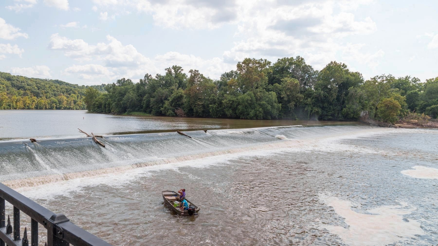
Also see . . . What’s in a Name: The history of Luke Chute. 2013 article in The Marietta Times. “According to a collection of articles from the Washington County Historical Society’s Tallow Light publication, sometime around 1815, Samuel White and Luke Emerson — that’s right, Luke — built a mill in Windsor Township on the Morgan County side of the river. To power it, they constructed a partial dam over the river. A historical marker at the lock says this “created a rapid between the shore and the end of the dam, the chute.” According to a brochure for the Muskingum River Water Trail, this made it difficult for local rivermen to push their boats through and they christened the site ‘Luke Chute’ out of spite.” (Submitted on August 16, 2018.)
Photographed By J. J. Prats, August 12, 2018
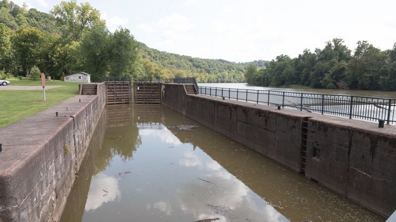
4. Muskingum River Lock Number Five
Unlike narrow locks on cargo-only canals like the Erie Canal or the Chesapeake and Ohio Canal, these locks were built for large self-propelled river steam boats. With these locks the Muskingum river was navigable for 90 miles from Marietta on the Ohio River to Dresden, where the Ohio and Erie Canal connected with mule-drawn boats to Lake Erie.
Credits. This page was last revised on August 16, 2018. It was originally submitted on August 16, 2018, by J. J. Prats of Powell, Ohio. This page has been viewed 318 times since then and 24 times this year. Photos: 1, 2, 3, 4, 5. submitted on August 16, 2018, by J. J. Prats of Powell, Ohio.
