West Point in Hardin County, Kentucky — The American South (East South Central)
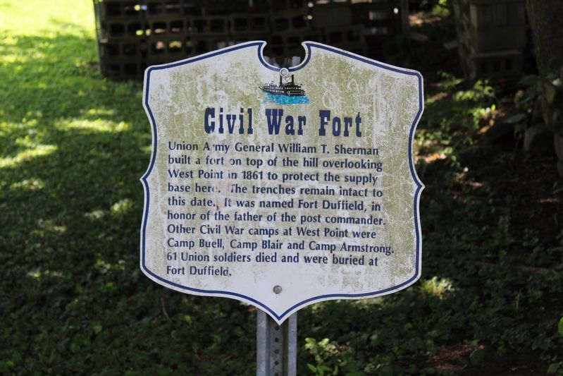
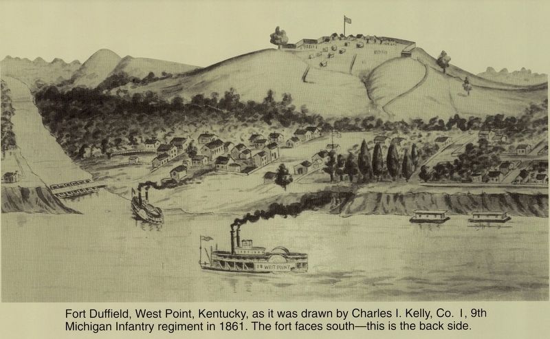
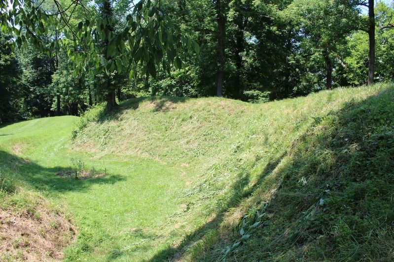
Civil War Fort
Topics and series. This historical marker is listed in these topic lists: Cemeteries & Burial Sites • Forts and Castles • War, US Civil. In addition, it is included in the Kentucky, City of West Point series list. A significant historical year for this entry is 1861.
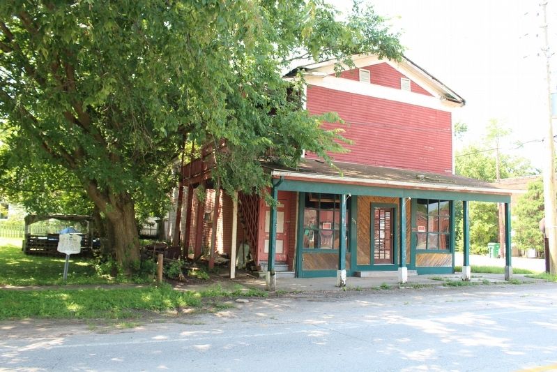
Location. 37° 59.935′ N, 85° 56.864′ W. Marker is in West Point, Kentucky, in Hardin County. Marker is at the intersection of Main Street (Kentucky Route 835) and South 6th Street, on the left when traveling west on Main Street. Touch for map. Marker is in this post office area: West Point KY 40177, United States of America. Touch for directions.
Other nearby markers. At least 8 other markers are within walking distance of this marker. The 38th Parallel (about 500 feet away, measured in a direct line); West Point (about 500 feet away); L & N Turnpike (about 500 feet away); Thomas Lincoln's Flatboat Trip (about 600 feet away); Sherman's Headquarters (about 700 feet away); K & I Bank Building (about 700 feet away); Ditto-Lansdale House / Civil War Hospital (about 700 feet away); The Salt Warehouse (approx. 0.2 miles away). Touch for a list and map of all markers in West Point.
Credits. This page was last revised on March 25, 2019. It was originally submitted on August 19, 2018, by Tom Bosse of Jefferson City, Tennessee. This page has been viewed 287 times since then and 17 times this year. Last updated on March 22, 2019, by Bradley Owen of Morgantown, West Virginia. Photos: 1, 2, 3, 4, 5, 6. submitted on August 19, 2018, by Tom Bosse of Jefferson City, Tennessee. • Andrew Ruppenstein was the editor who published this page.
