Fairdealing in Marshall County, Kentucky — The American South (East South Central)
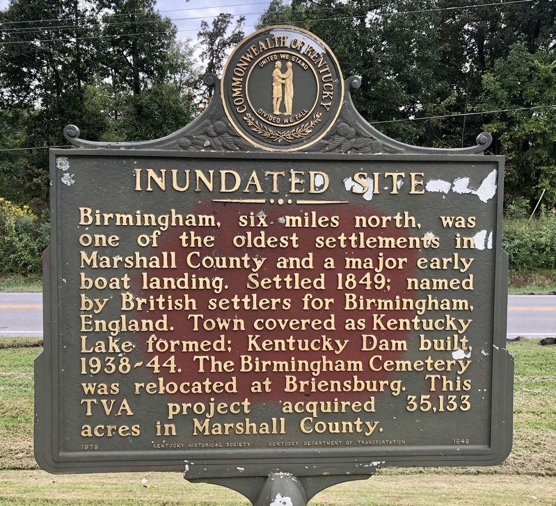
Inundated Site
Erected 1979 by the Kentucky Historical Society Kentucky Department of Highways. (Marker Number 1648.)
Topics and series. This historical marker is listed in these topic lists: Cemeteries & Burial Sites • Settlements & Settlers • Waterways & Vessels. In addition, it is included in the Kentucky Historical Society series list. A significant historical year for this entry is 1849.
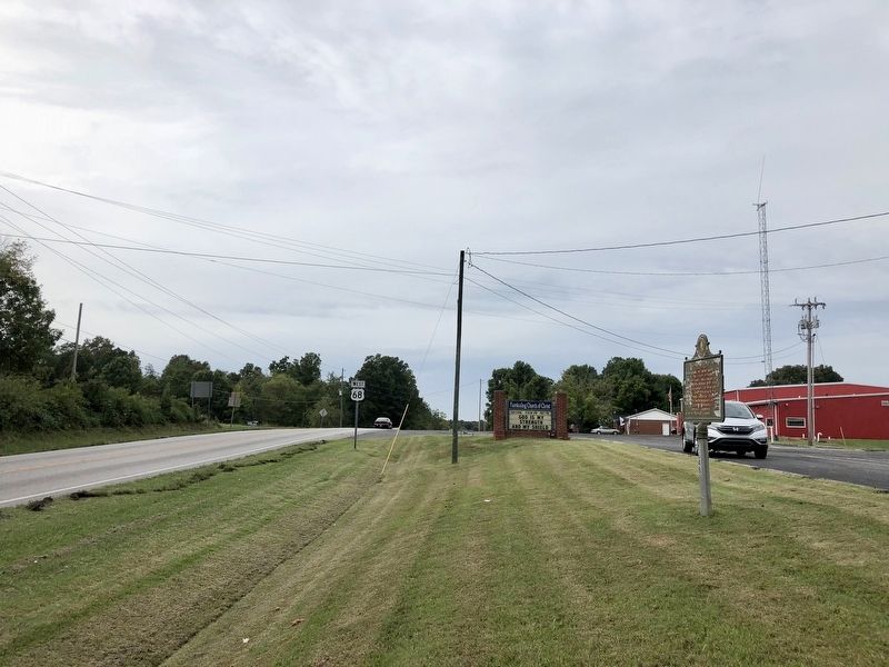
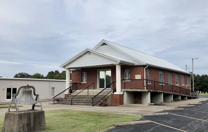
Location. 36° 50.829′ N, 88° 14.425′ W. Marker is in Fairdealing, Kentucky, in Marshall County. Marker is on U.S. 68 north of Barge Island Road (State Route 962), on the right when traveling north. Located in front of the Fairdealing Church of Christ. Touch for map. Marker is at or near this postal address: 8081 US-68, Benton KY 42025, United States of America. Touch for directions.
Other nearby markers. At least 8 other markers are within 7 miles of this marker, measured as the crow flies. Shelby McCallum (approx. 5.4 miles away); Henry H. Lovett, Sr. (approx. 5.9 miles away); Civil War Action (approx. 6.1 miles away); County Named, 1842 (approx. 6.1 miles away); James R. Lemon (1848-1919) (approx. 6.1 miles away); Benton County Vietnam Conflict Memorial (approx. 6.1 miles away); Kentucky Writer (approx. 6.1 miles away); Marshall County Civil War Cannon (approx. 6.1 miles away).
Also see . . . Wikipedia article on Birmingham, Kentucky. (Submitted on September 22, 2018, by Mark Hilton of Montgomery, Alabama.)
Credits. This page was last revised on September 22, 2018. It was originally submitted on September 22, 2018, by Mark Hilton of Montgomery, Alabama. This page has been viewed 291 times since then and 46 times this year. Photos: 1, 2, 3. submitted on September 22, 2018, by Mark Hilton of Montgomery, Alabama.


