Near Algonac in St. Clair County, Michigan — The American Midwest (Great Lakes)
St. Clair River Habitat Restoration
Marine City Drain Habitat Restoration
Inscription.
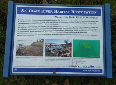
The St. Clair River is part of the connecting channels between Lake Huron and Lake Erie. It is a 40 mile strait that flows south from Lake Huron to Lake St. Clair. The river serves as a navigational passage as well as an ecosystem for a great diversity of fish and wildlife. Over the past century, critical habitat has been lost due to urban, industrial and agricultural development.
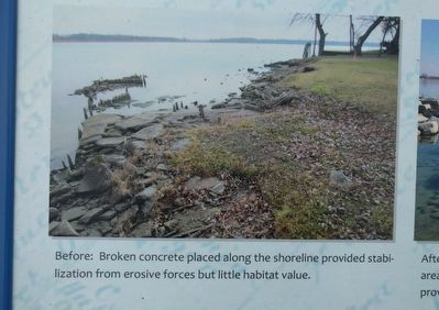
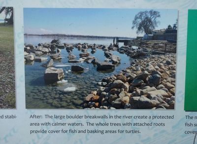
At the confluence of the Marine City Drain and the St. Clair River, the habitat was enhanced by removing old broken concrete along the shoreline and replacing it with cobble for fish habitat. Break walls were constructed to create an area protected from the high velocity currents and boat wakes of the St. Clair River. Additional rock was placed to add diversity to the water flow which appeals to game fish such as smallmouth bass as well as the small non-game forage fish. Multiple large whole trees placed within the protected area will attract reptiles such as the painted turtle.
The goal of this shoreline restoration is to enhance the habitat and aesthetic value of the St. Clair River while providing opportunities to engage and enjoy this unique environment.
Erected by St. Clair County; Great Lakes Restoration; United States Environmental Protection Agency; Michigan Department of Environmental Quality; Faust Corporation; Michigan Office of the Great Lakes; EA Engineering, Science and Technology, Inc.; St. Clair River Binational Public Advisory Council.
Topics. This historical marker is listed in these topic lists: Environment • Waterways & Vessels.
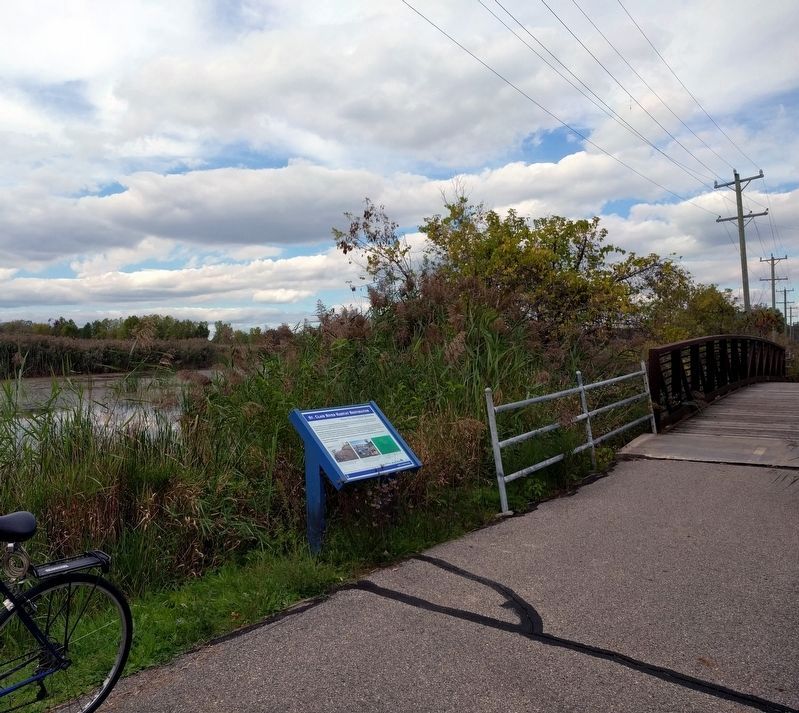
Location. 42° 37.991′ N, 82° 31.198′ W. Marker is near Algonac, Michigan, in St. Clair County. Marker is on the Bridge to Bay Trail, about 0.2 miles north of the intersection of Michigan Street and Sherwood Lane. Touch for map. Marker is in this post office area: Algonac MI 48001, United States of America. Touch for directions.
Other nearby markers. At least 8 other markers are within 4 miles of this marker, measured as the crow flies. Algonac Civil War / Vietnam Memorial (approx. one mile away); Clay Township Library (approx. 1.1 miles away); Saint Andrew's Parish / Saint Andrew's Church (approx. 1.1 miles away); Christopher Columbus Smith / Garfield A. "Gar" Wood (approx. 1.3 miles away); Water Speed Capital (approx. 1.3 miles away); a different marker also named St. Clair River Habitat Restoration (approx. 1.7 miles away); Stewart Farm / Memoir of Aura Stewart (approx. 3.1 miles away); Harsen House (approx. 3.2 miles away). Touch for a list and map of all markers in Algonac.
Credits. This page was last revised on December 8, 2020. It was originally submitted on October 1, 2018, by Joel Seewald of Madison Heights, Michigan. This page has been viewed 177 times since then and 13 times this year. Photos: 1, 2, 3, 4, 5. submitted on October 1, 2018, by Joel Seewald of Madison Heights, Michigan.
