Lava Hot Springs in Bannock County, Idaho — The American West (Mountains)
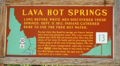
Lava Hot Springs
Except wheen they found hot springs, pre-historic Indians had a hard time getting hot water. The wove watertight baskets into which they put heated rocks. Here they had plenty of hot water for baths and for processing hides without going to all the work of heating baskets. This was one of their major campgrounds, especially in winter. After 1868, when they began to stay mostly on the Fort Hall Indian reservation, this spot lost its importance as a winter camp.
Erected by Idaho Department of Transportation. (Marker Number 13.)
Topics and series. This historical marker is listed in these topic lists: Native Americans • Natural Features. In addition, it is included in the Idaho State Historical Society series list.
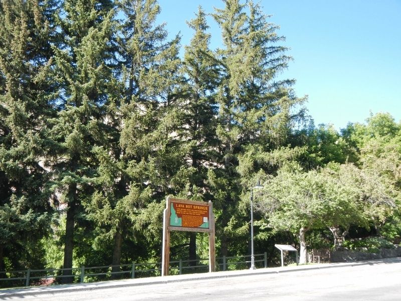
Location. 42° 37.159′ N, 112° 0.349′ W. Marker is in Lava Hot Springs, Idaho, in Bannock County. Marker can be reached from Main Street near U.S. 30, on the right when traveling west. Touch for map. Marker is at or near this postal address: 430 Main Street, Lava Hot Springs ID 83246, United States of America. Touch for directions.
Other nearby markers. At least 8 other markers are within 10 miles of this marker, measured as the crow flies. Lava Hot Springs' healing waters (a few steps from this marker); a different marker also named Lava Hot Springs (about 300 feet away, measured in a direct line); Furs and farms, fire and floods... (approx. ¼ mile away); Lead Bell Mining Company (approx. ¼ mile away); Hudspeth's Cutoff (approx. 4.6 miles away); Chesterfield (approx. 6.8 miles away); Bancroft's First School (approx. 9.3 miles away); Oneida Station (approx. 9½ miles away). Touch for a list and map of all markers in Lava Hot Springs.
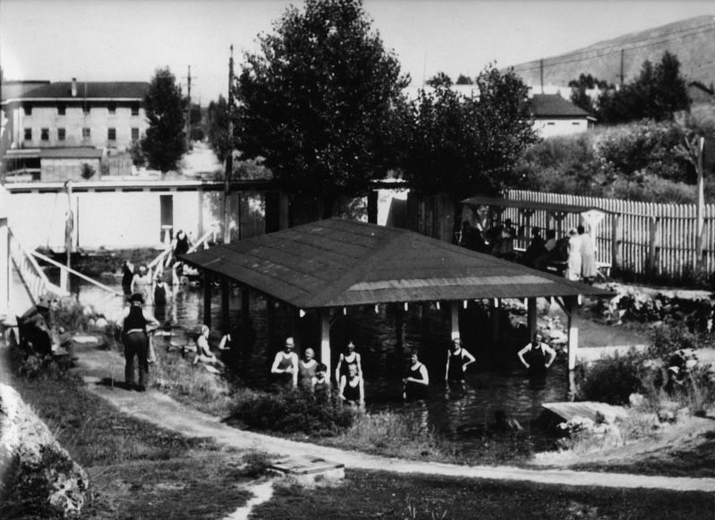
Also see . . . Lava Hot Springs Area History and Photo Slide Show. Once part of the original Fort Hall reservation, the springs and land were part of a treaty agreement between the Indians and the US Government in the late 1800's. The federal government purchased the springs and land, approximately 178 acres including the springs. (Submitted on October 11, 2018, by Barry Swackhamer of Brentwood, California.)
Credits. This page was last revised on October 11, 2018. It was originally submitted on October 11, 2018, by Barry Swackhamer of Brentwood, California. This page has been viewed 560 times since then and 66 times this year. Photos: 1, 2, 3. submitted on October 11, 2018, by Barry Swackhamer of Brentwood, California.


