Ticonderoga in Essex County, New York — The American Northeast (Mid-Atlantic)
The French Lines & Carillon Battlefield
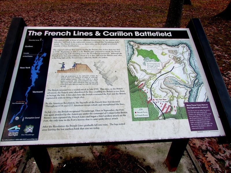
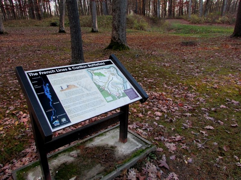
The earthen walls in front of you, called the French Lines, are the remains of a defensive wall built in the eighteenth century to defend Fort Ticonderoga from attack. The French Lines as you see them today are the original un-restored remains of these fortifications.
The original wall was first constructed by the French army in less than two days in 1758. Beginning on July 7 as the British army prepared to attack, the French constructed a log wall stretching across the Ticonderoga peninsula. Although the French army was outnumbered almost 4 to 1, they defeated the British army after a day-long fight at the French Lines called the Battle of Carillon.
The British returned for a second attack in July 1759. This time, as the British advanced, the French army abandoned the lines enabling the British to use them to besiege the fort. A few days later the French evacuated the Fort and the British captured it without firing a single shot.
By the American Revolution, the log walls of the French lines had decayed. Throughout 1776 and 1777 American troops rebuilt and strengthened the lines.
In July 1777, the British recaptured Ticonderoga. Then in September, the Fort was again attacked by the Americans under the command of Colonel John Brown. Brown’s men captured the French Lines and began a brief artillery attack on the Fort, the only time in the fort’s history that it came under direct attack.
After the Revolution the French Lines gradually fell into ruin. The logs rotted away leaving the low earthen bank that you see today.
< Sidebar: >
Under an illustration of a fortification from above and the side
Like all fortifications in the eighteenth century, the French Lines were designed according to well-established military practice. They were built in a zig-zag fashion to provide wide and overlapping lines of fire. This means that soldiers behind the lines (A) were able to fire from many different angles and troops (B) attacking the wall.
Topics. This historical marker is listed in these topic lists: Forts and Castles • War, French and Indian • War, US Revolutionary.
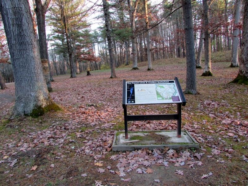
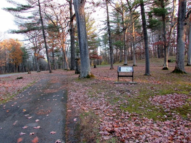
Location. 43° 50.92′ N, 73° 23.625′ W. Marker is in Ticonderoga, New York, in Essex County. Marker is on Sandy Redoubt, on the left when traveling west. Marker is located on the exit road from Fort Ticonderoga. Touch for map. Marker is in this post office area: Ticonderoga NY 12883, United States of America. Touch for directions.
Other nearby markers. At least 8 other markers are within walking distance of this marker. The Carillon Battlefield (a few steps from this marker); “The Black Watch” (within shouting distance of this marker); The French Lines (within shouting distance of
this marker); Near this spot stood Montcalm (about 400 feet away, measured in a direct line); Carillon, July 8-1758 - 1958-13 Juillet (about 400 feet away); Hut Sites (about 600 feet away); George Augustus Viscount Howe (approx. ¼ mile away); a different marker also named “The Black Watch” (approx. ¼ mile away). Touch for a list and map of all markers in Ticonderoga.
More about this marker. A map of Lake Champlain, indicating the location of Fort Ticonderoga, appears on the left side of the marker.
A map on the right side of the marker shows the Fort Ticonderoga region and the positions of British and French forces during the 1758 battle. The French Lines were almost a mile long and are half a mile from Fort Ticonderoga.
Were These Trees Here in the Eighteenth Century?
The forest you see today has grown up since the early nineteenth century. An old-growth forest stood here until July 7-8, 1758, when the French Army cut it down to build the original French Lines. Later, occupying armies kept this area clear cut until after the American Revolution, when it returned to forest.
Also see . . . Account of the battle on the website BritishBattles.com. (Submitted on November 11, 2018, by Bill Coughlin of Woodland Park, New Jersey.)
Additional keywords. The French Lines & Carillon Battlefield
Credits. This page was last revised on November 11, 2018. It was originally submitted on November 11, 2018, by Bill Coughlin of Woodland Park, New Jersey. This page has been viewed 466 times since then and 41 times this year. Photos: 1, 2, 3, 4. submitted on November 11, 2018, by Bill Coughlin of Woodland Park, New Jersey.


