Charlotte in Eaton County, Michigan — The American Midwest (Great Lakes)
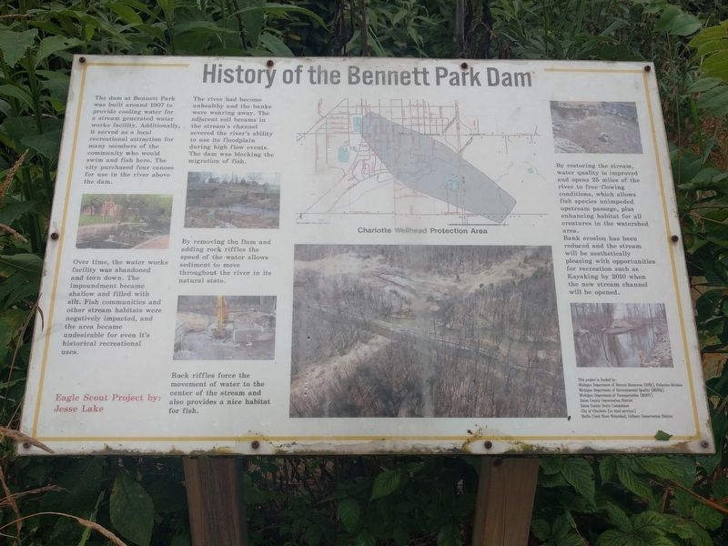
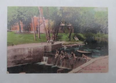
History of the Bennett Park Dam
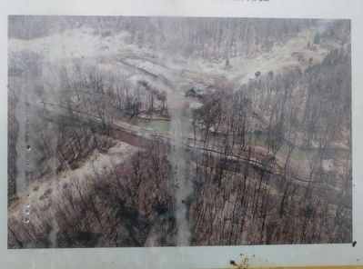
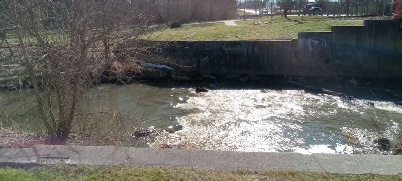
The dam at Bennett Park was built around 1907 to provide cooling water for a stream generated water works facility. Additionally, it served as a local recreational attraction for many members of the community who would swim and fish here. The city purchased four canoes for use in the river above the dam.
Over time, the water works facility was abandoned and torn down. The impoundment became shallow and filled with silt. Fish communities and other stream habitats were negatively impacted, and the area became undesireable for even it's historical recreational uses.
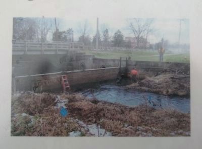
The river had become unhealthy and the banks were wearing away. The adjacent soil breams in the stream's channel severed the river's ability to use its floodplain during high flow events. The dam was blocking the migration of fish.
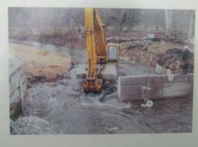
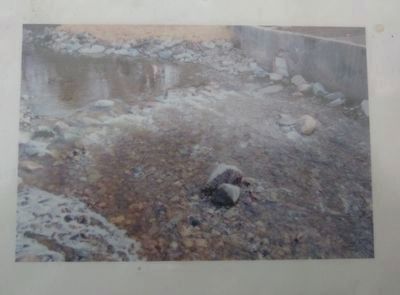
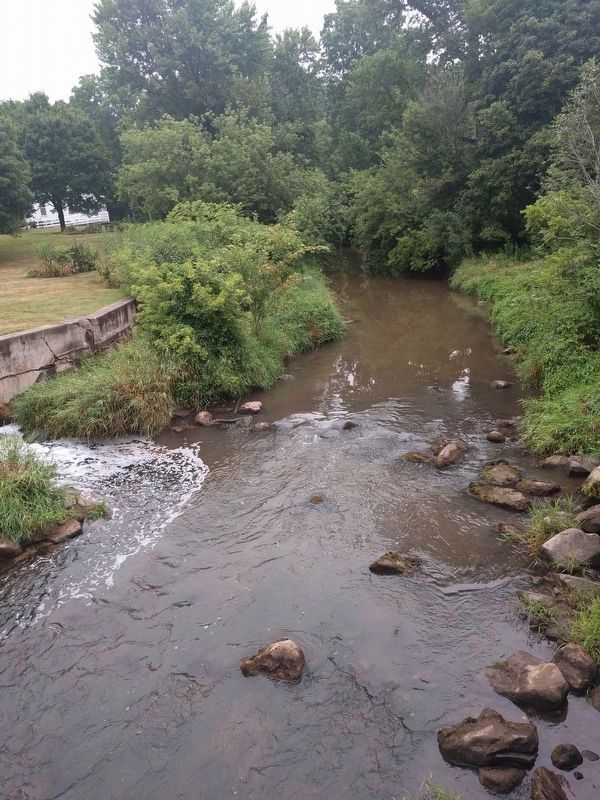
By removing the Dam and adding rock riffles the speed of the water allows sediment to move throughout the river in its natural state.
Rock riffles force the movement of water to the center of the stream and also provides a nice habitat for fish.
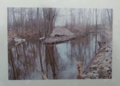
By restoring the stream, water quality is improved and opens 25 miles of the river to free-flowing conditions, which allows fish species unimpeded upstream passage, plus enhancing habitat for all creatures in the watershed area.
Bank erosion has been reduced and the stream will be aesthetically pleasing with opportunities for recreation such as Kayaking by 2010 when the new stream channel will be opened.
Eagle Scout Project by: Jesse Lake
This project is funded by:
Michigan Department of Natural Resources (DNR), Fisheries Division
Michigan Department of Environmental Quality (MDEQ)
Michigan Department of Transportation (MDOT)
Eaton County Conservation District
Eaton County Drain Commission
City of Charlotte (in-kind services)
Battle Creek River Watershed, Calhoun Conservation District
Topics. This historical marker is listed in these topic lists: Parks & Recreational Areas • Waterways & Vessels. A significant historical year for this entry is 1907.
Location. 42° 32.684′ N, 84° 50.141′ W. Marker is in Charlotte, Michigan, in Eaton County. Marker is on Cochran Avenue (Business Interstate 69) 0.1 miles south of Tirrell Street, on the left when traveling south. Marker is in Bennett Park, on the north bank of Battle Creek. Touch for map. Marker is in this post office area: Charlotte MI 48813, United States of America. Touch for directions.
Other nearby markers. At least 8 other markers are within 2 miles of this marker, measured as the crow flies. 1845 Eaton County Courthouse (within shouting distance of this marker); Eaton County's 1845 Courthouse (within shouting distance of this marker); Timberland Grange Memorial (approx. ¼ mile away); Lawrence Avenue Methodist Episcopal Church (approx. 1.3 miles away); First Congregational Church of Charlotte (approx. 1.3 miles away); Eaton County / Eaton County Courthouse Square (approx. 1.3 miles away); Eaton County Civil War Memorial (approx. 1.3 miles away); Charlotte Veterans Memorial (approx. 1.4 miles away). Touch for a list and map of all markers in Charlotte.
Additional commentary.
1. Dam removal
The dam was removed in October 2006.
— Submitted November 12, 2018, by Joel Seewald of Madison Heights, Michigan.
Credits. This page was last revised on March 20, 2023. It was originally submitted on November 12, 2018, by Joel Seewald of Madison Heights, Michigan. This page has been viewed 290 times since then and 53 times this year. Photos: 1, 2, 3, 4, 5, 6, 7, 8, 9. submitted on November 12, 2018, by Joel Seewald of Madison Heights, Michigan. 10. submitted on February 16, 2023, by Craig Doda of Napoleon, Ohio.
