Segovia in Kimble County, Texas — The American South (West South Central)
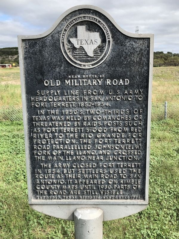
Near Route of Old Military Road
Supply line from U.S. Army headquarters in San Antonio to Fort Terrett, 1852-1854.
In the 1850's two-thirds of Texas was held by Comanches or threatened by raids. Posts such as Fort Terrett stood from Red River to the Rio Grande, for protection. The Fort Terrett Road paralleled Johnson (Elm) Fork of the Llano and crossed the main Llano near Junction.
The army closed Fort Terrett in 1854, but settlers used the route as their main road to San Antonio. It appeared on Kimble County maps until 1930. Parts of the road are still visible.
Recorded Texas Historic Landmark - 1966
Erected 1966 by State Historical Survey Committee. (Marker Number 3545.)
Topics. This historical marker is listed in these topic lists: Roads & Vehicles • Wars, US Indian. A significant historical year for this entry is 1852.
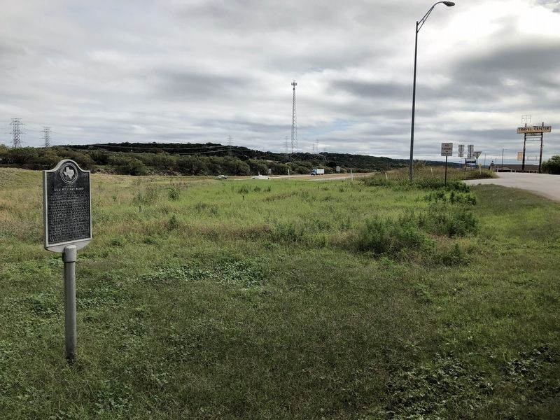
Location. 30° 25.071′ N, 99° 40.32′ W. Marker is in Segovia, Texas, in Kimble County. Marker is on Old Segovia Road (Interstate 10 Frontage Road), on the left when traveling east. Marker is located across the road from the Segovia Truck Stop, overlooking I-10. Touch for map. Marker is at or near this postal address: 465 Old Segovia Road, Junction TX 76849, United States of America. Touch for directions.
Other nearby markers. At least 8 other markers are within 8 miles of this marker, measured as the crow flies. Miller-Browning Colony (approx. 5.4 miles away); Cloud Point (approx. 5.4 miles away); The Oliver Pecan (approx. 6.6 miles away); Little Mexico (approx. 7.1 miles away); Kimble County's First Sawmill (approx. 7.3 miles away); South Llano Crossing (approx. 7.3 miles away); Schreiner Park (approx. 7.3 miles away); Junction's First Waterworks (approx. 7.3 miles away).
Credits. This page was last revised on November 27, 2020. It was originally submitted on November 12, 2018, by Brian Anderson of Humble, Texas. This page has been viewed 235 times since then and 18 times this year. Photos: 1, 2. submitted on November 12, 2018, by Brian Anderson of Humble, Texas. • Andrew Ruppenstein was the editor who published this page.

