Historic District in St. Augustine in St. Johns County, Florida — The American South (South Atlantic)
Engulfed in Flames / Devorada por las llamas
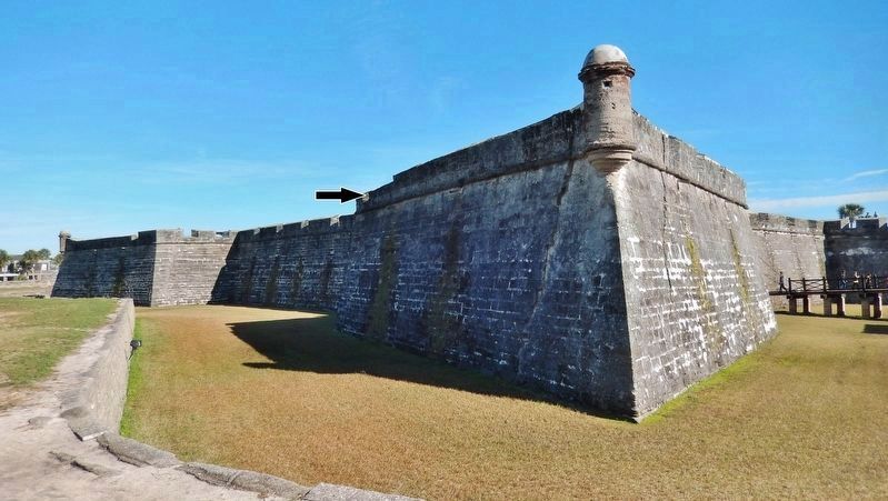
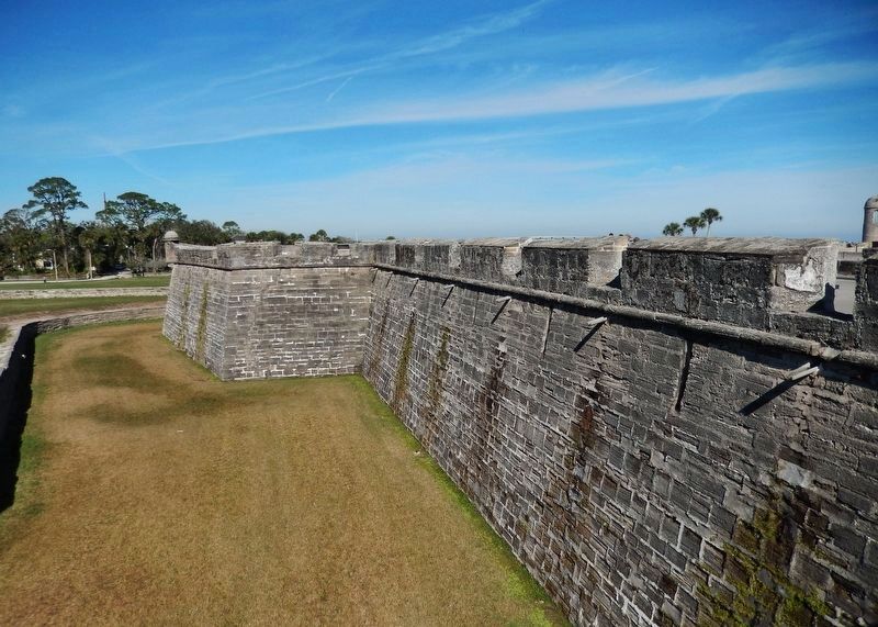
Castillo de San Marcos National Monument
Inscription.
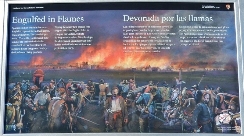
During the nearly two-month-long siege in 1702, the English failed to conquer the Castillo, but left St. Augustine in ashes. After the siege, the determined Spanish rebuilt their homes and added more defenses to protect their town.
Durante un asedio de casi dos meses, los ingleses no lograron conquistar el castillo, pero dejaron San Agustín en cenizas. Después de este asedio, los perseverantes pobladores reconstruyeron sus hogares y añadieron más defensas para proteger su ciudad.
Erected 2018 by National Park Service, U.S. Department of the Interior.
Topics. This historical marker is listed in these topic lists: Colonial Era • Forts and Castles • Notable Events. A significant historical year for this entry is 1702.
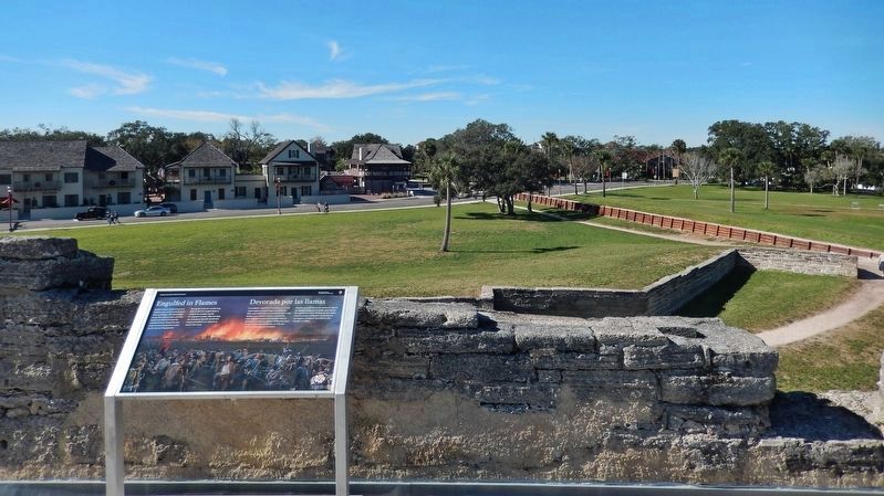
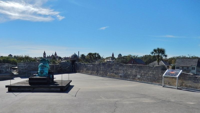
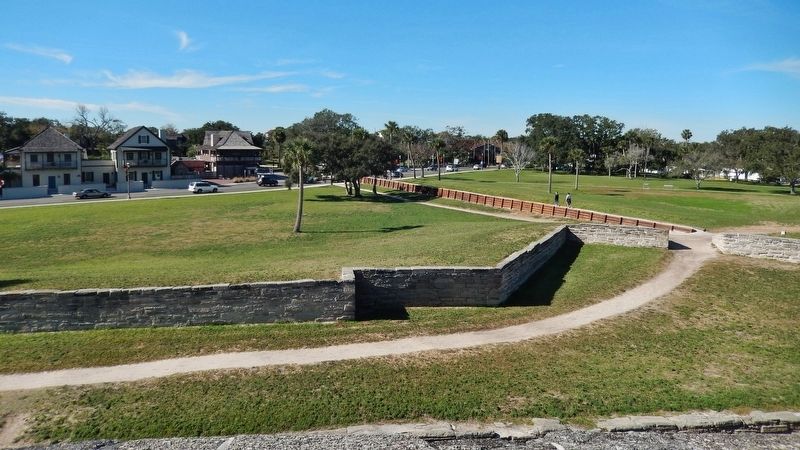
Location. 29° 53.855′ N, 81° 18.714′ W. Marker is in St. Augustine, Florida, in St. Johns County. It is in the Historic District. Marker can be reached from the intersection of South Castillo Drive (Business U.S. 1) and Cuna Street, on the right when traveling north. Marker is located on the Castillo de San Marcos National Monument grounds, atop the fort's San Pedro Bastion, next to the parapet, overlooking St. Augustine city to the west. Touch for map. Marker is at or near this postal address: 1 S Castillo Dr, Saint Augustine FL 32084, United States of America. Touch for directions.
Other nearby markers. At least 8 other markers are within walking distance of this marker. St. Peter's Bastion (a few steps from this marker); Well (within shouting distance of this marker); Weapons of War / Artillería (within shouting distance of this marker); Lines of Defense (within shouting distance of this marker); Defense in Depth / Capas de defensas (within
shouting distance of this marker); Under Continuous Attack / Bajo ataques continuos (within shouting distance of this marker); Ramp (within shouting distance of this marker); Plaza-Courtyard (within shouting distance of this marker). Touch for a list and map of all markers in St. Augustine.
More about this marker. Marker is a large rectangular composite plaque, mounted horizontally on waist-high metal posts.
Related markers. Click here for a list of markers that are related to this marker. Castillo de San Marcos National Monument
Also see . . . The Siege of St. Augustine (1702). At dawn on the 8th of November the English fleet came into view off the mouth of the inlet. All that day and into the next, supplies and equipment were moved into the Castillo as the English fleet moved to blockade the harbor of St. Augustine. On the 9th, with the arrival of Spanish refugees from the surrounding countryside, came word of an English Army moving overland toward the city, speeding up the evacuation. By the 10th, almost 1500 people had taken refuge inside the Castillo. Upon arrival, the English land forces burned the Mission at Nombre de Dios, a few hundred yards north of the fortress. Unable to attack the
Castillo by direct assault, the English surrounded the fort and cut off its supply lines. Digging a series of trenches, the English inched closer to the Castillo, attempting to get their cannon in a position to breach its walls. The Spanish fired constantly on the English to slow their progress. By November 22, the English realized their small cannons were ineffective against the fortress walls. The heaviest fighting of the siege was November 25th, when both sides engaged in a twenty-four hour gun duel that included both sides setting fire to sections of the city to clear lanes for firing. (Submitted on December 15, 2018, by Cosmos Mariner of Cape Canaveral, Florida.)
Credits. This page was last revised on December 23, 2018. It was originally submitted on December 15, 2018, by Cosmos Mariner of Cape Canaveral, Florida. This page has been viewed 197 times since then and 14 times this year. Last updated on December 23, 2018, by Cosmos Mariner of Cape Canaveral, Florida. Photos: 1, 2, 3, 4, 5, 6. submitted on December 15, 2018, by Cosmos Mariner of Cape Canaveral, Florida. • Andrew Ruppenstein was the editor who published this page.
