Historic District in St. Augustine in St. Johns County, Florida — The American South (South Atlantic)
Deadly Crossfire / Fuego Cruzado
Castillo de San Marcos National Monument
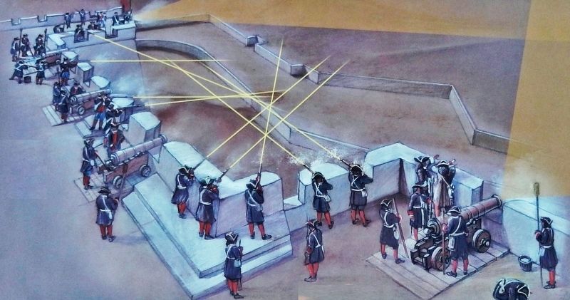
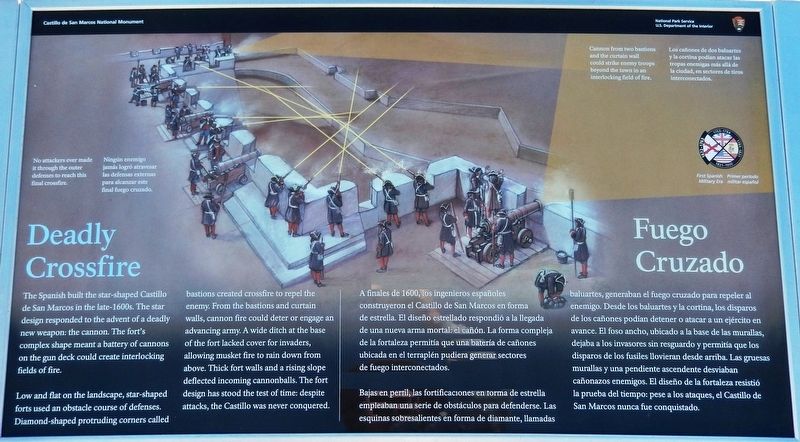
Low and flat on the landscape, star-shaped forts used an obstacle course of defenses. Diamond-shaped protrudíng corners called bastions created crossfire to repel the enemy. From the bastions and curtain walls, cannon fire could deter or engage an advancing army. A wide ditch at the base of the fort lacked cover for invaders, allowing musket fire to rain down from above. Thick fort walls and a rising slope deflected incoming cannonballs. The fort design has stood the test of time: despite attacks, the Castillo was never conquered.
Bajas en perfil, las fortificaciones en forma de estrella empleaban una serie de obstáculos para defenderse. Las esquinas sobresalientes en forma de diamante, llamadas baluartes, generaban el fuego cruzado para repeler al enemigo. Desde los baluartes y la cortina, los disparos de los cañones podían detener o atacar a un ejército en avance. El foso ancho, ubicado a la base de las murallas, dejaba a los invasores sin resguardo y permitía que los disparos de los fusiles llovieran desde arriba. Las gruesas murallas y una pendiente ascendente desviaban cañonazos enemigos. El diseño de la fortaleza resistió la prueba del tiempo: pese a los ataques, el Castillo de San Marcos nunca fue conquistado.
Erected 2018 by National Park Service, U.S. Department of the Interior.
Topics. This historical marker is listed in these topic lists: Colonial Era • Disasters • Forts and Castles • Hispanic Americans.
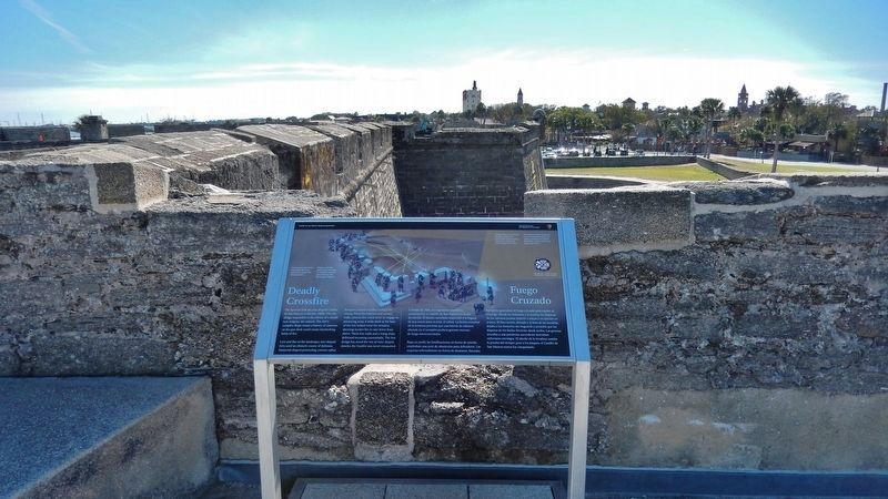
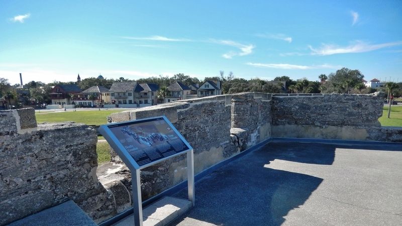
Location. 29° 53.883′ N, 81° 18.711′ W. Marker is in St. Augustine, Florida, in St. Johns County. It is in the Historic District. Marker can be reached from the intersection of South Castillo Drive (Business U.S. 1) and Cuna Street, on the right when traveling north. Marker is located on the Castillo de San Marcos National Monument grounds, on top of the San Pablo Bastion at the northeast corner of the fort, overlooking the fort's

December 12, 2018
2. Marker detail: No attackers ever made it through...
No attackers ever made it through the outer defenses to reach this final crossfire. Cannon from two bastions and the curtain Wall could strike enemy troops beyond the town in an interlocking field of fire.
Ningún enemigo jamás logró atravesar las defensas externas para alcanzar este final fuego cruzado. Los cañones de dos baluartes y la cortina podían atacar las tropas enemigas más allá de la ciudad, en sectores de tiros interconectados.
Ningún enemigo jamás logró atravesar las defensas externas para alcanzar este final fuego cruzado. Los cañones de dos baluartes y la cortina podían atacar las tropas enemigas más allá de la ciudad, en sectores de tiros interconectados.
Other nearby markers. At least 8 other markers are within walking distance of this marker. St. Paul's Bastion (here, next to this marker); The Builders were Human (a few steps from this marker); Lines of Defense (a few steps from this marker); Weapons of War / Artillería (a few steps from this marker); British Quarters (within shouting distance of this marker); Chapel of St. Mark (within shouting distance of this marker); Northern Defense Lines (within shouting distance of this marker); Indian Prisoners (within shouting distance of this marker). Touch for a list and map of all markers in St. Augustine.
More about this marker. Marker is a large rectangular composite plaque, mounted horizontally on waist-high metal posts.
Related markers. Click here for a list of markers that are related to this marker. Castillo de San Marcos National Monument
Also see . . . The Bastion System. The Castillo de San Marcos is unique in North American architecture. As the only extant 17th century military construction in the country and the oldest masonry fortress in the United States it is a prime example of the "bastion system" of fortification, the culmination of hundreds of years of military defense engineering. Originating in Italy in the 15th
century the particular star shaped design of the Castillo is a result of architecture adapting to technology. The change in warfare brought about by black powder weapons created new types of defensive structures adapted both to withstand or avoid the impact of cannon projectiles and to effectively mount cannons to repel any attackers. Of the major architectural variations the "bastion system," named for the projecting diamond or angle shaped formations added onto the fort walls, was the most commonly and effectively used. (Submitted on December 15, 2018, by Cosmos Mariner of Cape Canaveral, Florida.)
Credits. This page was last revised on August 20, 2020. It was originally submitted on December 15, 2018, by Cosmos Mariner of Cape Canaveral, Florida. This page has been viewed 219 times since then and 18 times this year. Last updated on December 23, 2018, by Cosmos Mariner of Cape Canaveral, Florida. Photos: 1, 2, 3, 4. submitted on December 15, 2018, by Cosmos Mariner of Cape Canaveral, Florida. • Andrew Ruppenstein was the editor who published this page.


