Near San Bernardino in San Bernardino County, California — The American West (Pacific Coastal)
Garces-Smith Monument
The Mojave Indian Trail
| — | Monument Peak | — |
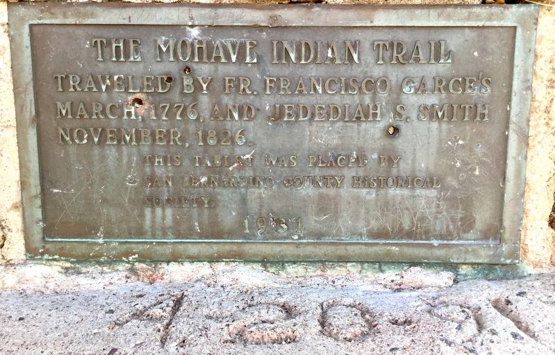
Photographed by Craig Baker, December 24, 2018
1. Garces-Smith Monument
Traveled by Fr. Francisco Garcés, March, 1776, and Jedediah S. Smith, November, 1826.
Erected 1931 by San Bernardino County Historical Society. (Marker Number 618.)
Topics and series. This historical marker and monument is listed in these topic lists: Exploration • Hispanic Americans. In addition, it is included in the California Historical Landmarks series list.
Location. 34° 14.734′ N, 117° 21.206′ W. Marker is near San Bernardino, California, in San Bernardino County. It can be reached from Forest Road 2N49, 7.2 miles north of Interstate 215. Located six miles up a narrow, rough dirt road that begins at the end of Palm Ave. Touch for map. Marker is in this post office area: San Bernardino CA 92407, United States of America. Touch for directions.

Regionally, this marker and monument is in Greater Los Angeles, in the Inland Empire, in the Peninsular Ranges, and in the Transverse Ranges. It is also in the American Southwest. Globally, it is in North America, on the Ring of Fire, on the Pacific Rim, in the Western Hemisphere, in the Western World,
this page online
Other nearby markers. At least 8 other markers are within 7 miles of this marker, measured as the crow flies: Mormon Lumber Road (approx. 3½ miles away); Sycamore Grove (approx. 3.9 miles away); Pioneer Women (approx. 4.6 miles away); Las Flores Ranch Barn (approx. 4.8 miles away); Las Flores Ranch / Guapiabit / This Fenced Lane / Mojave Trail (approx. 4.9 miles away); Blue Cut (approx. 6.2 miles away); Donald S. Wieman (approx. 6.7 miles away); Elliot Ranch (approx. 6.7 miles away).
More about this marker.
A vehicle with high ground clearance is needed to drive this road. Contact a local Ranger Station for current road conditions, and ask if the road is open.
After driving (or hiking) nearly six miles up the dirt road, look for an intersection with another road going east. Park near the intersection and walk up the small hill to the marker.
This location is often called Monument Peak.
Regarding Garces-Smith Monument.
Known as Monument Peak, this is where the Mohave Trail crossed the crest of the San
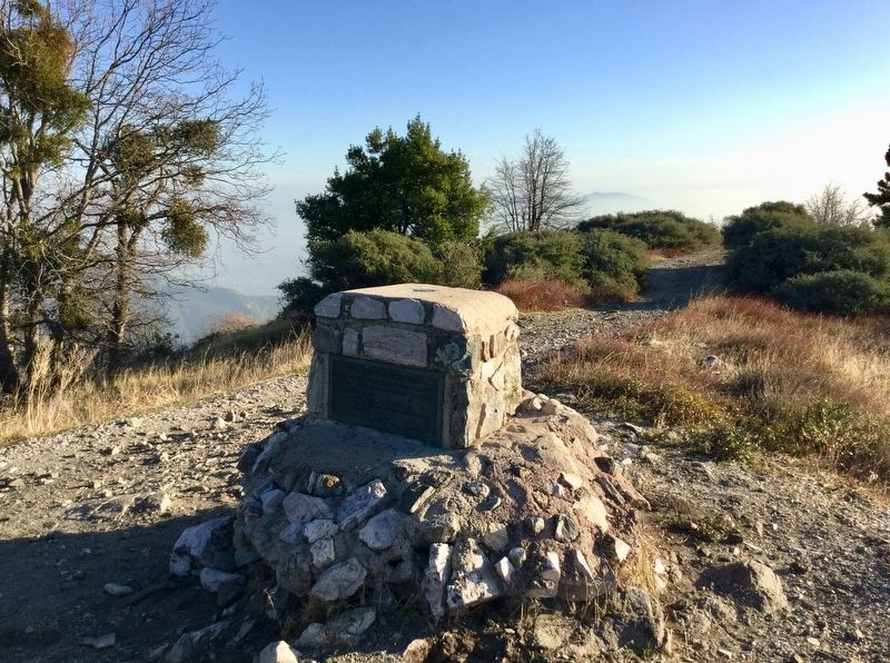
Photographed by Craig Baker, December 24, 2018
2. Garces-Smith Monument
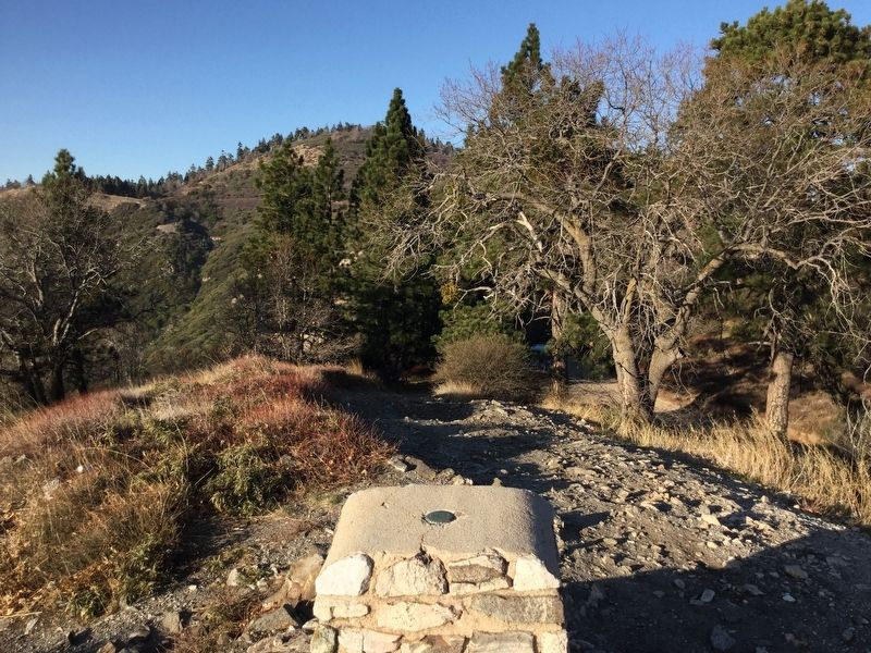
Photographed by Craig Baker, December 24, 2018
3. Trail to the Monument
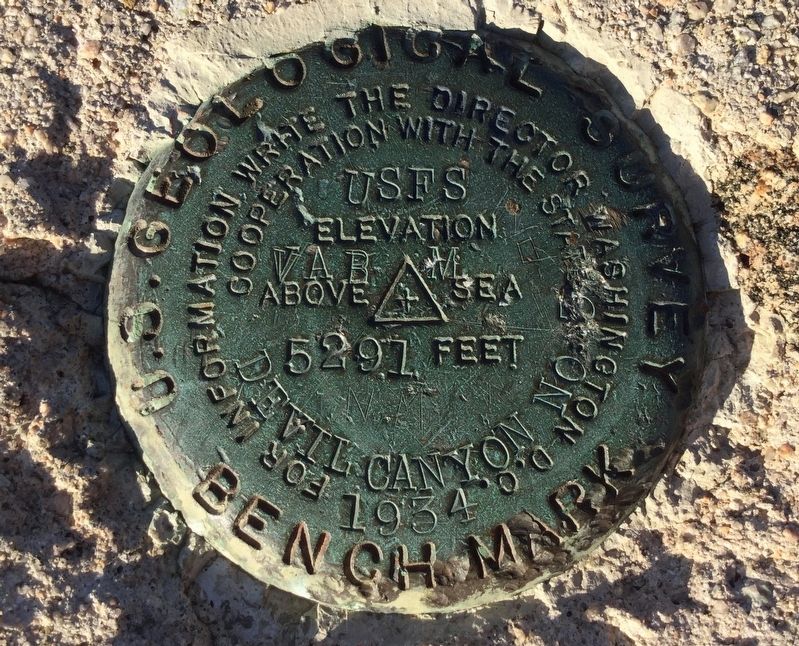
Photographed by Craig Baker, December 24, 2018
4. Elevation 5,291 Feet
Credits. This page was last revised on February 10, 2026. It was originally submitted on December 24, 2018, by Craig Baker of Sylmar, California. This page has been viewed 1,032 times since then and 65 times this year. Photos: 1, 2, 3, 4. submitted on December 24, 2018, by Craig Baker of Sylmar, California. • Andrew Ruppenstein was the editor who published this page.
