Marina del Rey in Los Angeles County, California — The American West (Pacific Coastal)
Marina del Rey
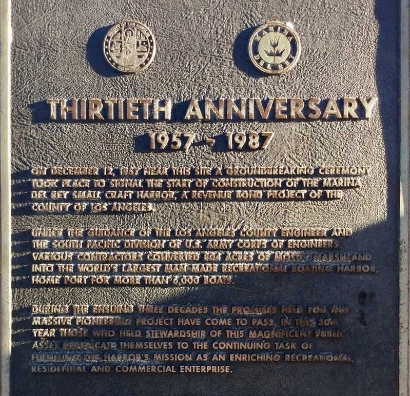
Thirtieth Anniversary
— 1957-1987 —
On December 12, 1957, near this site a groundbreaking ceremony took place to signal the start of construction of the Marina Del Rey small craft harbor, a revenue bond project of the County of Los Angeles.
Under the guidance of the Los Angeles County engineer and the South Pacific division of the U.S. Army Corps of Engineers, various contractors converted 804 acres of mostly marshland into the world’s largest man-made recreational boating harbor, home port for more than 6,000 boats.
During the ensuing three decades the promises held for this massive pioneering project have come to pass. In this 30th year those who held stewardship of this magnificent public asset rededicate themselves to the continuing task of fulfilling the harbor’s mission as an enriching recreational, residential, and commercial enterprise.
Erected 1987 by County of Los Angeles.
Topics. This historical marker is listed in these topic lists: Industry & Commerce • Parks & Recreational Areas • Waterways & Vessels.
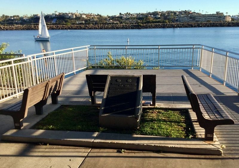
Location. 33° 58.023′ N, 118° 27.178′ W. Marker is in Marina del Rey, California, in Los Angeles County. Marker is on Via Marina south of Old Harbor Lane. Located in Marina Del Rey Inlet Park. Touch for map. Marker is in this post office area: Marina del Rey CA 90292, United States of America. Touch for directions.
Other nearby markers. At least 8 other markers are within 2 miles of this marker, measured as the crow flies. Gabrielino-Tongva People (approx. half a mile away); History of Ballona Lagoon (approx. 0.7 miles away); The Helmsman (approx. ¾ mile away); Dodd Playa Del Rey Residence (approx. ¾ mile away); Marina del Rey Small Craft Harbor (approx. 0.9 miles away); Venice Canals (approx. 1.3 miles away); Luminaries of Pantheism Mural (approx. 1½ miles away); Venice Corner Ball Park (approx. 1.6 miles away). Touch for a list and map of all markers in Marina del Rey.
Credits. This page was last revised on February 7, 2023. It was originally submitted on January 10, 2019, by Craig Baker of Sylmar, California. This page has been viewed 243 times since then and 17 times this year. Photos: 1, 2. submitted on January 10, 2019, by Craig Baker of Sylmar, California. • Andrew Ruppenstein was the editor who published this page.

