Schenectady in Schenectady County, New York — The American Northeast (Mid-Atlantic)
South Shore Road
Inscription.
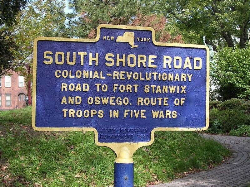
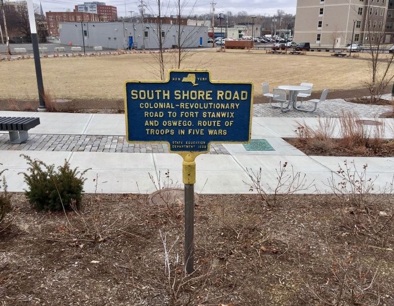
Colonial-Revolutionary
road to Fort Stanwix
and Oswego. Route of
troops in five wars
Erected 1932 by State Education Department.
Topics. This historical marker is listed in these topic lists: Colonial Era • Roads & Vehicles.
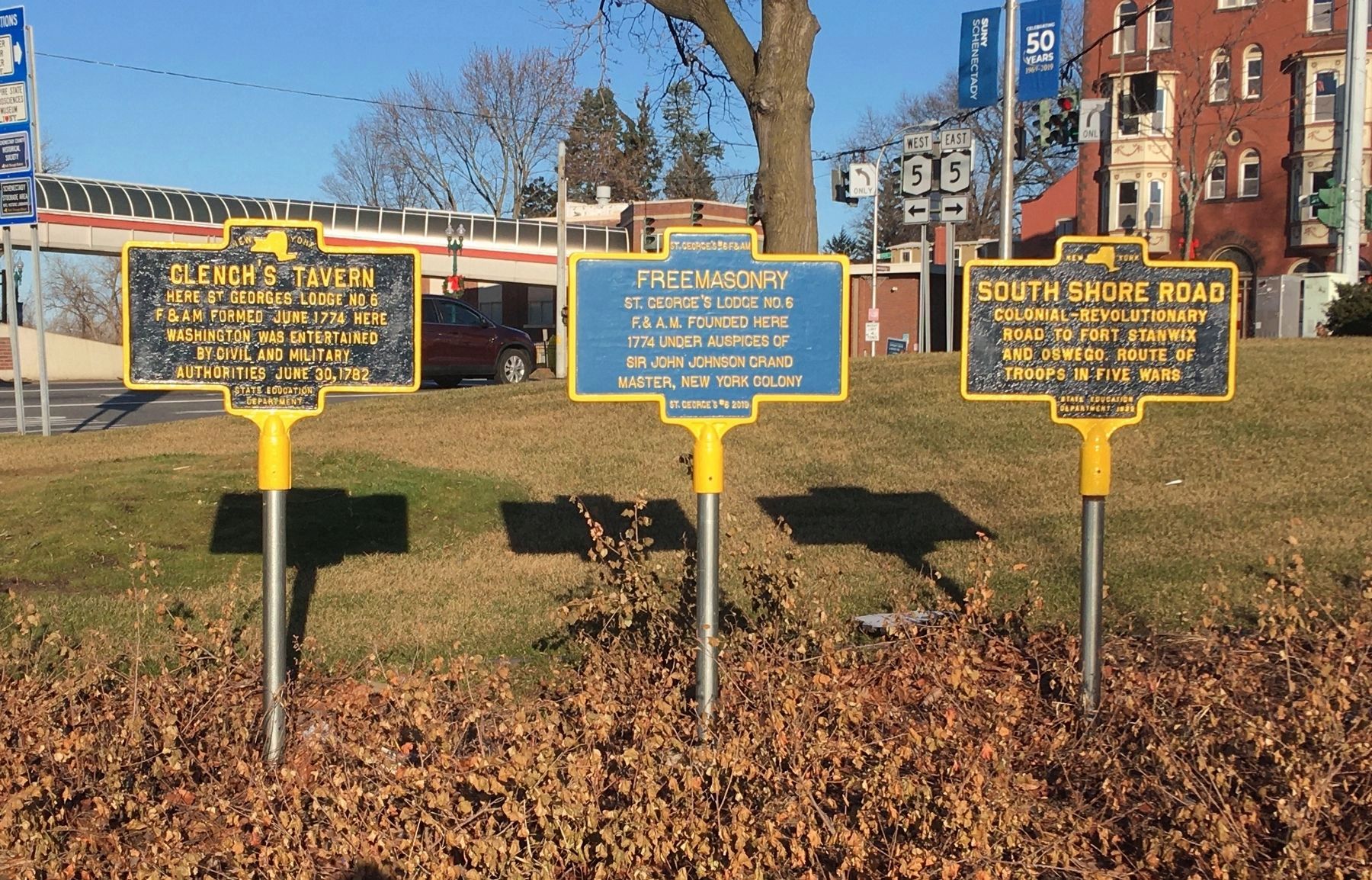
Location. 42° 48.89′ N, 73° 56.936′ W. Marker is in Schenectady, New York, in Schenectady County. Marker is in Gateway Plaza next to Clench’s Tavern Marker at intersection of State Street and Washington Street/I-890 ramp. Touch for map. Marker is in this post office area: Schenectady NY 12305, United States of America. Touch for directions.
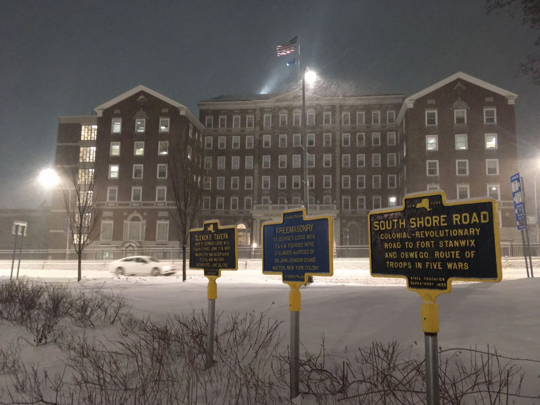
Other nearby markers. At least 8 other markers are within walking distance of this marker. Clench's Tavern (here, next to this marker); Freemasonry (here, next to this marker); First Site of Old Dutch Church (a few steps from this marker); Southwest Corner of Stockade (within shouting distance of this marker); M-7 Day (within shouting distance of this marker); Hotel Van Curler (within shouting distance of this marker); ca 1850 (about 300 feet away, measured in a direct line); Schenectady (about 400 feet away). Touch for a list and map of all markers in Schenectady.

Photographed By Howard C. Ohlhous, November 30, 2019
3. Gateway Plaza, New Location of South Shore Road Marker; The One on the Right
The Route 5 Transit Gateway Linkage Study had determined prior to November of 2012 that Schenectady's Liberty Park was overgrown, neglected, and suffered from security issues due to the berms in the park, as well as a design which was difficult to maintain. Liberty Park was subsequently redesigned and expanded into Gateway Plaza. During implementation of this plan the seven historic markers in the park were removed, and later, five of the seven were reinstalled. Here we see two of the older markers, along with one new one, in the middle.
Credits. This page was last revised on February 8, 2021. It was originally submitted on January 16, 2019, by Steve Stoessel of Niskayuna, New York. This page has been viewed 232 times since then and 19 times this year. Photos: 1. submitted on November 7, 2019, by Howard C. Ohlhous of Duanesburg, New York. 2. submitted on January 18, 2019, by Steve Stoessel of Niskayuna, New York. 3. submitted on December 2, 2019, by Howard C. Ohlhous of Duanesburg, New York. 4. submitted on February 8, 2021, by Howard C. Ohlhous of Duanesburg, New York. • Andrew Ruppenstein was the editor who published this page.


