Nanjemoy in Charles County, Maryland — The American Northeast (Mid-Atlantic)
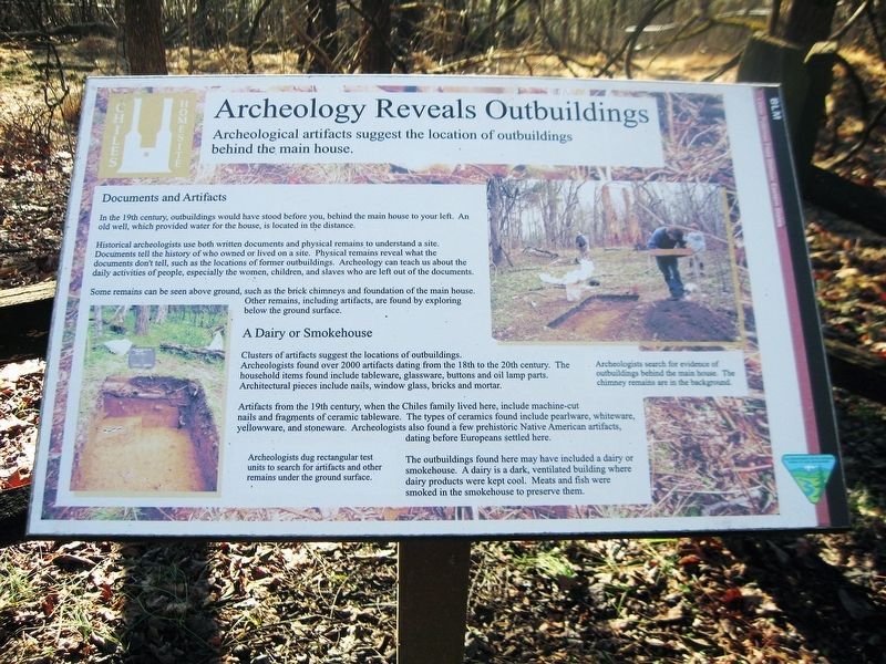
Archeology Reveals Outbuildings
Archeological artifacts suggest the location of outbuildings behind the main house.
Inscription.
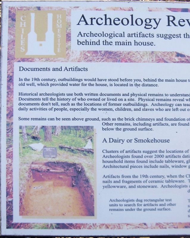
Documents and Artifacts
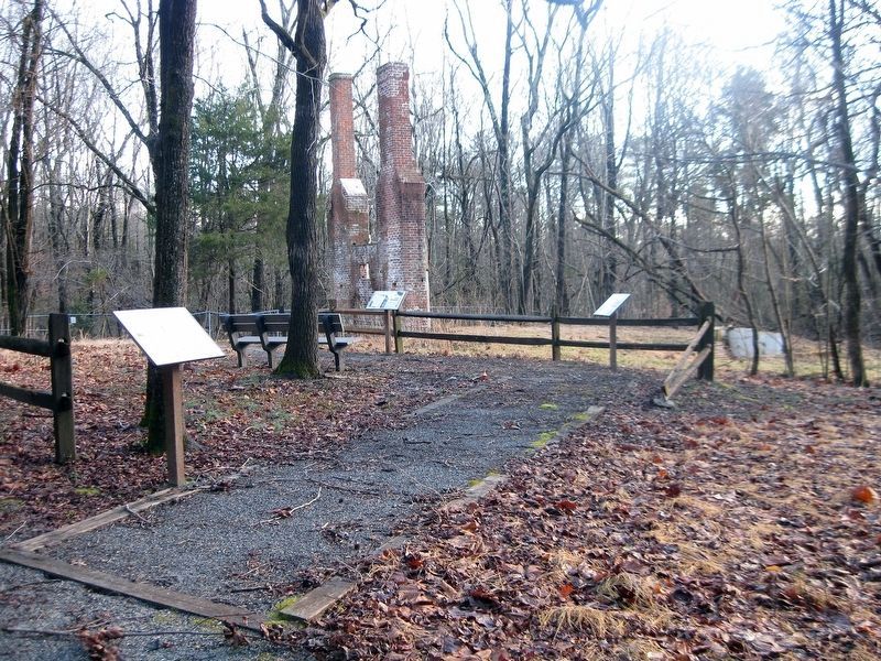
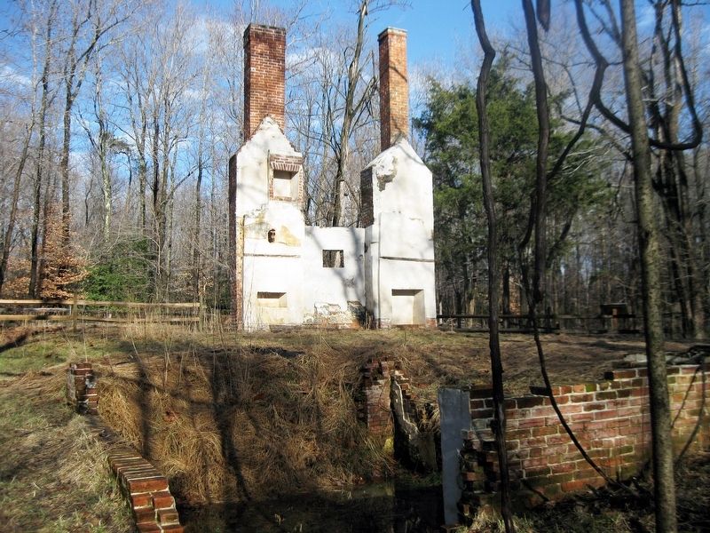
In the 19th century, outbuildings would have stood before you, behind the main house to your left. An old well, which provided water for the house, is located in the distance.
Historical archeologists use both written documents and physical remains to understand a site. Documents tell the history of who owned the place or lived on a site. Physical remains reveal what the documents don't tell, such as the locations of former outbuildings. Archeology can teach us about the daily activities of people, especially women, children, and slaves who are left out of the documents.
Some remains can be seen above ground, such as the brick chimneys and foundations of the main house. Other remains, including artifacts, are found by exploring the ground surface.
A Dairy or Smokehouse
Clusters of artifacts suggest the locations of outbuildings. Archeologists found over 2000 artifacts dating form the 18th to the 20th century. The household items found include tableware, glassware, buttons, and oil lamp parts. Architectural pieces include nails, window glass, bricks and mortar.
Artifacts from the 19th century, when the Chiles family lived here, include machine-cut nails and fragments of ceramic tableware. The types of ceramics found include pearlware, whiteware, yellowware, and stoneware. Archeologists also found a few pieces of prehistoric Native American artifacts, dating before Europeans settled here.
The outbuildings found here may have included a dairy or smokehouse. A dairy is a dark, ventilated building where dairy products were kept cool. Meats and fish were smoked in the smokehouse to preserve them.
(Image of a hole in the ground.)
Archeologists dug rectangular test units to search for artifacts and other remains under the ground surface.
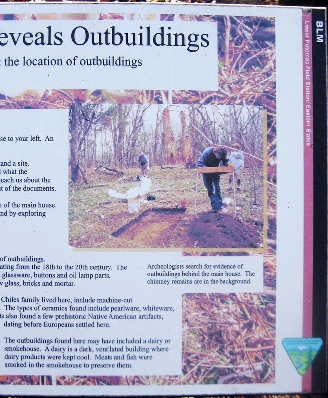
(Image of three people.)
Archeologists search for evidence of outbuildings behind the main house. The chimney remains are in the background.
(Icon in the upper-left corner for the Chiles Homesite.)
(Icon in the lower-right corner for the Department of the Interior, Bureau of Land Management.)
Erected by Department of the Interior, Bureau of Land Management.
Topics. This historical marker is listed in these topic lists: African Americans • Colonial Era • Native Americans • Settlements & Settlers.
Location. 38° 26.6′ N, 77° 15.283′ W. Marker is in Nanjemoy, Maryland, in Charles County. Marker can be reached from Riverside Road (County Route 224) 1.1 miles south of Liverpool Point
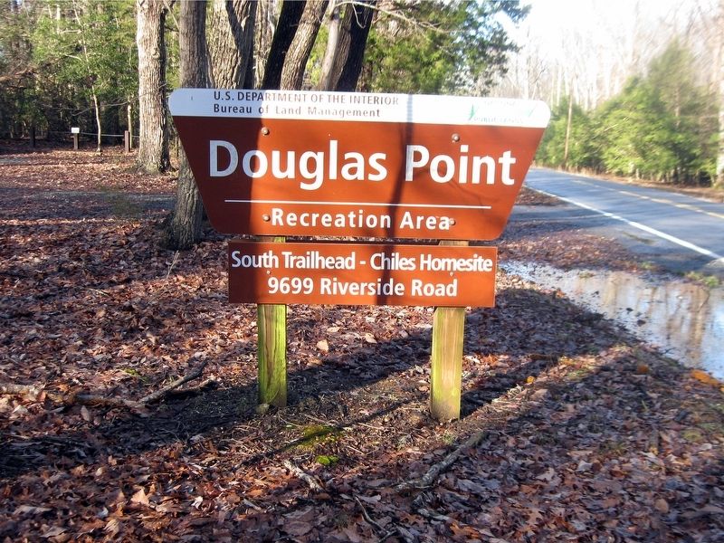
Road (County Route 426). Douglas Point Recreation Area has three parking areas. Use the one with the sign reading "South Trailhead—Chiles Homesite, 9699 Riverside Road." Follow trail for half a mile to reach the five markers at the Chile Homesite. Touch for map. Marker is at or near this postal address: 9699 Riverside Road, Nanjemoy MD 20662, United States of America. Touch for directions.
Other nearby markers. At least 8 other markers are within 3 miles of this marker, measured as the crow flies. Life Cycle of a House (here, next to this marker); Memories of Douglas Point (here, next to this marker); Minister's House, Family Farm (here, next to this marker); Unique Environment (here, next to this marker); Mallows Bay (approx. 1.8 miles away); a different marker also named Mallows Bay (approx. 1.8 miles away); Points of Interest (approx. 1.8 miles away); Washington's Farm (approx. 2.2 miles away). Touch for a list and map of all markers in Nanjemoy.
Also see . . .
1. Mount Pleasant (Chiles House). Maryland Historical Trust Architectural Survey File (Submitted on January 26, 2019.)
2. Douglas Point, Charles County. Maryland Department of Natural Resources website entry (Submitted on January 26, 2019.)
3. Douglas Point Special Recreation Management Area. Department of the Interior, Bureau of Land Management website entry (Submitted on January 26, 2019.)
4. Chiles Homesite, Douglas Point, Maryland. William & Mary Center for Archaeological Research website entry:
Several links for the Chiles Homesite at this webpage. (Submitted on January 26, 2019.)
Credits. This page was last revised on January 19, 2024. It was originally submitted on January 26, 2019. This page has been viewed 297 times since then and 55 times this year. Photos: 1, 2, 3, 4, 5, 6. submitted on January 26, 2019. • Bill Pfingsten was the editor who published this page.
