Gardner in Johnson County, Kansas — The American Midwest (Upper Plains)
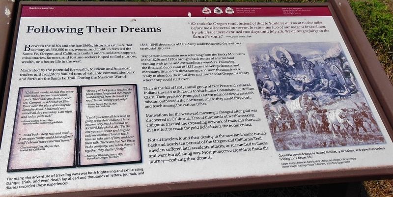
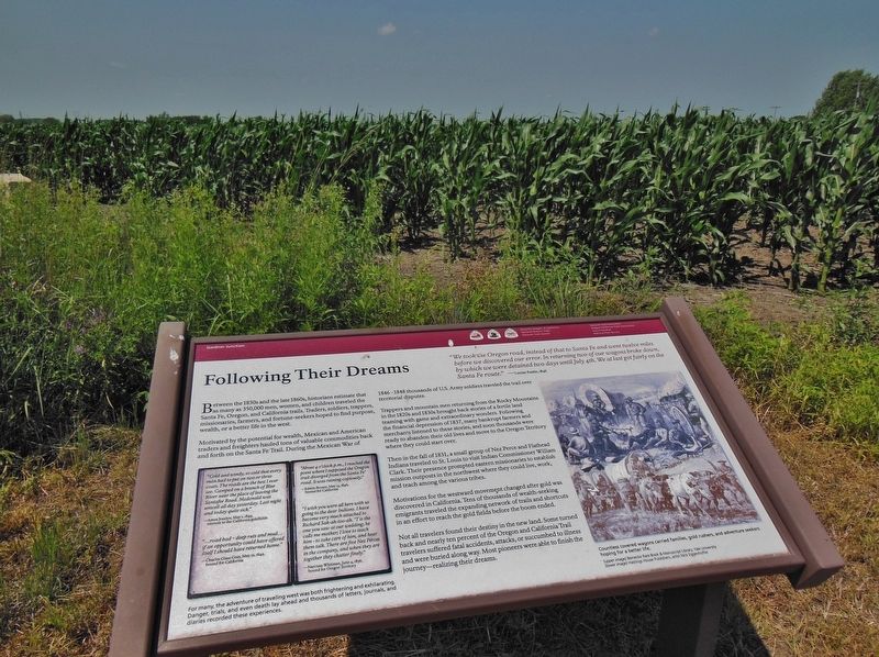
Following Their Dreams
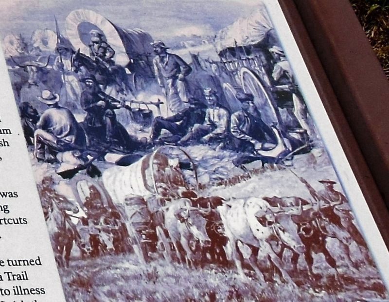
Between the 1830s and the late 1860s, historians estimate that as many as 350,000 men, women, and children traveled the Santa Fe, Oregon, and California trails. Traders, soldiers, trappers, missionaries, farmers, and fortune-seekers hoped to find purpose, wealth, or a better life in the west.
Motivated by the potential for wealth, Mexican and American traders and freighters hauled tons of valuable commodities back and forth on the Santa Fe Trail. During the Mexican War of 1846-1848 thousands of U.S. Army soldiers traveled the trail over territorial disputes.
Trappers and mountain men returning from the Rocky Mountains in the 1820s and 1830s brought back stories of a fertile land teaming with game and extraordinary wonders. Following the financial depression of 1837, many bankrupt farmers and merchants listened to these stories, and soon thousands were ready to abandon their old lives and move to the Oregon Territory where they could start over.
Then in the fall of 1831, a small group of Nez Perce and Flathead Indians traveled to St. Louis to visit Indian Commissioner William Clark. Their presence prompted eastern missionaries to establish mission outposts in the northwest where they could live, work, and teach among the various tribes.
Motivations for the westward movement changed after gold was discovered in California. Tens of thousands of wealth-seeking emigrants traveled the expanding network of trails and shortcuts in an effort to reach the gold fields before the boom ended.
Not all travelers found their destiny in the new land. Some turned back and nearly ten percent of the Oregon and California Trail travelers suffered fatal accidents, attacks, or succumbed to illness and were buried along way. Most pioneers were able to finish the journey — realizing their dreams.
Erected by Santa Fe, Oregon and California National Historic Trails, City of Gardner and National Park Service.
Topics and series. This historical marker is listed in these topic lists: Industry & Commerce • Native Americans • Roads & Vehicles • Settlements & Settlers. In addition, it is included in the California Trail, the Oregon Trail, and the Santa Fe Trail series lists.
Location. 38° 47.787′ N, 94° 57.735′ W. Marker
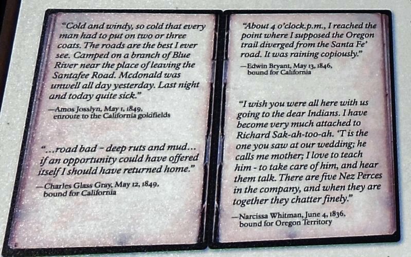
2. Marker detail: Journal entries
For many, the adventure of traveling west was both frightening and exhilarating. Danger, trials, and even death lay ahead and thousands of letters, journals, and diaries recorded these experiences.
"Cold and windy, so cold that every man had to put on two or three coats. The roads are the best I ever see. Camped on a branch of Blue River near the place of leaving the Santafee Road. Mcdonald was unwell all day yesterday. Last night and today quite sick."
—Amos Josslyn, May 1, 1849, enroute to the California goldfields
"…road bad - deep ruts and mud… if an opportunity could have offered itself I should have returned home."
—Charles Glass Gray, May 12, 1849, bound for California
”About 4 o'clock p.m., I reached the point where I supposed the Oregon trail diverged from the Santa Fe road. It was raining copiously."
—Edwin Bryant, May 13, 1846, bound for California
"I wish you were all here with us going to the dear Indians. I have become very much attached to Richard Sak-ah-too-ah. 'T is the one you saw at our wedding; he calls me mother; I love to teach him - to take care of him, and hear them talk. There are five Nez Perces in the company, and when they are together they chatter finely."
—Narcissa Whitman, June 4. 1836, bound for Oregon Territory
Other nearby markers. At least 8 other markers are within 2 miles of this marker, measured as the crow flies. Eye of the Needle (here, next to this marker); Apprehension and Conflict (within shouting distance of this marker); From Prairie Schooners to Locomotives (within shouting distance of this marker); A Look Back in Time (within shouting distance of this marker); a different marker also named A Look Back in Time (within shouting distance of this marker); a different marker also named A Look Back in Time (within shouting distance of this marker); Overland Trails (approx. 2 miles away); The Herman B. Foster Home (approx. 2 miles away). Touch for a list and map of all markers in Gardner.
Credits. This page was last revised on March 24, 2019. It was originally submitted on March 22, 2019, by Cosmos Mariner of Cape Canaveral, Florida. This page has been viewed 253 times since then and 23 times this year. Photos: 1, 2, 3, 4, 5. submitted on March 24, 2019, by Cosmos Mariner of Cape Canaveral, Florida.
