Near New Glarus in Green County, Wisconsin — The American Midwest (Great Lakes)
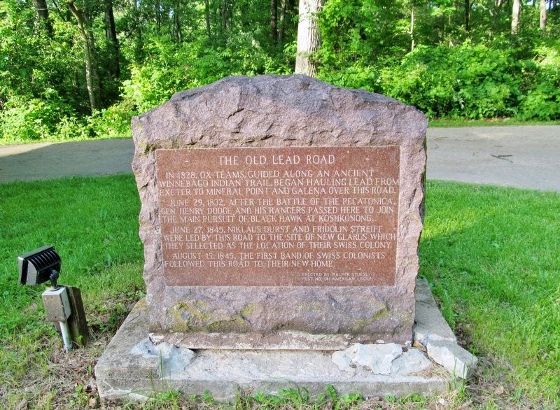
The Old Lead Road
June 29, 1832, after the Battle of the Pecatonica, Gen. Henry Dodge and his Rangers passed here to join the main pursuit of Black Hawk at Koshkonong.
June 27, 1845, Niklaus Durst and Fridolin Streiff were led by this road to the site of New Glarus which they selected as the location of their Swiss colony.
August 15, 1845, the first band of Swiss colonists followed this road to their new home.
Erected by Walter Stuessy Post No. 141 American Legion.
Topics. This historical marker is listed in these topic lists: Roads & Vehicles • Settlements & Settlers • Wars, US Indian. A significant historical date for this entry is June 29, 1832.
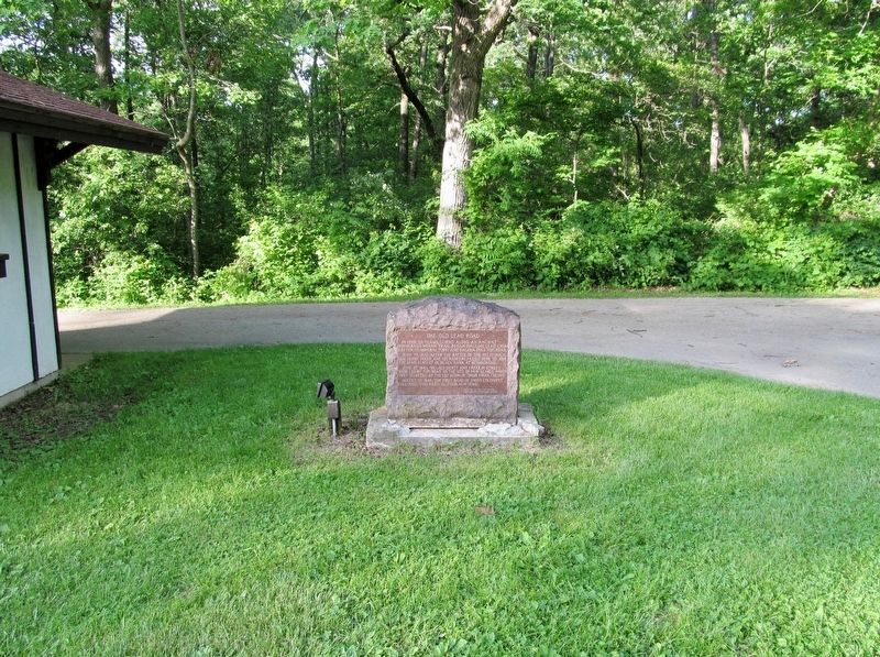
Location. 42° 47.224′ N, 89° 37.78′ W. Marker is near New Glarus, Wisconsin, in Green County. Marker is on County Highway NN, 0.1 miles west of State Highway 69, on the right when traveling west. Marker is within New Glarus Woods State Park. Touch for map. Marker is at or near this postal address: W5446 County NN, New Glarus WI 53574, United States of America. Touch for directions.
Other nearby markers. At least 8 other markers are within 10 miles of this marker, measured as the crow flies. New Glarus (approx. 2 miles away); Herbert O. Kubly (approx. 2.1 miles away); Nickolaus Gerber (approx. 3.3 miles away); Lake Montesian (approx. 3.3 miles away); Green's Prairie Cemetery (approx. 6.3 miles away); Primrose Lutheran Church (approx. 6.9 miles away); Early Belleville / Library Park (approx. 7 miles away); Robert M. La Follette: The Early Years (approx. 9.7 miles away). Touch for a list and map of all markers in New Glarus.
More about this marker. The marker once had a WWI field cannon close by. Today all that remains is the stone.
Credits. This page was last revised on March 26, 2019. It was originally submitted on March 26, 2019, by Keith L of Wisconsin Rapids, Wisconsin. This page has been viewed 625 times since then and 236 times this year. Photos: 1, 2. submitted on March 26, 2019, by Keith L of Wisconsin Rapids, Wisconsin.

