San Luis Potosí, Mexico — The Northeast (and Central Highlands)
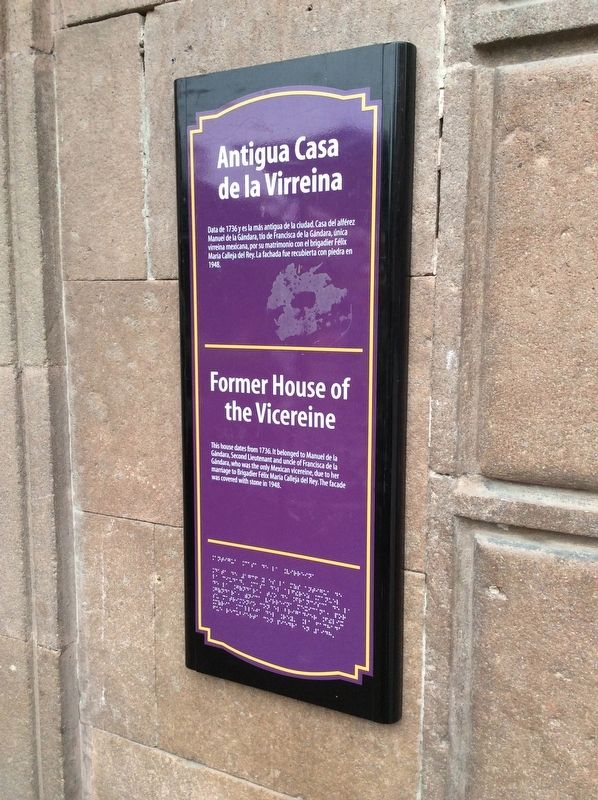
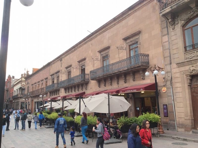
Former House of the Vicereine
Data de 1736 y es la más antigua de la ciudad. Casa del alférez Manuel de la Gándara, tío de Francisca de la Gándara, única virreina mexicana, por su matrimonio con el brigadier Félix María Calleja del Rey. La fachada fue recubierta con piedra en 1948.
Former House of the Vicereine
This house dates from 1736. It belonged to Manuel de la Gándara, Second Lieutenant and uncle of Francisca de la Gándara, who was the only Mexican vicereine, due to her marriage to Brigadier Félix María Calleja del Rey. The façade was covered with stone in 1948.
Topics. This historical marker is listed in these topic lists: Colonial Era • Government & Politics • Man-Made Features. A significant historical year for this entry is 1736.
Location. 22° 9.13′ N, 100° 58.583′ W. Marker is in San Luis Potosí. Marker is on Jardín Hidalgo just west of Calle Miguel Hidalgo, on the right when traveling west. Touch for map. Marker is in this post office area: San Luis Potosí 78000, Mexico. Touch for directions.
Other nearby markers. At least 8 other markers are within walking distance of this marker. The House of the Vicereine (a few steps from this marker); Arms Square / City Hall (within shouting distance of this marker); Government Palace / Vicereine’s House (within shouting distance of this marker); Municipal Palace (within shouting distance of this marker); Miguel Hidalgo Street / Crystal Palace (within shouting distance of this marker); The Crystal Palace (within shouting distance of this marker); Metropolitan Cathedral / Vicereine's Balcony (within shouting distance of this marker); Government Palace (within shouting distance of this marker). Touch for a list and map of all markers in San Luis Potosí.
Credits. This page was last revised on April 17, 2019. It was originally submitted on April 10, 2019, by J. Makali Bruton of Accra, Ghana. This page has been viewed 89 times since then and 12 times this year. Photos: 1, 2. submitted on April 10, 2019, by J. Makali Bruton of Accra, Ghana. 3. submitted on April 17, 2019, by J. Makali Bruton of Accra, Ghana.


