Near Metter in Candler County, Georgia — The American South (South Atlantic)
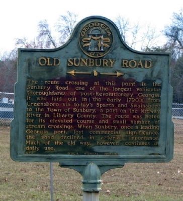
Old Sunbury Road
← →
Erected 1956 by Georgia Historical Commission. (Marker Number 021-2.)
Topics and series. This historical marker is listed in these topic lists: Industry & Commerce • Roads & Vehicles • Settlements & Settlers • Waterways & Vessels. In addition, it is included in the Georgia Historical Society series list.
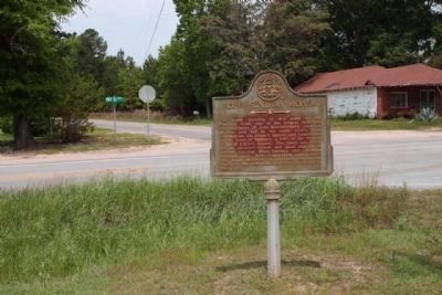
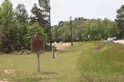
Location. 32° 21.044′ N, 82° 5.73′ W. Marker is near Metter, Georgia, in Candler County. Marker is at the intersection of Georgia Route 23/121 and Canoochee Road, on the left when traveling south on State Route 23/121. Touch for map. Marker is at or near this postal address: 19500 Canoochee Road, Metter GA 30439, United States of America. Touch for directions.
Other nearby markers. At least 8 other markers are within 8 miles of this marker, measured as the crow flies. Candler County Courthouse (approx. 3.7 miles away); Candler County (approx. 3.8 miles away); American Legion Armed Forces Tribute (approx. 3.8 miles away); Candler County War Memorial (approx. 3.8 miles away); Metter's Fountain (approx. 3.8 miles away); Cobbtown's Beginnings (approx. 5.4 miles away); a different marker also named Old Sunbury Road (approx. 7.2 miles away); Cedar Creek Primitive Baptist Church (approx. 7.6 miles away). Touch for a list and map of all markers in Metter.
Credits. This page was last revised on January 25, 2021. It was originally submitted on November 6, 2008, by David Seibert of Sandy Springs, Georgia. This page has been viewed 1,723 times since then and 17 times this year. Photos: 1. submitted on November 6, 2008, by David Seibert of Sandy Springs, Georgia. 2, 3. submitted on April 19, 2009, by Mike Stroud of Bluffton, South Carolina. • Bill Pfingsten was the editor who published this page.


