Del Rio in Val Verde County, Texas — The American South (West South Central)
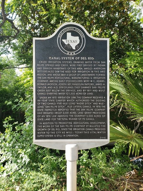
Canal System of Del Rio
Crude irrigation systems, drawing water from San Felipe Springs and Creek, were first devised by Indian and Spanish inhabitants of this area. Anglo-American settlers also saw the need for irrigation in this arid region, and about 1869 a group of landowners formed the San Felipe Agricultural, Manufacturing & Irrigation Company. Among early stockholders were W. C. Adams, Donald Jackson, Joseph Ney, Randolph Pafford, James H. Taylor, and A. O. Strickland. They dammed San Felipe Creek just below the Springs, and by 1871 had built canals diverting water to 1,500 acres of land.
Under an 1875 irrigation law, the company received a 99-year state charter which authorized the digging of two canals: five-mile-long "Madre Ditch" and mile long "San Felipe Ditch", plus lateral canals. In 1876 the state inspector reported that the San Felipe Company had irrigated about 3,000 acres. Land grant provisions of an 1876 law awarded the company 5,000 acres of state land for the total mileage of its canals.
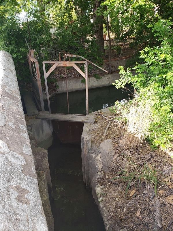
In addition to promoting agricultural development, the work of the San Felipe Company stimulated the growth of Del Rio, since the irrigation canals provided water to the city as well. Today this vital water supply system is still in operation.
Erected 1975 by Texas Historical Commission . (Marker Number 699.)
Topics. This historical marker is listed in these topic lists: Native Americans • Waterways & Vessels. A significant historical year for this entry is 1869.
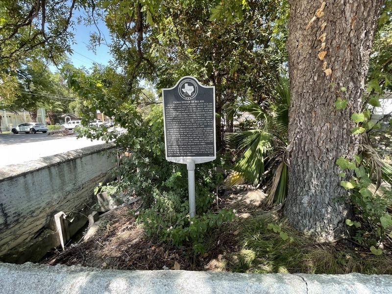
Location. 29° 21.436′ N, 100° 53.984′ W. Marker is in Del Rio, Texas, in Val Verde County. Marker is at the intersection of East Canal Street and Griner Street, on the right on East Canal Street. Touch for map. Marker is in this post office area: Del Rio TX 78840, United States of America. Touch for directions.
Other nearby markers. At least 8 other markers are within walking distance of this marker. Max and Anna Stool (within shouting distance of this marker); Old Del Rio National Bank Building (about 500 feet away, measured in a direct line); Texas Sheep and Goat Raisers' Association (about 800 feet away); Val Verde County Courthouse Square (approx. 0.2 miles away); Camp Hudson, C.S.A. (approx. 0.2 miles away); Elks Lodge Hall (approx. 0.2 miles away); John Taini (approx. ¼ mile away); Old Del Rio High School (approx. ¼ mile away). Touch for a list and map of all markers in Del Rio.
Credits. This page was last revised on November 12, 2021. It was originally submitted on May 16, 2019, by Mike Wintermantel of Pittsburgh, Pennsylvania. This page has been viewed 604 times since then and 69 times this year. Photos: 1. submitted on May 16, 2019, by Mike Wintermantel of Pittsburgh, Pennsylvania. 2. submitted on November 12, 2021, by Brian Anderson of Humble, Texas. 3. submitted on May 16, 2019, by Mike Wintermantel of Pittsburgh, Pennsylvania.


