Upper Makefield Township near Washington Crossing in Bucks County, Pennsylvania — The American Northeast (Mid-Atlantic)
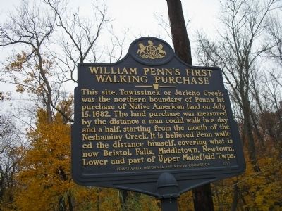
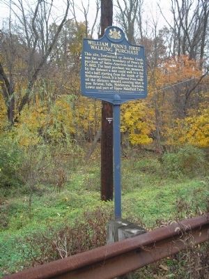
William Pennís First Walking Purchase
Erected 2001 by Pennsylvania Historical and Museum Commission.
Topics and series. This historical marker is listed in these topic lists: Colonial Era • Native Americans • Settlements & Settlers. In addition, it is included in the Pennsylvania Historical and Museum Commission series list. A significant historical date for this entry is July 15, 1682.
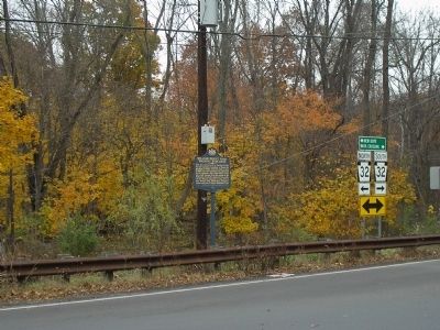
Location. 40° 18.693′ N, 74° 54.349′ W. Marker is near Washington Crossing, Pennsylvania, in Bucks County. It is in Upper Makefield Township. Marker is at the intersection of River Road (Pennsylvania Route 32) and Taylorsville Road, on the right when traveling north on River Road. Touch for map. Marker is in this post office area: Washington Crossing PA 18977, United States of America. Touch for directions.
Other nearby markers. At least 8 other markers are within 2 miles of this marker, measured as the crow flies. Fiddlers Creek History (approx. 0.9 miles away in New Jersey); The Historic District of Titusville (approx. 1.3 miles away in New Jersey); Washington Crossing (approx. 1.6 miles away); Unknown Soldiers of the Continental Army (approx. 2 miles away); Henry Phillips House (approx. 2 miles away in New Jersey); Howell Living History Farm (approx. 2 miles away in New Jersey); Washington's Crossing of Delaware (approx. 2.1 miles away); John Pidcock (approx. 2.1 miles away). Touch for a list and map of all markers in Washington Crossing.
Also see . . . William Penn in America. The Life of William Penn website. (Submitted on November 7, 2008, by Bill Coughlin of Woodland Park, New Jersey.)
Credits. This page was last revised on February 7, 2023. It was originally submitted on November 7, 2008, by Bill Coughlin of Woodland Park, New Jersey. This page has been viewed 1,696 times since then and 94 times this year. Photos: 1, 2, 3. submitted on November 7, 2008, by Bill Coughlin of Woodland Park, New Jersey.


