Bacalar, Quintana Roo, Mexico — The Yucatan Peninsula (The Southeast)
Fort of San Felipe
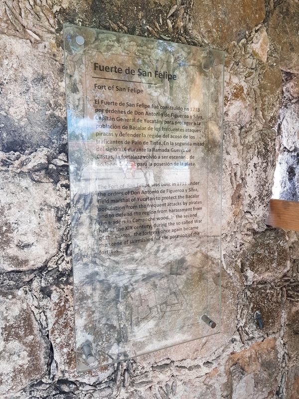
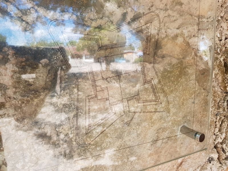
Fuerte de San Felipe
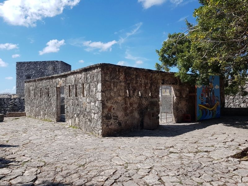
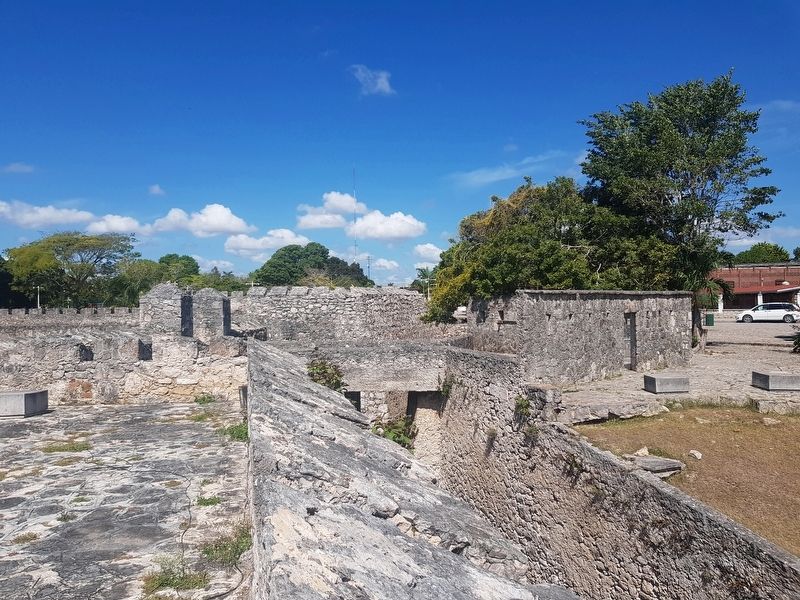
El Fuerte de San Felipe fue construido en 1733 por ordenes de Don Antonio de Figueroa y Silva, Capitán General de Yucatán, para proteger a la población de Bacalar de los frecuentes ataques piratas y defender la región del acoso de los traficantes de Palo de Tinte. En la segunda mitad del siglo XIX durante la llamada Guerra de Castas, la fortaleza volvió a ser escenario de acciones bélicas para la posesión de la plaza.
Fort of San Felipe
The Fort of San Felipe was built in 1733 under the orders of Don Antonio de Figueroa de Silva, field marshal of Yucatán to protect the Bacalar population from the frequent attacks by pirates and to defend the region from harassment from the traders in Campeche wood. In the second half of the XIX century, during the so called War of the Castes, the fortress once again became the scene of skirmishes for the position of the fortress.
Topics. This historical marker is listed in these topic lists: Forts and Castles • Man-Made Features • Wars, Non-US. A significant historical year for this entry is 1733.
Location. 18° 40.633′ N, 88° 23.311′ W. Marker is in Bacalar, Quintana Roo. Marker is on Avenida 3 just north of Calle 22, on the right when traveling north. Touch for map. Marker is in this post office area: Bacalar QR 77930, Mexico. Touch for directions.
Other nearby markers. At least 8 other markers are within walking distance of this marker. Bridge of the Fort of San Felipe (here, next to this marker); Moat of the Fort of San Felipe (here, next to this marker); San Felipe Fort (within shouting distance of this marker); Bacalar as a Municipality (within shouting distance of this marker); Miguel Hidalgo y Costilla (about 150 meters away, measured in a direct line); Creation of the Municipality of Bacalar (about 240 meters away); Church of San Joaquín (approx. 0.3 kilometers away); Bacalar (approx. 0.3 kilometers away). Touch for a list and map of all markers in Bacalar.
Credits. This page was last revised on June 22, 2019. It was originally submitted on May 20, 2019, by J. Makali Bruton of Accra, Ghana. This page has been viewed 163 times since then and 29 times this year. Photos: 1, 2, 3, 4. submitted on May 20, 2019, by J. Makali Bruton of Accra, Ghana.


