Near Whitney in Dawes County, Nebraska — The American Midwest (Upper Plains)
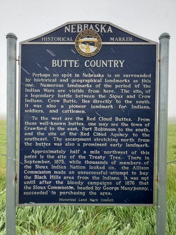
Butte Country
To the west are the Red Cloud Buttes. From these well-known buttes, one may see the town of Crawford to the east, Fort Robinson to the south, and the site of the Red Cloud Agency to the southeast. The escarpment stretching north from the buttes was also a prominent early landmark.
Approximately half a mile northwest of this point is the site of the Treaty Tree. There in September, 1875, while thousands of members of the Sioux Indian Nation looked on, the Allison Commission made an unsuccessful attempt to buy the Black Hills area from the Indians. It was not until after the bloody campaigns of 1876 that the Sioux Commission, headed by George Manypenny, succeeded in purchasing the area.
Erected by the Historical Land Mark Council. (Marker Number 003.)
Topics and series. This historical marker is listed in these topic lists: Native Americans • Wars, US Indian . In addition, it is included in the Nebraska State Historical Society series list. A significant historical month for this entry is September 1875.
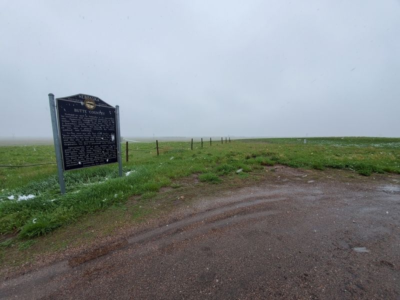
Location. 42° 43.342′ N, 103° 19.593′ W. Marker is near Whitney, Nebraska, in Dawes County. Marker is at the intersection of U.S. 20 and Betson Road, on the right when traveling east on U.S. 20. Touch for map. Marker is in this post office area: Whitney NE 69367, United States of America. Touch for directions.
Other nearby markers. At least 8 other markers are within 7 miles of this marker, measured as the crow flies. The Council Tree (approx. 1.2 miles away); Grand Council Site (approx. 1.2 miles away); Crawford (approx. 5 miles away); Crawford 1891 School Bell (approx. 5 miles away); The Death of Baptiste Garnier (approx. 5 miles away); Crossing of the Trails (approx. 5.2 miles away); Moses P. Kinkaid (approx. 5.2 miles away); Site of Red Cloud Indian Agency (approx. 6.6 miles away). Touch for a list and map of all markers in Whitney.
Credits. This page was last revised on June 10, 2019. It was originally submitted on June 10, 2019, by Brian Anderson of Humble, Texas. This page has been viewed 361 times since then and 23 times this year. Photos: 1, 2. submitted on June 10, 2019, by Brian Anderson of Humble, Texas.

