Bacalar, Quintana Roo, Mexico — The Yucatan Peninsula (The Southeast)
Bacalar
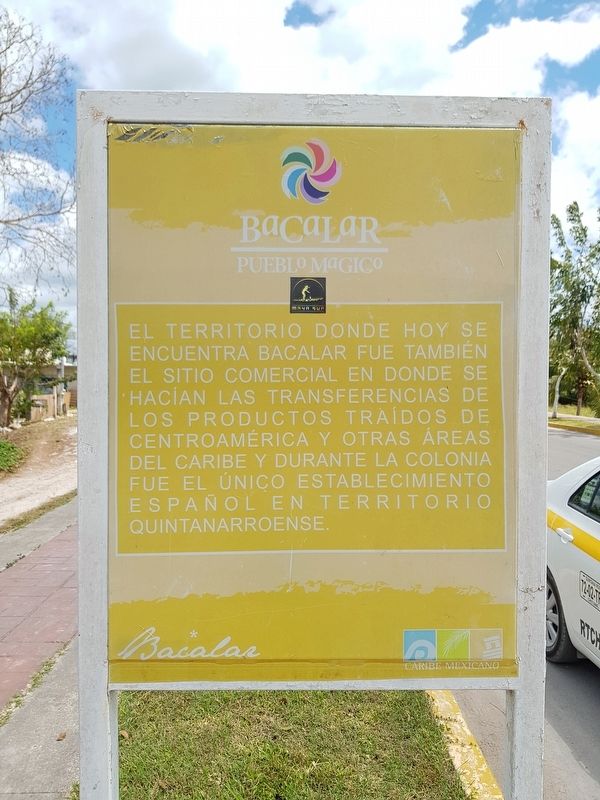
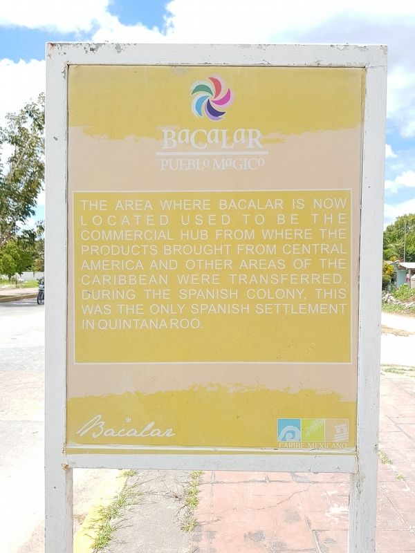
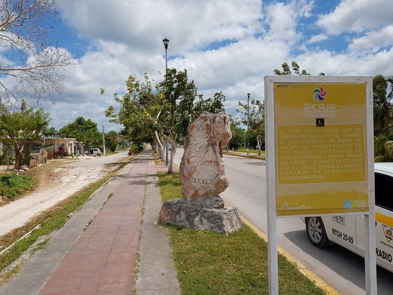
The area where Bacalar is now located used to be the commercial hub from where the products brought from Central America and other areas of the Caribbean were transferred. During the Spanish Colony, this was the only settlement in Quintana Roo.
Topics. This historical marker is listed in these topic lists: Colonial Era • Industry & Commerce • Native Americans.
Location. 18° 40.165′ N, 88° 23.802′ W. Marker is in Bacalar, Quintana Roo. Marker is at the intersection of Avenida Adolfo López Mateos and Calle 2, on the left when traveling north on Avenida Adolfo López Mateos. Touch for map. Marker is in this post office area: Bacalar QR 77930, Mexico. Touch for directions.
Other nearby markers. At least 8 other markers are within walking distance of this marker. K'atunes or Periods of History (within shouting distance of this marker); Cenotes, Fresh Water Supply (about 120 meters away, measured in a direct line); Bacalar - 1729 (about 210 meters away); Pre-Columbian Bacalar, Foundation (approx. 0.2 kilometers away); Pre-Columbian Time, End of Period (approx. 0.3 kilometers away); a different marker also named Bacalar (approx. half a kilometer away); Bel Itzá, or Path of the Itzaes (approx. half a kilometer away); a different marker also named Bacalar (approx. half a kilometer away). Touch for a list and map of all markers in Bacalar.
Credits. This page was last revised on June 22, 2019. It was originally submitted on June 22, 2019, by J. Makali Bruton of Accra, Ghana. This page has been viewed 76 times since then and 4 times this year. Photos: 1, 2, 3. submitted on June 22, 2019, by J. Makali Bruton of Accra, Ghana.


