Greenville in Greenville County, South Carolina — The American South (South Atlantic)
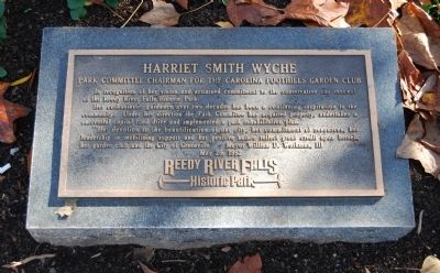
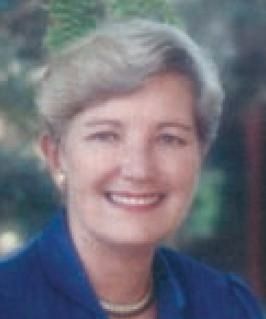
Harriet Smith Wyche
Park Committee Chairman for the Carolina Foothills Garden Club
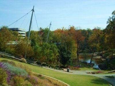
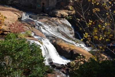
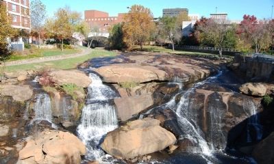
— Reedy River Falls Historic Park —
In recognition of her vision and sustained commitment to the conservation and renewal of the Reedy River Falls Historic Park.
Her enthusiastic guidance over two decades has been a continuing inspiration to the community. Under her direction the Park Committee has acquired property, undertaken a successful capital fund drive and implemented a park rehabilitation plan.
"Her devotion to the beautification of our city, her commitment of resources, her leadership in mobilizing support and her positive nature reflect great credit upon herself, her garden club, and the City of Greenville." Mayor William D. Williams, III
Erected 1992.
Topics. This historical marker is listed in these topic lists: Environment • Horticulture & Forestry • Women. A significant historical date for this entry is May 20, 1827.
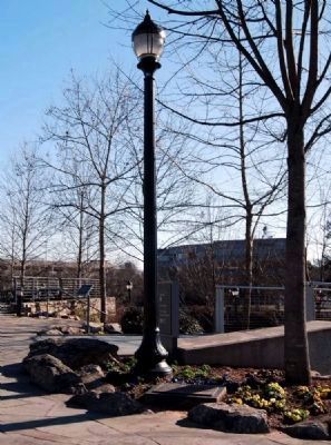
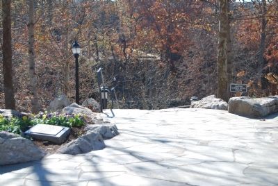
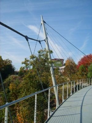
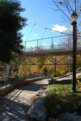
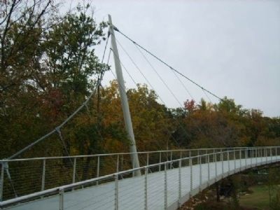
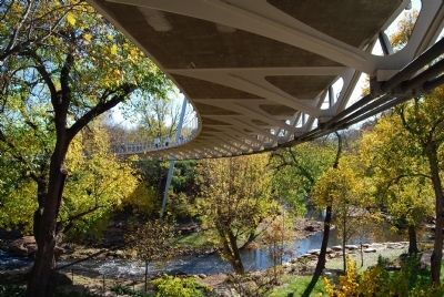
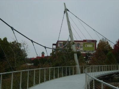
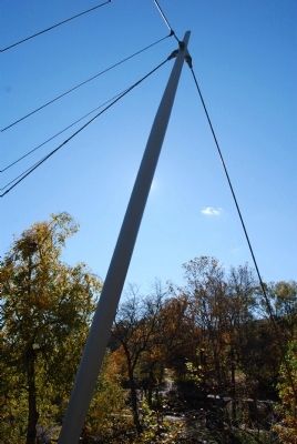
Location. 34° 50.683′ N, 82° 24.1′ W. Marker is in Greenville, South Carolina, in Greenville County. Marker is on South Main Street, on the left when traveling south. Marker is located at the Main Street end of Liberty Bridge. Touch for map. Marker is in this post office area: Greenville SC 29605, United States of America. Touch for directions.
Other nearby markers. At least 10 other markers are within walking distance of this marker. History of Falls Park (here, next to this marker); McBee's Mills (within shouting distance of this marker); Reedy River Falls (within shouting distance of this marker); Hunting Grounds to Mill Town (within shouting distance of this marker); Liberty Bridge (within shouting distance of this marker); Paul Ellis, III Overlook (within shouting distance of this marker); Tate Plaza (within shouting distance of this marker); Chicora College (within shouting distance of this marker); The Touchstone House (within shouting distance of this marker); The Reedy River (within shouting distance of this marker). Touch for a list and map of all markers in Greenville.
Regarding Harriet Smith Wyche. This marker is one of a series of markers in the Historic Falls Park covering bits of Greenville's history.
Also see . . .
1. Friends of the Reedy River. The Reedy River is an economic and social resource for the community that impacts our quality of life. Maintaining and protecting its health, above and below the surface, is pivotal in maintaining the natural, social and economical health of the Upstate of South Carolina. (Submitted on November 20, 2008, by Brian Scott of Anderson, South Carolina.)
2. Reedy River. The Reedy River is a tributary of the Saluda River, about 65 mi (105 km) long, in northwestern South Carolina in the United States. (Submitted on November 20, 2008, by Brian Scott of Anderson, South Carolina.)
3. Liberty Bridge at Falls Park on the Reed. The Liberty Bridge at Falls Park on the Reedy is a bridge in Greenville, South Carolina. (Submitted on November 20, 2008, by Brian Scott of Anderson, South Carolina.)
4. Biography of Miguel Rosales, Architect of the Liberty Bridge. Mr. Rosales has participated in several major bridge projects across the country including the new Woodrow Wilson Memorial Bridge in Washington, DC; Puente Centenario 2nd Crossing of the Panama Canal, the George Washington Carver Bridge in Des Moines, Iowa and the Liberty Bridge in Greenville, South Carolina. (Submitted on November 20, 2008, by Brian Scott of Anderson, South Carolina.)
Credits. This page was last revised on December 13, 2019. It was originally submitted on November 20, 2008, by Brian Scott of Anderson, South Carolina. This page has been viewed 2,184 times since then and 233 times this year. Photos: 1. submitted on November 20, 2008, by Brian Scott of Anderson, South Carolina. 2, 3. submitted on February 26, 2010, by Brian Scott of Anderson, South Carolina. 4. submitted on December 20, 2008, by Brian Scott of Anderson, South Carolina. 5, 6, 7, 8, 9, 10, 11, 12, 13. submitted on November 20, 2008, by Brian Scott of Anderson, South Carolina.
