Qarne Hittin National Park
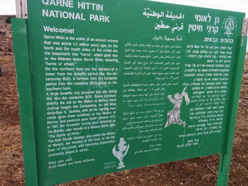
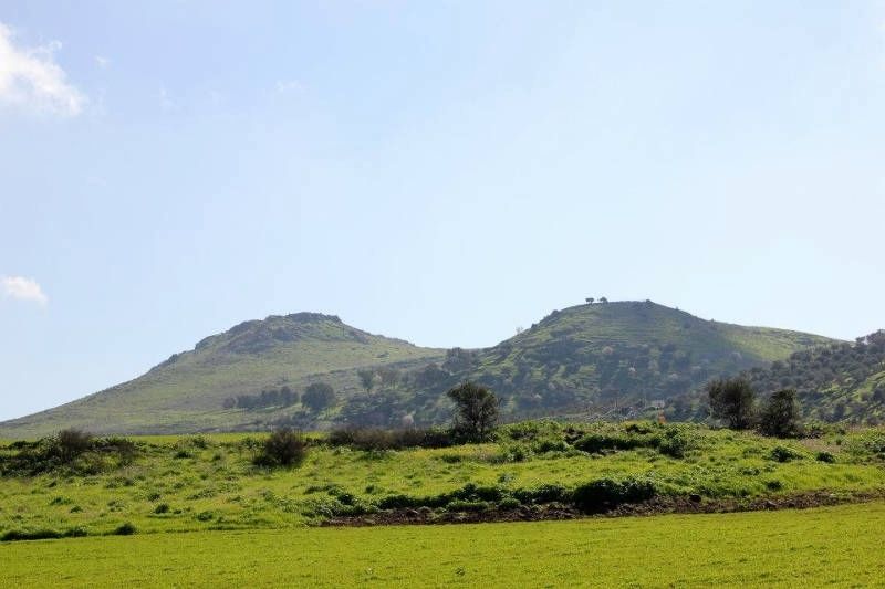
On the northern horn are the remains of a tower from the Israelite period (the 7th-8th centuries BCE). A fortress from the Canaanite period (14th-13th centuries BCE) stood on the southern horn.
A large Israelite city occupied this site during the 10th-8th centuries BCE. Some scholars identify the site as the Waters of Merom, where Joshua fought the Canaanites. As the Bible describes it, Joshua, with all his fighting men, came upon them suddenly at the Waters of Merom, and pounced upon them (Joshua 1:11). In 1187, the Crusader forces were defeated by the Muslim ruler Saladin in a famous battle here "The Battle of Hittin."
The Nebi Shu'eb Springs, also called the waters of Meron are located at the base of the hill. East of the crater wild hyacinth (Hyacinth orientalis) bloom in winter.
(Hebrew and Arabic not transcribed)
Erected by Israel Nature and Parks authority.
Topics. This historical marker is listed in these topic lists: Natural Features • Notable Events
Location. 32° 47.421′ N, 35° 28.31′ E. Marker is in Givat Avni, Northern District, in Lower Galilee Regional Council. Touch for map. Touch for directions.
Other nearby markers. At least 8 other markers are within 6 kilometers of this marker, measured as the crow flies. Arbel Ancient Synagogue / (approx. 4 kilometers away); House of Miqwa'ot (approx. 5.6 kilometers away); a different marker also named House of Miqwa'ot (approx. 5.6 kilometers away); Domestic Housing Area (approx. 5.6 kilometers away); Market (approx. 5.6 kilometers away); History of Magdala (approx. 5.6 kilometers away); a different marker also named History of Magdala (approx. 5.6 kilometers away); Magdala's Hall of Fame (approx. 5.6 kilometers away).
Also see . . .
1. Horn of Hattin in Wikipedia. (Submitted on July 23, 2019, by Erez Speiser of Rakefet.)
2. Horns of Hattin Hike. (Submitted on July 23, 2019, by Erez Speiser of Rakefet.)
Credits. This page was last revised on August 21, 2020. It was originally submitted on July 23, 2019, by Erez Speiser of Rakefet. This page has been viewed 194 times since then and 13 times this year. Photos: 1, 2. submitted on July 23, 2019, by Erez Speiser of Rakefet. • Andrew Ruppenstein was the editor who published this page.

