Fort Recovery in Mercer County, Ohio — The American Midwest (Great Lakes)
Kentucky Militia Encampment
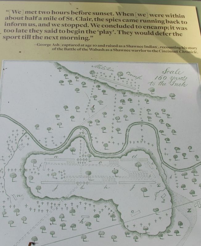
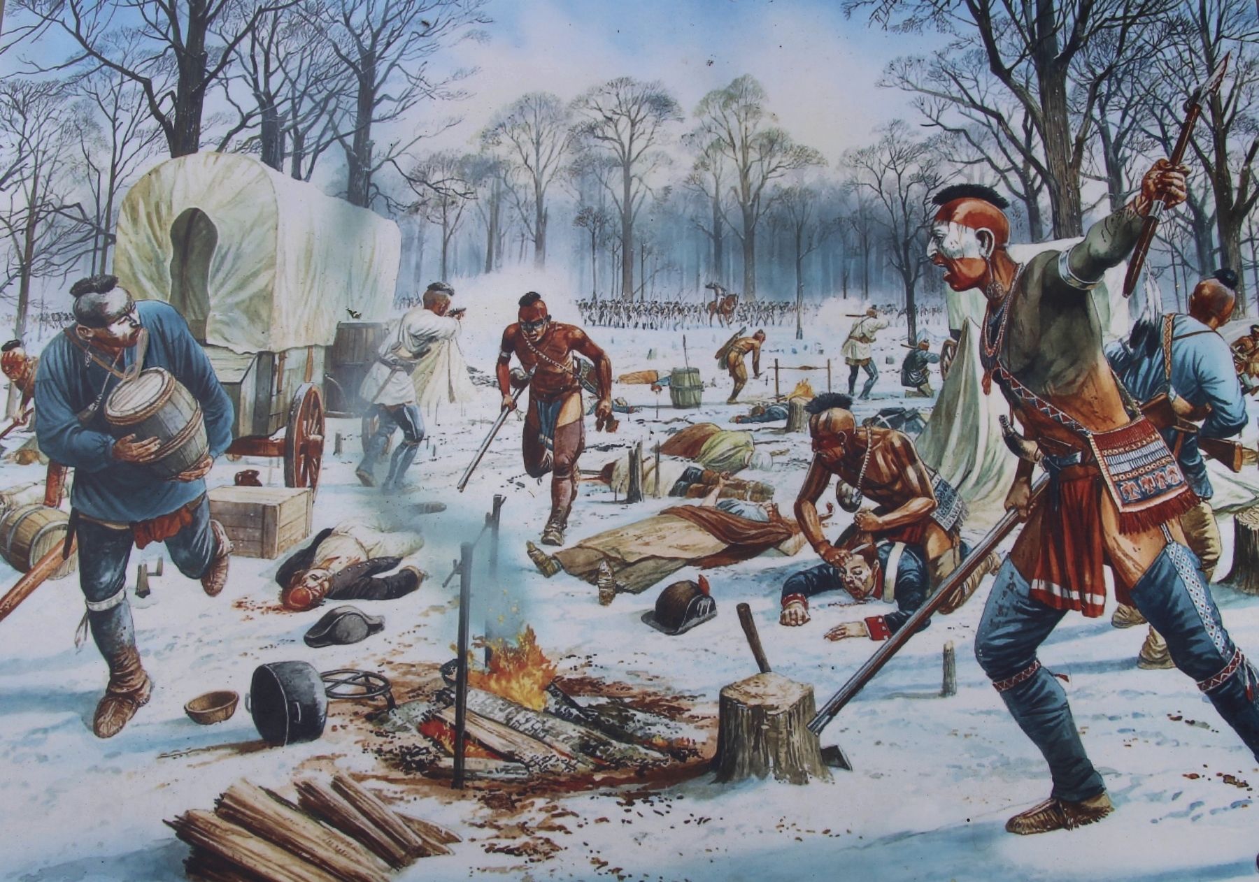
St. Clair's Kentucky Militia (approximately 300 men) camped in general vicinity of the shelter houses across from the Wabash River in Ambassador Park. The 1,400 warriors of the American Indian alliance assembled before sunset on the high ridge beyond the Kentucky Militia in a crescent formation, a proven battle strategy to encircle the enemy with minimal losses. They could see St. Clair's main encampment clearly from their position. Based on the landscape, their view of the militia camp was more limited. The presence of American Indian warriors, undoubtedly scouting the location of the U.S. military, had been reported throughout the night by military sentinels closer to the militia camp. At dawn on November 4, the center of the American Indian crescent (Miami, Shawnee, Delaware) attacked the Kentucky Militia while the rest of the warriors surrounded St. Clair's army.
Middle panel of text:
The nine tribes of the American Indian alliance (Cherokee, Delaware, Miami, Ojibwa, Ottawa, Potawatomi, Seneca, Cayuga, Shawnee, Wyandot) through time have branched into 35 federally recognized tribes. The tribes today have governmental headquarters in Oklahoma, Kansas, Michigan, Wisconsin, and other states. Descendants of the American Indian warriors and tribal leaders live across the United States.
Erected by National Park Service American Battlefield Protection Program and the State of Ohio. (Marker Number 5.)
Topics. This historical marker is listed in these topic lists: Native Americans • Wars, US Indian. A significant day of the year for for this entry is November 4.
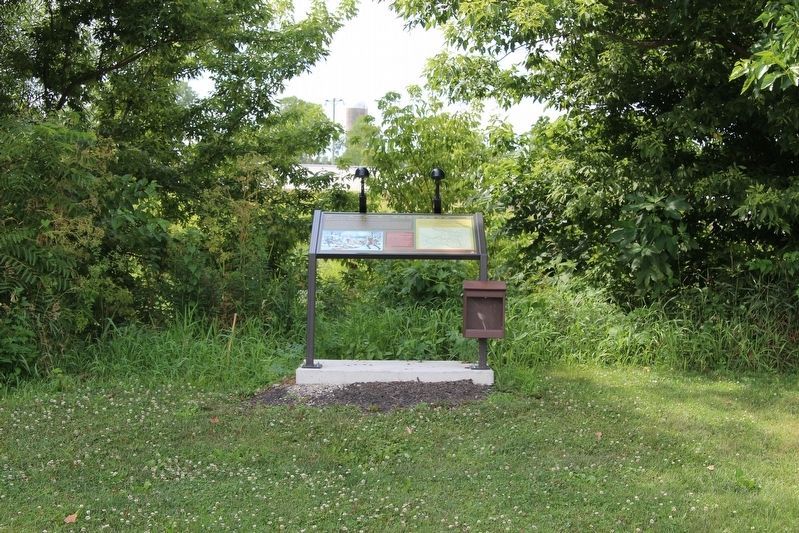
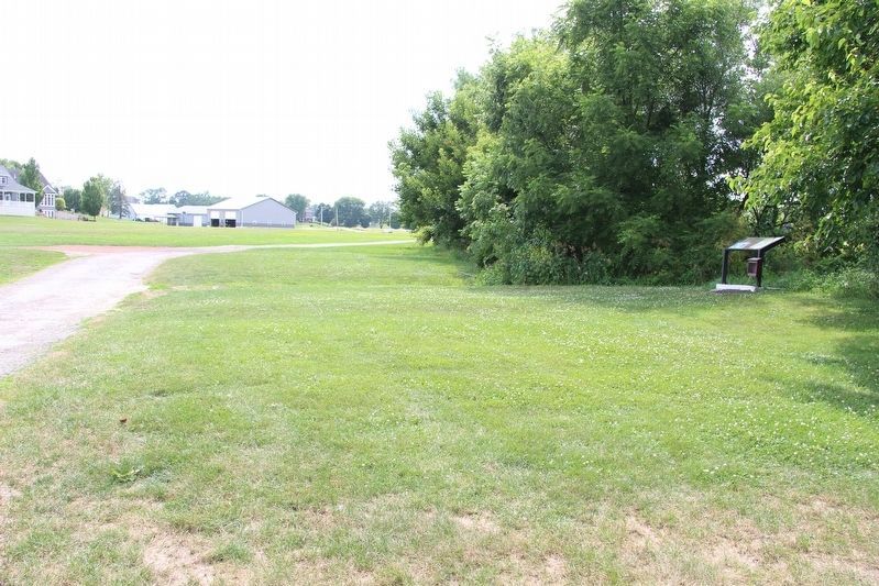
Location. 40° 24.899′ N, 84° 46.977′ W. Marker is in Fort Recovery, Ohio, in Mercer County. Marker is on Fort Site Street south of West Boundary Street, on the right when traveling south. This marker is located in the park that is part of the Fort Recovery state historic site. More specifically, it is located along the western boundary of the park, along the parkside shoreline of the Wabash River. Touch for map. Marker is at or near this postal address: 1 Fort Site Street, Fort Recovery OH 45846, United States of America. Touch for directions.
Other nearby markers. At least 8 other markers are within walking distance of this marker. The Battlefield (about 400 feet away, measured in a direct line); American Indian Tribes (about 400 feet away); American Indian Strategy: Use of the Landscape (about 500 feet away); On Christmas Day 1793 (about 600 feet away); The Battle of Fort Recovery (about 600 feet away); On This Triangle of Land (about 600 feet away); The Old Wabash River (about 600 feet away); The Wabash (Ouabache) River (about 600 feet away). Touch for a list and map of all markers in Fort Recovery.

Photographed By Dale K. Benington, July 15, 2019
3. Kentucky Militia Encampment Marker
Close-up view of the map that is displayed on this marker. The caption reads as follows: Map of the Battle of the Wabash by Major Winthrop Sargent, who was present at the battle. This shows the militia camp across the Wabash River, about 300 yards from St. Clair's main encampment. The crosses signify the American Indians attacking the militia and surrounding St. Clair's army.
Credits. This page was last revised on August 3, 2019. It was originally submitted on August 2, 2019, by Dale K. Benington of Toledo, Ohio. This page has been viewed 150 times since then and 10 times this year. Photos: 1, 2, 3, 4, 5, 6. submitted on August 2, 2019, by Dale K. Benington of Toledo, Ohio.


