Fort Recovery in Mercer County, Ohio — The American Midwest (Great Lakes)
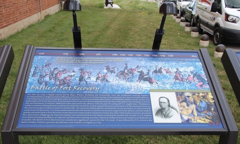
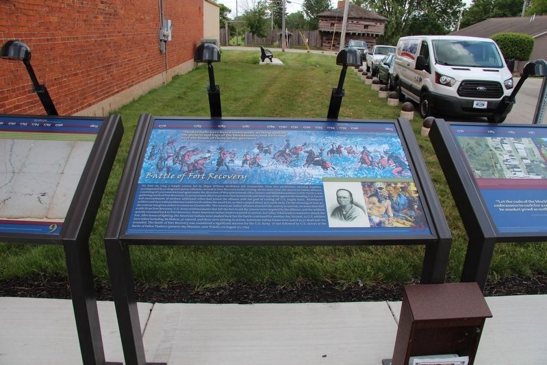
Battle of Fort Recovery
Isaac Paxton of Captain Alexander Gibson's rifle company
On June 29, 1794, a supply convoy led by Major William McMahon left Greeneville. Over 360 packhorses carrying supplies, accompanied by 50 dragoons and 90 rifleman, arrived at Fort Recovery in the evening. At the same time, the American Indian alliance, consisting of 2,000 warriors and again under the direction of Weyapiersenwah (Blue Jacket) and Mihšihkinaahkwa (Little Turtle), was gathering north of Fort Recovery. In an increased effort to protect their homelands and their way of life against the invading U.S. forces and encroachment of settlers, additional tribes had joined the alliance with the goal of cutting off U.S. supply lines. McMahon's soldiers and men with packhorses could not fit within the small fort, so they camped about 400 yards away. On the morning of June 30, the convoy was given orders to return to Greeneville. The American Indian alliance attacked the convoy at sunrise, no more than half a mile from Fort Recovery. U.S. Army reinforcements that left the fort to aid the convoy were targeted by the alliance, and the soldiers quickly retreated back to Fort Recovery. Some American Indian leaders wanted to retreat, but other tribal leaders wanted to attack the fort. After hours of fighting, the American Indians were pushed back but the battle continued for another day. In total, 22 U.S. soldiers were killed including McMahon, 30 injured, and three were missing in action. American Indian losses were noted as 50 dead and 100 wounded. The Battle of Fort Recovery was considered a significant success for the U.S. Army. It was followed by U.S. victory at the Battle of Fallen Timbers (present-day Maumee, near Toledo) on August 20, 1794.
Erected by National Park Service American Battlefield Protection Program and the State of Ohio. (Marker Number 10.)
Topics. This historical marker is listed in these topic lists: Forts and Castles • Native Americans • Wars, US Indian. A significant historical date for this entry is June 30, 1794.
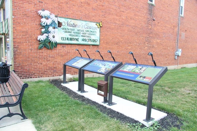
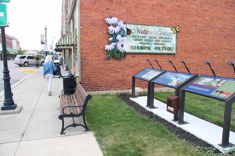
Location. 40° 24.855′ N, 84° 46.776′ W. Marker is in Fort Recovery, Ohio, in Mercer County. Marker is at the intersection of Wayne Street and West Boundary Street, on the right when traveling south on Wayne Street. This marker is part of a cluster of three markers, that are located on the southwest corner of the intersection, on a sliver of a vacant lot, next to a brick building. Touch for map. Marker is at or near this postal address: 133 Wayne Street, Fort Recovery OH 45846, United States of America. Touch for directions.
Other nearby markers. At least 8
other markers are within walking distance of this marker. Locating the Fort (here, next to this marker); Building Fort Recovery (here, next to this marker); a different marker also named The Battle of Fort Recovery (within shouting distance of this marker); The Role of Women in the Battle (within shouting distance of this marker); St. Clair's Defeat / Battle of Fort Recovery (within shouting distance of this marker); The Battle of the Wabash (within shouting distance of this marker); Strong, tall, redheaded Nance (within shouting distance of this marker); Weaponry at the Battle of the Wabash and the Battle of Fort Recovery (within shouting distance of this marker). Touch for a list and map of all markers in Fort Recovery.
Photographed By Dale K. Benington, July 15, 2019
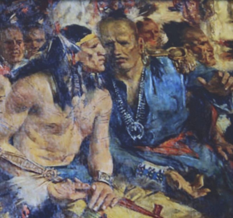
3. Battle of Fort Recovery Marker
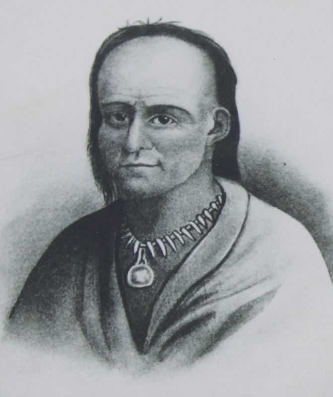
Close-up view of a painting of Blue Jacket that is displayed on this marker. The caption for this painting reads: Close-up view of Weyapiersenwah (Blue Jacket) from the painting "The Signing of the Treaty of Greene Ville, 1795" as depicted by Howard Chandler Christy. Image from Ohio History Central.
Credits. This page was last revised on August 4, 2019. It was originally submitted on August 4, 2019, by Dale K. Benington of Toledo, Ohio. This page has been viewed 294 times since then and 27 times this year. Photos: 1, 2, 3, 4, 5, 6. submitted on August 4, 2019, by Dale K. Benington of Toledo, Ohio.
