Near Richfield in Sevier County, Utah — The American Mountains (Southwest)
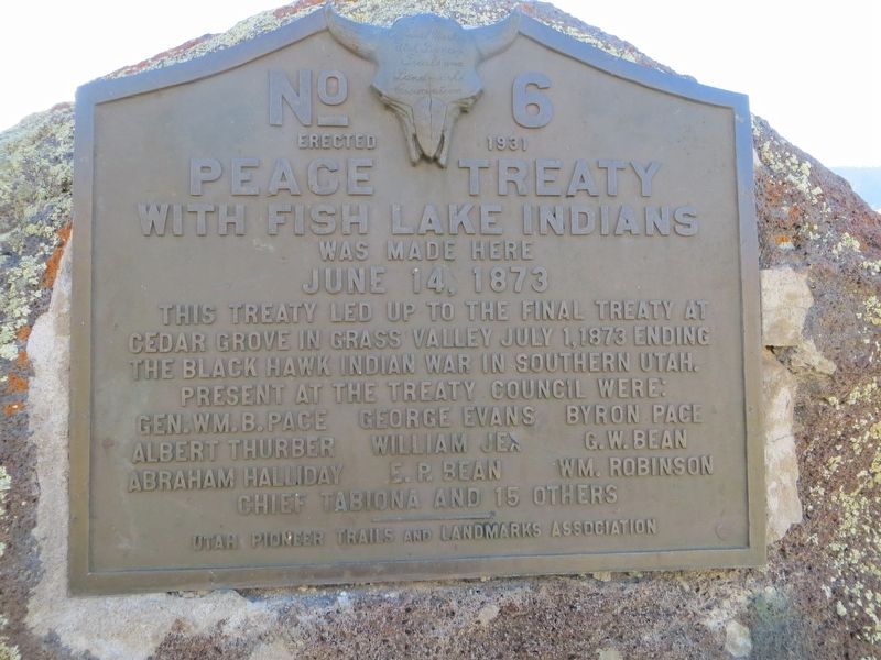
Peace Treaty with Fish Lake Indians
June 14, 1873
Present at the treaty council were: Gen. Wm. B. Pace · George Evans · Byron Pace - Albert Thurber · William Jex · G.W. Bean - Abraham Halliday · E.R. Bean · Wm. Robinson - Chief Tabiona and 15 others
Erected 1931 by Utah Pioneer Trails and Landmarks Association. (Marker Number 6.)
Topics and series. This historical marker is listed in these topic lists: Native Americans • Wars, US Indian. In addition, it is included in the Utah Pioneer Trails and Landmarks Association series list. A significant historical date for this entry is June 14, 1873.
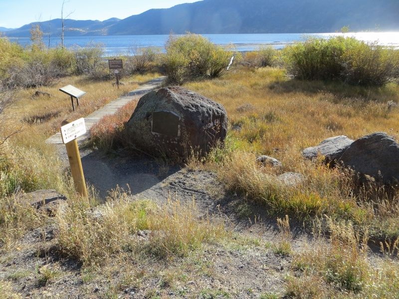
Location. 38° 32.17′ N, 111° 44.264′ W. Marker is near Richfield, Utah, in Sevier County. Marker is on Utah Route 25, 0.1 miles north of Lakeside Resort, on the right when traveling north. Touch for map. Marker is in this post office area: Richfield UT 84701, United States of America. Touch for directions.
Other nearby markers. At least 8 other markers are within 10 miles of this marker, measured as the crow flies. The Fish Lake Cut-off on the Old Spanish Trail (approx. half a mile away); Indian Peace Treaty (approx. 6.2 miles away); Settlers of Grass Valley (approx. 7.9 miles away); Koosharem Amusement Hall (approx. 7.9 miles away); The First Sawmill (approx. 8.3 miles away); Fremont Park (approx. 8.3 miles away); First Public Building (approx. 8.3 miles away); Allred Point (approx. 9.2 miles away).
Credits. This page was last revised on August 19, 2019. It was originally submitted on August 19, 2019, by Bill Kirchner of Tucson, Arizona. This page has been viewed 342 times since then and 29 times this year. Photos: 1, 2, 3. submitted on August 19, 2019, by Bill Kirchner of Tucson, Arizona.


