Delaware City in New Castle County, Delaware — The American Northeast (Mid-Atlantic)
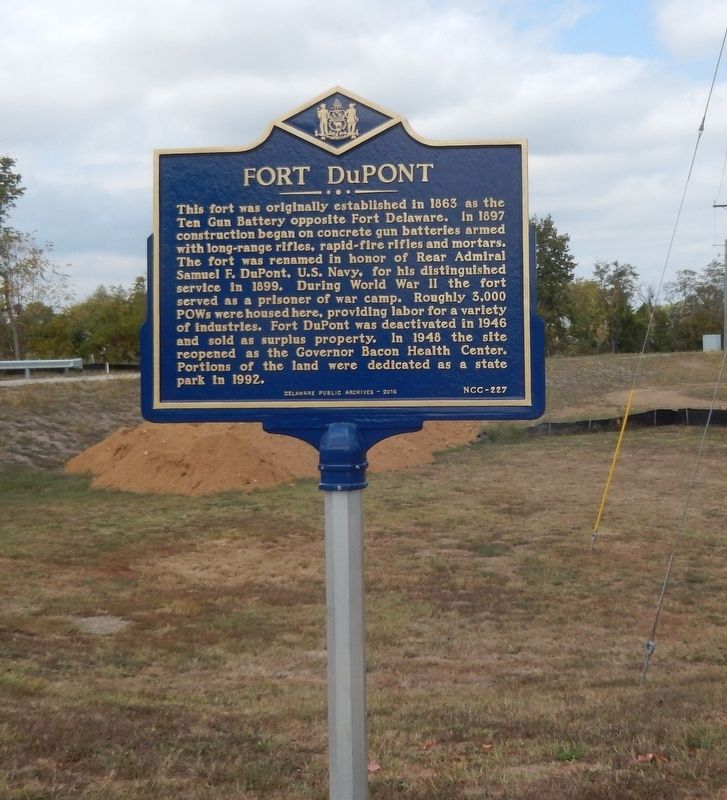
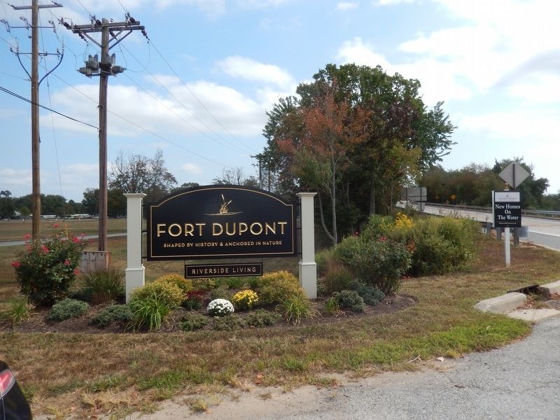
Fort DuPont
Erected 2016 by Delaware Public Archives. (Marker Number NCC-227.)
Topics and series. This historical marker is listed in these topic lists: Parks & Recreational Areas • War, US Civil • War, World II. In addition, it is included in the Delaware Public Archives series list. A significant historical year for this entry is 1863.
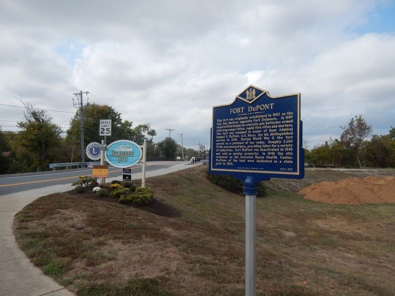
Location. 39° 34.194′ N, 75° 35.394′ W. Marker is in Delaware City, Delaware, in New Castle County. Marker is at the intersection of Delaware Route 9 and New Castle Avenue, on the right when traveling west on State Route 9. Touch for map. Marker is in this post office area: Delaware City DE 19706, United States of America. Touch for directions.
Other nearby markers. At least 8 other markers are within walking distance of this marker. Michelle N. Smith Bridge (about 300 feet away, measured in a direct line); Equal Suffrage Study Club (about 500 feet away); Chapel (about 700 feet away); Polktown, Delaware (approx. 0.2 miles away); African Union Church Cemetery (approx. ¼ mile away); Who is Buried Here? (approx. ¼ mile away); United States Colored Troops in this Cemetery (approx. ¼ mile away); Polktown's Cemetery Rediscovered (approx. ¼ mile away). Touch for a list and map of all markers in Delaware City.
Also see . . . Fort DuPont State Park. (Submitted on October 2, 2019.)
Credits. This page was last revised on December 31, 2021. It was originally submitted on October 1, 2019, by Don Morfe of Baltimore, Maryland. This page has been viewed 219 times since then and 36 times this year. Photos: 1, 2, 3. submitted on October 1, 2019, by Don Morfe of Baltimore, Maryland. • Bernard Fisher was the editor who published this page.


