Muncie in Delaware County, Indiana — The American Midwest (Great Lakes)
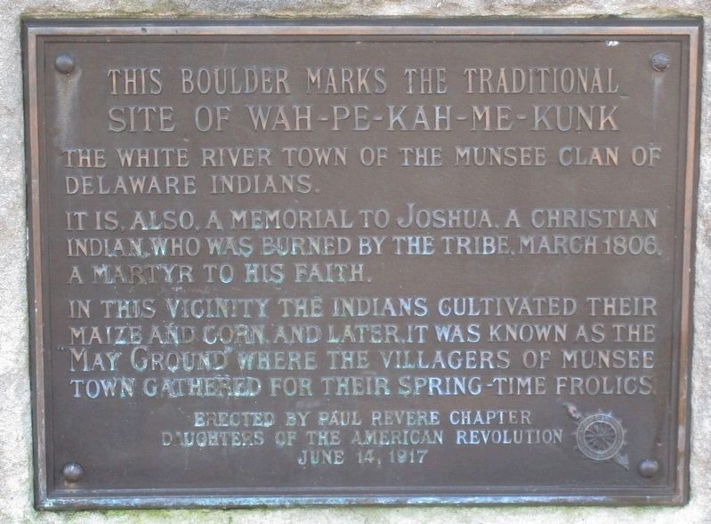
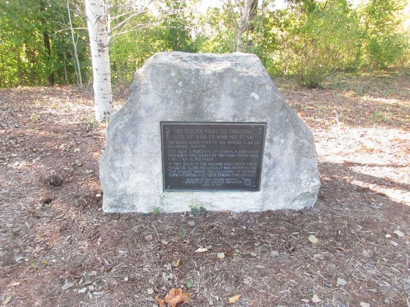
This Boulder Marks the Traditional Site of Wah-Pe-Kah-Me-Kunk
site of Wah-Pe-Kah-Me-Kunk
It is, also, a memorial to Joshua, a Christian Indian, who was burned by the tribe, March 1806, a martyr to his faith.
In this vicinity the Indians cultivated their maize and corn, and later, it was known as the May Ground where the villagers of Munsee Town gathered for their spring-time frolics.
Erected 1917 by Paul Revere Chapter, Daughters of the American Revolution.
Topics and series. This historical marker is listed in these topic lists: Churches & Religion • Native Americans • Notable Events • Settlements & Settlers. In addition, it is included in the Daughters of the American Revolution series list. A significant historical month for this entry is March 1806.
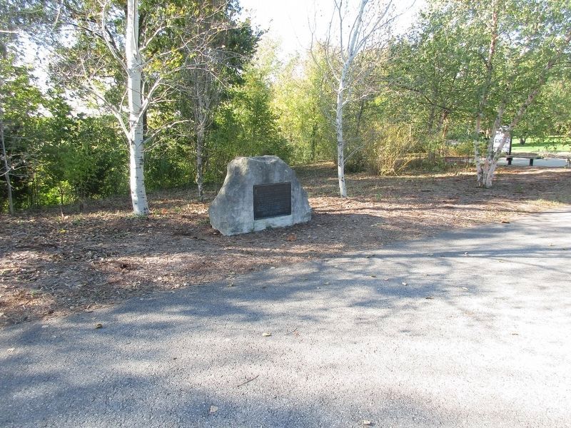
Location. 40° 12.267′ N, 85° 23.374′ W. Marker is in Muncie, Indiana, in Delaware County. Marker can be reached from West Minnestrista Boulevard south of North Minnetrista Parkway, on the left when traveling south. The marker is on the “River Walk” at the Minnetrista Gathering Center. Touch for map. Marker is at or near this postal address: 1200 North Minnetrista Parkway, Muncie IN 47303, United States of America. Touch for directions.
Other nearby markers. At least 8 other markers are within walking distance of this marker. W.A. McNaughton Building (within shouting distance of this marker); Mary Jane Gilbert (approx. half a mile away); American Legion Post No. 19 Veterans Memorial (approx. half a mile away); Gilbert Cabin Site (approx. 0.6 miles away); Delaware County Veterans Memorial (approx. ¾ mile away); Arts And Culture District (approx. ¾ mile away); Boyce Block (approx. 0.8 miles away); Muncie Urban Design Studio (approx. 0.8 miles away). Touch for a list and map of all markers in Muncie.
Credits. This page was last revised on October 16, 2019. It was originally submitted on October 15, 2019, by Rev. Ronald Irick of West Liberty, Ohio. This page has been viewed 376 times since then and 26 times this year. Photos: 1, 2, 3. submitted on October 15, 2019, by Rev. Ronald Irick of West Liberty, Ohio. • J. Makali Bruton was the editor who published this page.


