Near Marion in Grant County, Indiana — The American Midwest (Great Lakes)
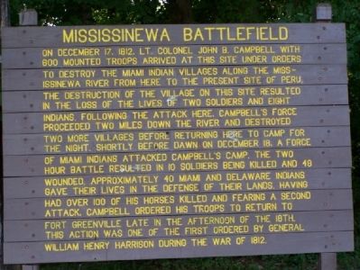
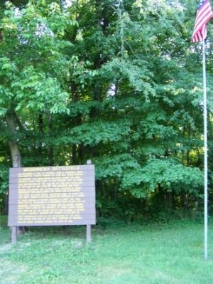
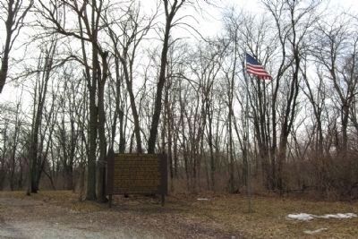
Mississinewa Battlefield
Erected 1988 by The Battlefield Society.
Topics and series. This historical marker is listed in these topic lists: Native Americans • War of 1812 • Wars, US Indian. In addition, it is included in the Former U.S. Presidents: #09 William Henry Harrison series list. A significant historical month for this entry is December 1763.
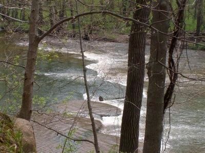
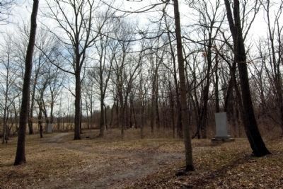
Location. 40° 37.797′ N, 85° 44.107′ W. Marker is near Marion, Indiana, in Grant County. Marker can be reached from County Road 308W, 0.7 miles south of County Road W600N, on the right when traveling south. The markers and graves are off of the road, on a gravel road. Just past the trees, you will find the Mississinewa River. Touch for map. Marker is in this post office area: Marion IN 46952, United States of America. Touch for directions.
Other nearby markers. At least 5 other markers are within walking distance of this marker. Here on December 17-18, 1812 (within shouting distance of this marker); Conner's Mill (about 500 feet away, measured in a direct line); The Battle Of Mississinewa (approx. half a mile away); Miami Indian Cemetery (approx. ¾ mile away); Chief Meshingomesia (approx. 0.8 miles away).
Regarding Mississinewa Battlefield.
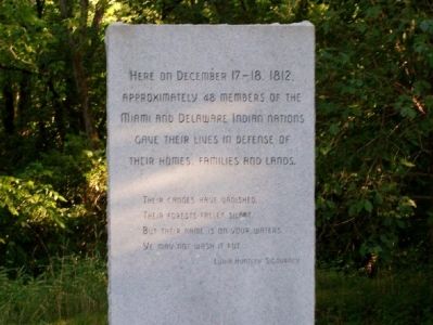
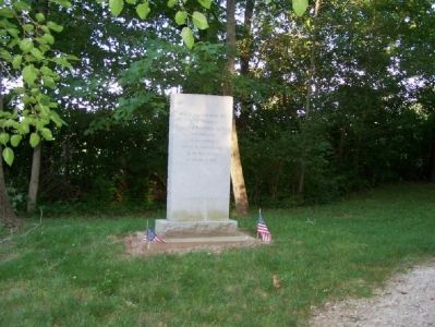
(Photo 3: Monument to the Indians)
Here on December 17 - 18, 1812, approximately 48 members of the Miami and Delaware Indian nations gave their lives in defense of their homes, families and lands.
Their canoes have vanished
Their forests fallen silent.
But their name is on your waters
Ye may not wash it out.
—Lydia Huntley Sigourney
Mississinewa Battlefield Society 1988
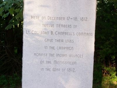
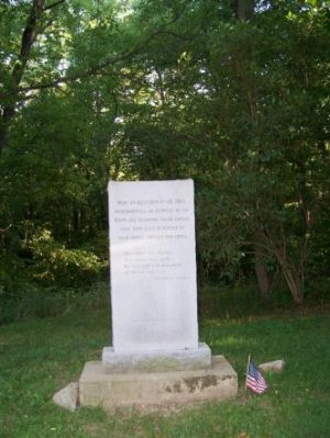
(Photo 4: Monument to the U.S. Troops)
Here on December 17-18 1812, twelve members of Lt. Col. John B. Campbell’s command gave their lives in the Campaign against the Indian villages of the Mississinewa in the War of 1812.
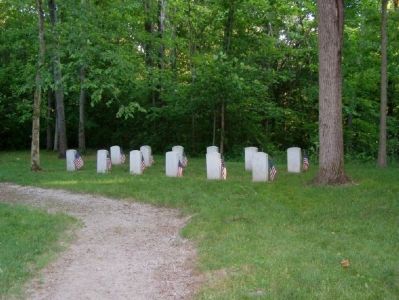
(Photo 7: Soldiers’ Grave Inscriptions)
• Bedford, Pvt. Thomas “Kentucky Volunteers” • “In memory of - War of 1812 Dec. 18, 1812”
• Brown, Pvt. Beverly “Kentucky Volunteers” • “In memory of - War of 1812 Dec. 18, 1812”
• Carnahan, Pvt. Thomas “Kentucky Volunteers” • “In memory of - War of 1812 Dec. 18, 1812”
• Cunningham, Pvt. Daniel “Ohio Volunteers” • “In memory of - War of 1812 Dec. 18, 1812”
• Griffin, Pvt. James “Pennsylvania Volunteer Light Dragoons” • “In memory of - War of 1812 Dec. 18, 1812”
• Lansing, Pvt. Francis “Pennsylvania Volunteers” • “In memory of - War of 1812 Dec. 18, 1812”
• Piatt, Pvt. Salem “Kentucky Volunteers” • “In memory of - War of 1812 Dec. 18, 1812”
• Pierce, Capt. Bennoni “Ohio Volunteers” • “In memory of - War of 1812 Dec. 18, 1812”
• Scott, Pvt. William “Kentucky Volunteers” • “In memory of - War of 1812 Dec. 18, 1812”
• Smith, Sgt. Thomas “Kentucky Volunteers” • “In memory of - War of 1812 Dec. 18, 1812”
• Waltz, 2nd Lt. Daniel “Pennsylvania Volunteers” • “In memory of - War of 1812 Dec. 18, 1812”
• Wright, Sgt. James “U.S. Light Dragoons” • “In memory of - War of 1812 Dec. 18, 1812”
Also see . . .
1. Battle of the Mississinewa 1812. Grant County Military entry (Submitted on October 24, 2020, by Larry Gertner of New York, New York.)
2. Lydia Huntley Sigourney (1791–1865 ). Connecticut Women's Hall of Fame entry (Submitted on July 7, 2007.)
Credits. This page was last revised on December 6, 2020. It was originally submitted on July 2, 2007, by M. Bowyer of Indianapolis, Indiana. This page has been viewed 5,928 times since then and 52 times this year. Photos: 1, 2, 3, 4, 5, 6, 7. submitted on July 2, 2007, by M. Bowyer of Indianapolis, Indiana. 8. submitted on April 30, 2008, by Christopher Light of Valparaiso, Indiana. 9, 10. submitted on January 16, 2014, by Duane Hall of Abilene, Texas. • J. J. Prats was the editor who published this page.
