Near Swoope in Augusta County, Virginia — The American South (Mid-Atlantic)
West View
Confederate Camps
— 1862 Valley Campaign —
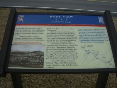
Confederates under Gen. Edward “Alleghany” Johnson withdrew to this area in April 1862, after they abandoned Camp Allegheny, 58 miles west of here at the present-day West Virginia border.
Federals under Gen. Robert Milroy followed Johnson on the Staunton-to-Parkersburg Turnpike, occupying Monterey, McDowell and Shenandoah Mountain, successively, during April. Union troops, frequently seen at Buffalo Gap and Jennings Gap to the west, threatened Staunton and the heart of the Shenandoah Valley.
Confederate Gen. Stonewall Jackson’s army was 37 miles northeast near Conrad’s Store (now Elkton). Finding Federals approaching him from the north and west, Jackson acted. He arrived in a panicked Staunton on May 4. Two days later, Johnson’s troops left their camps here at West View and marched west. Jackson’s army followed, marching from Staunton through West View to Shenandoah Mountain on May 7.
Union and Confederate forces met at McDowell on May 8, 1862. The Confederates won the battle there ending the Federal threat to Staunton.
“Johnson is at West View. Too near our home to be agreeable. We now feel what it is to have an army in our houses and an enemy thundering at our doors…. If the foe should come to your door, outwardly submit but coldly and abhor to the last those who bring to our firesides slaughter and devastation.”
– Jed Hotchkiss, Jackson’s mapmaker, in an 1862 letter to his wife in Churchville.
Erected by Virginia Civil War Trails.
Topics and series. This historical marker is listed in these topic lists: Agriculture • War, US Civil. In addition, it is included in the Virginia Civil War Trails series list. A significant historical year for this entry is 1862.
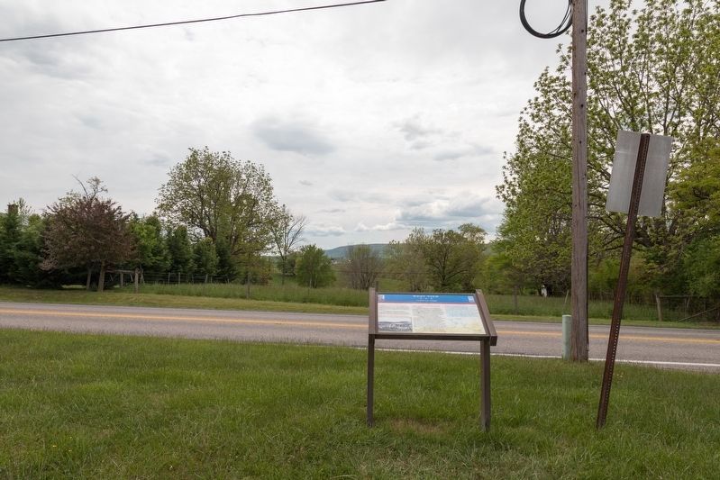
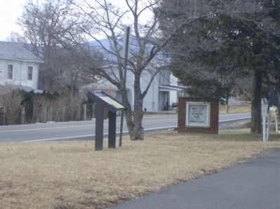
Location. 38° 10.041′ N, 79° 10.236′ W. Marker is near Swoope, Virginia, in Augusta County. Marker is on Parkersburg Turnpike (Route 254), on the right when traveling west. Touch for map. Marker is in this post office area: Swoope VA 24479, United States of America. Touch for directions.
Other nearby markers. At least 8 other markers are within 5 miles of this marker, measured as the crow flies. Augusta County Training School (approx. 2.6 miles away); Last Indian Clash (approx. 3.8 miles away); James Edward Hanger (approx. 4.1 miles away); Montgomery Hall Park (approx. 4.6 miles away); Lt. Col. Jacob Earl "Shorty" Manch (approx. 4.8 miles away); Glebe Burying Ground (approx. 4.8 miles away); Project Dogwood: Staunton's Tradition Reborn (approx. 4.8 miles away); Augusta County Confederates Plaque (approx. 4.8 miles away).
More about this marker. On the lower left is a drawing captioned: In the nineteenth century West View was a robust agricultural area dotted by prosperous farms like the one below, pictured in the 1870s.
On the right is a map showing Civil War related sites between Staunton and Monterey.
Additional keywords. Swoope
Credits. This page was last revised on May 15, 2021. It was originally submitted on February 2, 2009, by Robert H. Moore, II of Winchester, Virginia. This page has been viewed 2,517 times since then and 54 times this year. Photos: 1. submitted on February 2, 2009, by Robert H. Moore, II of Winchester, Virginia. 2. submitted on May 15, 2021, by J. J. Prats of Powell, Ohio. 3, 4, 5. submitted on February 2, 2009, by Robert H. Moore, II of Winchester, Virginia. • Craig Swain was the editor who published this page.
