Volcano in Amador County, California — The American West (Pacific Coastal)
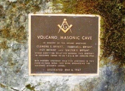
Volcano Masonic Cave
Clemens E. Bryant, Thomas L. Bryant, Roy Bryant and Walter F. Bryant
Whose surviving relatives deeded this property to Volcano Lodge No. 56 F. & A. M. on June 20, 1962.
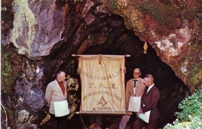
Our pioneer brethren held five meetings in this cave in 1853 when they were organizing the Volcano Masonic Lodge.
Dedicated May 6, 1967
Erected 1967 by Volcano Lodge No. 56 F. & A. M.
Topics. This historical marker is listed in these topic lists: Fraternal or Sororal Organizations • Natural Features. A significant historical date for this entry is May 6, 1825.
Location. 38° 26.432′ N, 120° 37.828′ W. Marker is in Volcano, California, in Amador County. Marker can be reached from Masonic Cave Road, 0.2 miles north of Pine Grove Volcano Road. Touch for map. Marker is in this post office area: Volcano CA 95689, United States of America. Touch for directions.
Other nearby markers. At least 8 other markers are within walking distance of this marker. St. George Hotel (about 400 feet away, measured in a direct line); Moose Milk (about 400 feet away); General Store (about 600 feet away); Carlo Andrea Dondero (about 600 feet away); Soldier Gulch (approx. 0.2 miles away); Volcano (approx. 0.2 miles away); a different marker also named Volcano (approx. 0.2 miles away); The Old Bavarian Brewery (approx. 0.2 miles away). Touch for a list and map of all markers in Volcano.
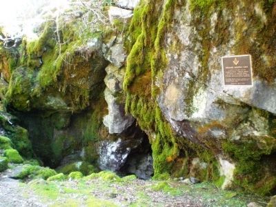
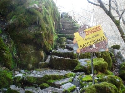
More about this marker. Parking and access to the cave are free. From the parking lot, follow the sign pointing to the main cave (past two slightly smaller caves). The cave is unlit, and there are no handrails or any safety features - be careful when entering the cave.
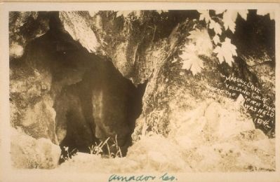
Regarding Volcano Masonic Cave. The cave itself seems not to extend back more than 30 feet into the hillside. From its limited size, one might surmise that attendance at these first Masonic meetings was probably sparse.
Also see . . . Volcano. A potted history of Volcano, including a small section with additional pictures of the Masonic Cave. (Submitted on February 3, 2009.)
Additional commentary.
1. Huell Howser Ca Gold was fun to watch
Really glad there is info online to support what I just watched on KBPS. Next time I'm in Gold Country I'll try to stop bye for a look see!
Editor's Note: Huell Howser's California Gold is a PBS production seen on California public TV stations. Huell and his crew visit historical sites throughout the state.
— Submitted March 12, 2012, by Kris Stewart of Encinitas, California.
Credits. This page was last revised on June 16, 2016. It was originally submitted on February 3, 2009, by Andrew Ruppenstein of Lamorinda, California. This page has been viewed 11,663 times since then and 264 times this year. Photos: 1, 2, 3. submitted on February 3, 2009, by Andrew Ruppenstein of Lamorinda, California. 4. submitted on March 16, 2009. 5. submitted on February 3, 2009, by Andrew Ruppenstein of Lamorinda, California. • Kevin W. was the editor who published this page.
