Rose Hill in Fairfax County, Virginia — The American South (Mid-Atlantic)
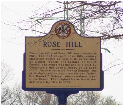
Rose Hill
Erected 2000 by Fairfax County History Commission.
Topics and series. This historical marker is listed in these topic lists: Political Subdivisions • War, US Civil. In addition, it is included in the Virginia, Fairfax County History Commission series list. A significant historical date for this entry is September 28, 1863.
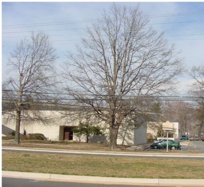
Location. 38° 46.947′ N, 77° 7.134′ W. Marker is in Rose Hill, Virginia, in Fairfax County. Marker is on Rose Hill Drive, 0.2 miles south of Franconia Road (County Route 644), on the left when traveling east. It is in front of the John Marshall Public Library. Touch for map. Marker is at or near this postal address: 6209 Rose Hill Dr, Alexandria VA 22310, United States of America. Touch for directions.
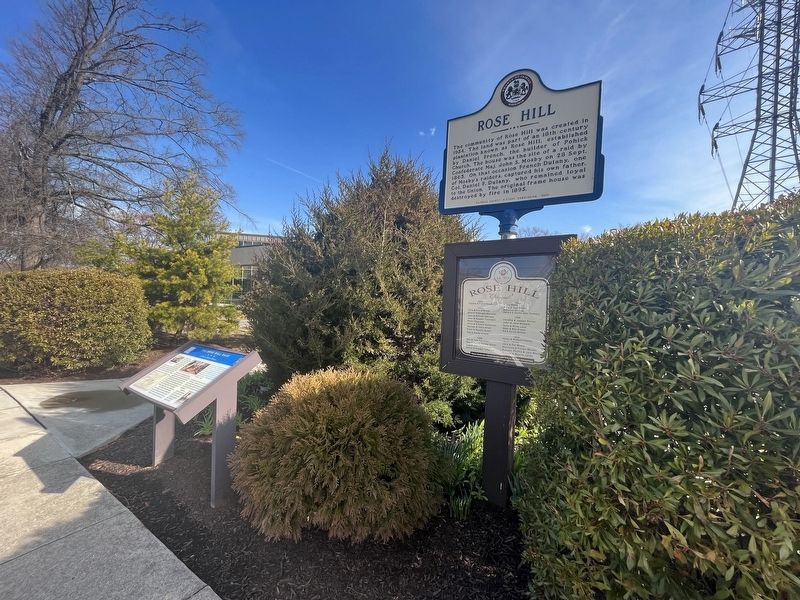
Other nearby markers. At least 10 other markers are within 2 miles of this marker, measured as the crow flies. A different marker also named Rose Hill (here, next to this marker); The Rose Hill Raid (here, next to this marker); Birthplace of Fitzhugh Lee (approx. 0.6 miles away); Saint Mark's Episcopal Church (approx. 1.2 miles away); Bush Hill (approx. 1.4 miles away); Franconia (approx. 1.6 miles away); Hensley Park (approx. 1.6 miles away); Missing Views, Lost Stories (approx. 1.7 miles away); A View from the Beginning / Explore Historic Huntley (approx. 1.7 miles away); Huntley (approx. 1.7 miles away). Touch for a list and map of all markers in Rose Hill.
Also see . . . Franconia Museum. Photos, including marker dedication. (Submitted on March 12, 2006.)
Credits. This page was last revised on March 18, 2023. It was originally submitted on March 12, 2006, by J. J. Prats of Powell, Ohio. This page has been viewed 3,538 times since then and 95 times this year. Photos: 1. submitted on March 12, 2006, by J. J. Prats of Powell, Ohio. 2. submitted on March 18, 2023, by Devry Becker Jones of Washington, District of Columbia. 3. submitted on March 12, 2006, by J. J. Prats of Powell, Ohio.
Editor’s want-list for this marker. Spring, summer, and fall photos • Can you help?


