Near Elkton in Cecil County, Maryland — The American Northeast (Mid-Atlantic)
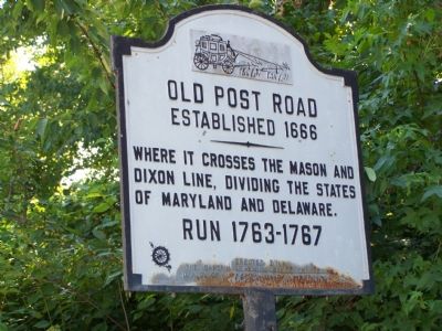
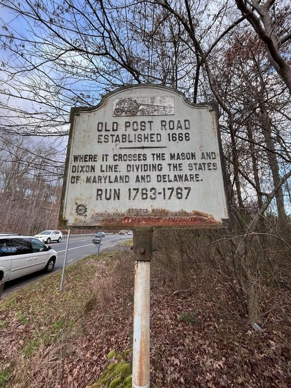
Old Post Road
Established 1666
Inscription.
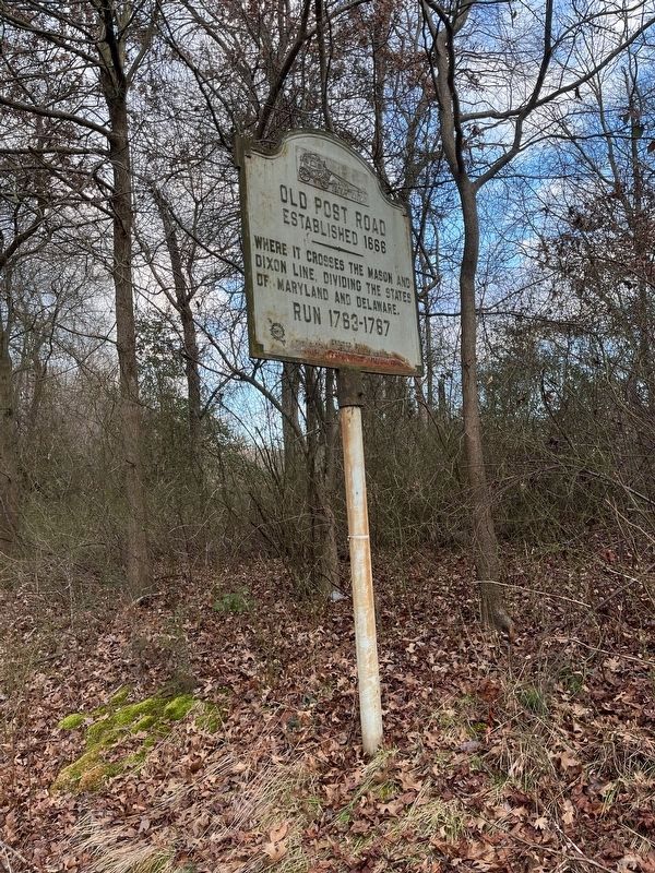
Where it crosses the Mason and Dixon Line, dividing the States of Maryland and Delaware.
Erected by The Captain Jeremiah Baker Chapter D.A.R. Perryville - Cecil County - Maryland.
Topics and series. This historical marker is listed in these topic lists: Colonial Era • Landmarks • Roads & Vehicles. In addition, it is included in the Daughters of the American Revolution series list. A significant historical year for this entry is 1767.
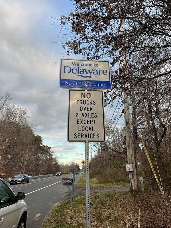
Location. 39° 37.292′ N, 75° 47.189′ W. Marker is near Elkton, Maryland, in Cecil County. Marker is on Maryland Route 281, 0.3 miles east of Delancy Road, on the right when traveling east. Touch for map. Marker is in this post office area: Elkton MD 21921, United States of America. Touch for directions.
Other nearby markers. At least 8 other markers are within 2 miles of this marker, measured as the crow flies. Flight 214 (approx. 0.6 miles away); Site of the First Iron Hill School (approx. 1.6 miles away in Delaware); Ninety Years Recording the Black Population of Pencader Hundred: The U.S. Census (approx. 1.6 miles away in Delaware); The Iron Hill Community: Free Black Landowners (approx. 1.6 miles away in Delaware); What is the mound behind this sign? (approx. 1.6 miles away in Delaware); The Civil War 1861 - 1865 (approx. 1.6 miles away in Delaware); Iron Mining on Iron and Chestnut Hills, A Timeline (approx. 1.6 miles away in Delaware); Iron Hill School #112-C (approx. 1.7 miles away in Delaware).
Credits. This page was last revised on January 11, 2024. It was originally submitted on July 12, 2007, by Bill Pfingsten of Bel Air, Maryland. This page has been viewed 2,129 times since then and 64 times this year. Last updated on February 15, 2020, by Carl Gordon Moore Jr. of North East, Maryland. Photos: 1. submitted on July 12, 2007, by Bill Pfingsten of Bel Air, Maryland. 2, 3, 4. submitted on January 4, 2024, by Adam Margolis of Mission Viejo, California.


