Near Fredericksburg in Stafford County, Virginia — The American South (Mid-Atlantic)
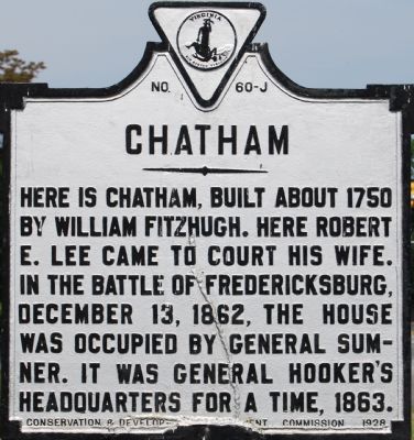
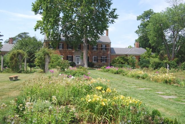
Chatham
Erected 1928 by Conservation & Development Commission. (Marker Number J-60.)
Topics and series. This historical marker is listed in these topic lists: Colonial Era • Settlements & Settlers • War, US Civil. In addition, it is included in the Virginia Department of Historic Resources (DHR) series list. A significant historical date for this entry is December 13, 1861.
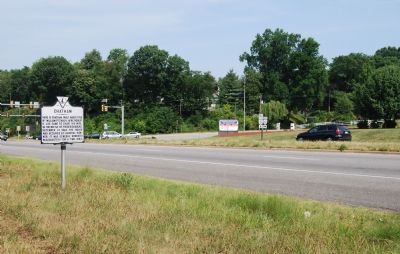
Location. This marker has been replaced by another marker nearby. It was located near 38° 18.313′ N, 77° 27.13′ W. Marker was near Fredericksburg, Virginia, in Stafford County. Marker was on Virginia Route 3, 0 miles east of Chatham Heights Road (County Route 212), on the right when traveling east. Touch for map. Marker was at or near this postal address: 18 Naomi Rd, Fredericksburg VA 22405, United States of America. Touch for directions.
Other nearby markers. At least 8 other markers are within walking distance of this location. A different marker also named Chatham (a few steps from this marker); Fredericksburg (about 500 feet away, measured in a direct line); Fredericksburg and Spotsylvania National Military Park (approx. 0.3 miles away); a different marker also named Chatham (approx. 0.3 miles away); Beyond the Big House (approx. 0.3 miles away); Chatham and the Civil War (approx. 0.3 miles away); a different marker also named Chatham (approx. 0.3 miles away); Union Soldiers View (approx. 0.3 miles away). Touch for a list and map of all markers in Fredericksburg.
Related marker. Click here for another marker that is related to this marker. This marker has been replaced with the linked marker.
Also see . . . Chatham. (Submitted on July 14, 2007, by Dawn Bowen of Fredericksburg, Virginia.)
Credits. This page was last revised on February 2, 2023. It was originally submitted on July 14, 2007, by Dawn Bowen of Fredericksburg, Virginia. This page has been viewed 1,494 times since then and 15 times this year. Photos: 1, 2, 3. submitted on July 14, 2007, by Dawn Bowen of Fredericksburg, Virginia. • J. J. Prats was the editor who published this page.


