Near Manassas in Prince William County, Virginia — The American South (Mid-Atlantic)
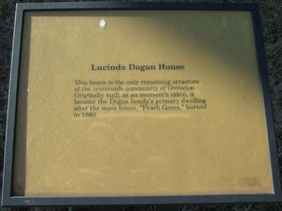
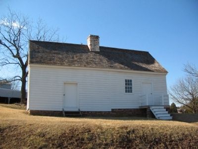
Lucinda Dogan House
Topics. This historical marker is listed in these topic lists: Settlements & Settlers • Women. A significant historical year for this entry is 1860.
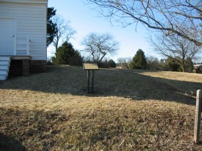
Location. This marker has been replaced by another marker nearby. It was located near 38° 48.782′ N, 77° 32.94′ W. Marker was near Manassas, Virginia, in Prince William County. Marker was at the intersection of Featherbed Lane (County Route 622) and Lee Highway (U.S. 29), on the right when traveling south on Featherbed Lane. Located at driving tour stop seven, Groveton, in Manassas National Battlefield Park. Touch for map. Marker was at or near this postal address: 6518 Featherbed Ln, Manassas VA 20109, United States of America. Touch for directions.
Other nearby markers. At least 8 other markers are within walking distance of this location. A different marker also named Lucinda Dogan House (here, next to this marker); Groveton (about 400 feet away, measured in a direct line); Groveton Confederate Cemetery (about 600 feet away); Manassas National Battlefield Park (about 600 feet away); Federal Artillery Position (about 800 feet away); Brooklyn Fourteenth (about 800 feet away); Twilight Clash (about 800 feet away); Fighting in Twilight (about 800 feet away). Touch for a list and map of all markers in Manassas.
Credits. This page was last revised on April 9, 2022. It was originally submitted on March 30, 2009, by Craig Swain of Leesburg, Virginia. This page has been viewed 1,177 times since then and 12 times this year. Photos: 1, 2, 3. submitted on March 30, 2009, by Craig Swain of Leesburg, Virginia.


