Tinicum Township near Upper Black Eddy in Bucks County, Pennsylvania — The American Northeast (Mid-Atlantic)
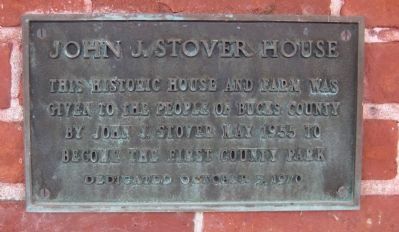
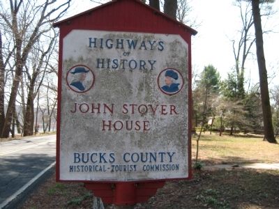
John J. Stover House
Erected 1970.
Topics. This historical marker is listed in these topic lists: Agriculture • Parks & Recreational Areas • Settlements & Settlers. A significant historical year for this entry is 1955.
Location. 40° 30.333′ N, 75° 4.038′ W. Marker is near Upper Black Eddy, Pennsylvania, in Bucks County. It is in Tinicum Township. Marker is on River Road (Pennsylvania Route 32), on the right when traveling south. Touch for map. Marker is at or near this postal address: 921 River Road, Upper Black Eddy PA 18972, United States of America. Touch for directions.
Other nearby markers. At least 8 other markers are within 2 miles of this marker, measured as the crow flies. Golden Pheasant Inn (approx. one mile away); Lower Argillite Alley (approx. one mile away in New Jersey); Delaware Canal (approx. 1.4 miles away); Frenchtown Railroad (approx. 1.4 miles away in New Jersey); Gem Building (approx. 1˝ miles away in New Jersey); Frenchtown (approx. 1˝ miles away in New Jersey); Frenchtown Methodist Episcopal Church (approx. 1.6 miles away in New Jersey); Frenchtown Veterans Monument (approx. 1.7 miles away in New Jersey).
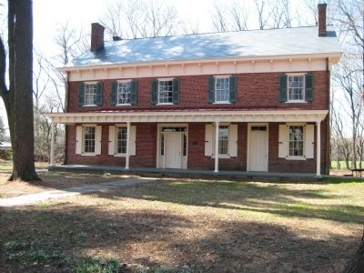
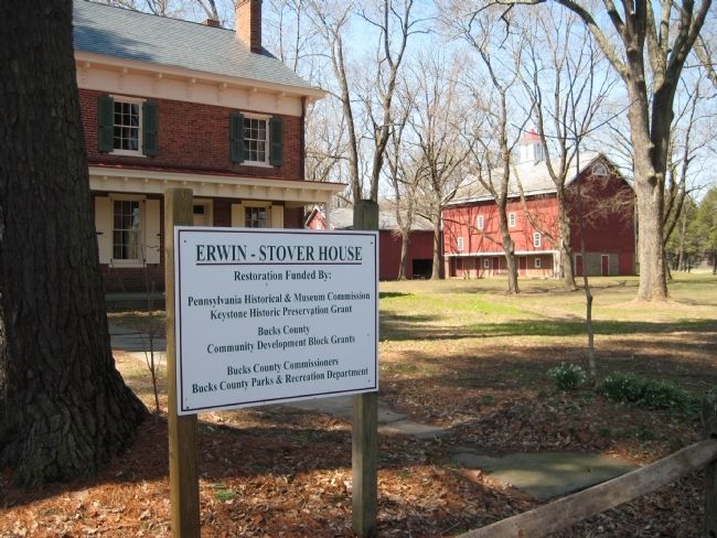
Regarding John J. Stover House. The house is an 1800 Federal-Style structure with additions added in 1840 and 1860. The land on which the house sits was purchased by Arthur Erwin, an Irish immigrant, in 1761. William Erwin, Arthur's son, built the oldest part of the house in 1800. William's daughter inherited the house, and when she died in 1846, the house was purchased by Henry Stover, a miller, for around $8,800. Stover's son Jacob added the last addition to the house in the 1860s. It remained in the Stover family until the late 1950s when the house, and its 126 surrounding acres, was donated to the county to become the County's first park (Tinicum County Park).
Also see . . . Erwin-Stover House. (Submitted on April 3, 2009.)
Credits. This page was last revised on February 7, 2023. It was originally submitted on April 3, 2009, by Alan Edelson of Union Twsp., New Jersey. This page has been viewed 1,250 times since then and 26 times this year. Photos: 1, 2, 3, 4. submitted on April 3, 2009, by Alan Edelson of Union Twsp., New Jersey. • Kevin W. was the editor who published this page.


